
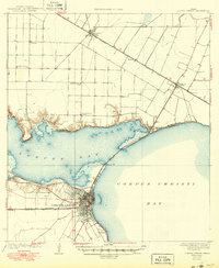
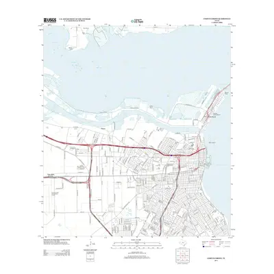
1950 Map of Corpus Christi
USGS Topo · Published 1953About this map
Corpus Christi serves as the focal point for this coastal survey, where the Encinal Peninsula divides Nueces Bay from the larger expanse of Corpus Christi Bay. The landscape to the west is heavily shaped by the energy industry of the mid-20th century, dotted with numerous oil fields and oil and gas fields near settlements like Agua Dulce and Petronila. Along the barrier system, Padre Island and Mustang Island shield the shallow Laguna Madre, while the southern reaches of the map highlight the intricate drainage into Baffin Bay via Petronila Creek and Agua Dulce Creek. Large landholdings like the Los Laureles Ranch and Chapman Ranch illustrate the transition from agricultural tracts to emerging municipal expansion. Transportation is anchored by the Texas Mexican railroad and several active and inactive aviation sites, including the Corpus Christi CAA and Kingsville CAA.
Find a feature on this map
78 named features on this map. Tap any name to fly to it.
Don’t see what you’re looking for? This feature index may not catch every label — zoom into the map to look around manually.
Map Details
Editions of this 1950 Corpus Christi Map
This is the sole edition of this map. No revisions or reprints were ever made.
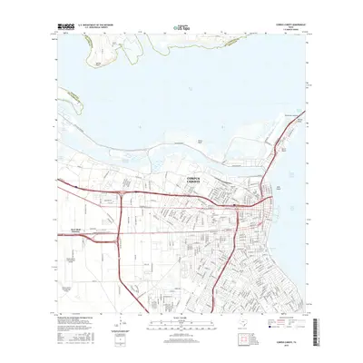
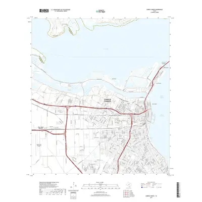
Historical Maps of Corpus Christi Through Time
15 maps found
1925 Corpus Christi
Nueces County, TX
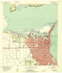
1950 Corpus Christi
Nueces County, TX
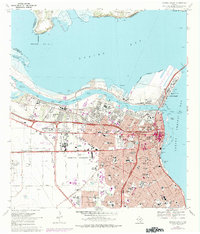
1951 Corpus Christi
Nueces County, TX

1951 Corpus Christi
Nueces County, TX

1956 Corpus Christi
Nueces County, TX

1960 Corpus Christi
Nueces County, TX

1966 Corpus Christi
Nueces County, TX
1968 Corpus Christi
Nueces County, TX

1984 Corpus Christi
Nueces County, TX

1989 Corpus Christi
Nueces County, TX
2010 Corpus Christi
Nueces County, TX
2013 Corpus Christi
Nueces County, TX
2016 Corpus Christi
Nueces County, TX
2019 Corpus Christi
Nueces County, TX
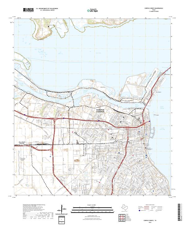
2022 Corpus Christi
Nueces County, TX