
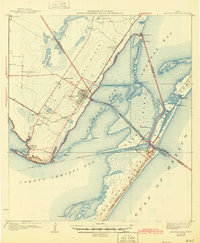
1925 Map of Aransas Pass
USGS Topo · Published 1925About this map
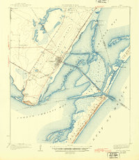
Live Oak Ridge and Oak Ridge form the spine of this coastal landscape, looking out over the intricate estuaries of Red Fish Bay and Aransas Bay in the early 1920s. The settlement at Aransas Pass is shown as a burgeoning coastal hub, serving as the junction for the San Antonio and Aransas Pass railroad. The map documents a critical period of maritime infrastructure, featuring the Draw Bridge spanning the pass to Harbor I and the prominent Aransas Pass LH guiding traffic near the United States Military Reservation. Along the western shore, small communities and educational landmarks like the Ingleside School and Mc Gloin Bluff overlook the waters of Corpus Christi Bay, illustrating the localized settlement patterns of Ingleside and its neighboring bayfront camps before later twentieth-century industrial expansion.
Find a feature on this map
52 named features on this map. Tap any name to fly to it.
Don’t see what you’re looking for? This feature index may not catch every label — zoom into the map to look around manually.
Map Details
Editions of this 1925 Aransas Pass Map
3 editions found
Other maps of this area

1925 · Oso Creek
USGS Topo · 1:62,500

1925 · Corpus Christi
USGS Topo · 1:62,500

1950 · Corpus Christi
USGS Topo · 1:250,000

1951 · Portland
USGS Topo · 1:24,000

1951 · Corpus Christi
USGS Topo · 1:62,500

1951 · Crane Islands NW
USGS Topo · 1:24,000

1951 · Oso Creek NE
USGS Topo · 1:24,000

1951 · Allyns Bight
USGS Topo · 1:24,000

1951 · Oso Creek
USGS Topo · 1:62,500

1951 · Crane Islands
USGS Topo · 1:62,500