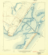
1925 Map of Aransas Pass
USGS Topo · Published 1945About this map
Oak Ridge and the coastal lowlands of the Texas Gulf Coast are documented here in the early 1920s, showing a landscape defined by the intersection of rail and tide. The San Antonio and Aransas Pass railroad provides the backbone for the mainland settlements, connecting Aransas Pass to outlying communities like Estes Siding and Ingleside. Across the waters of Red Fish Bay and Aransas Bay, the barrier islands of St Joseph Island and Mustang Island shield the mainland, marked by the Aransas Pass LH and the United States Military Reservation. The map captures the industrial and maritime character of the era, from the Terminal RR serving the coast to established ranchlands like Rincon Ranch. Coastal development is visible at Ingleside on the Bay and Harbor City, while several rural schools, including Oak Grove School and Mc Campbell School, indicate the distribution of early 20th-century families across the ridge.
Find a feature on this map
56 named features on this map. Tap any name to fly to it.
Don’t see what you’re looking for? This feature index may not catch every label — zoom into the map to look around manually.
Map Details
Editions of this 1925 Aransas Pass Map
3 editions found
Historical Maps of Corpus Christi Through Time
9 maps found
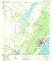
1925 Aransas Pass
Nueces County, TX
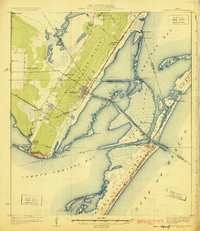
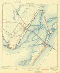
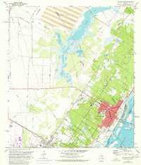
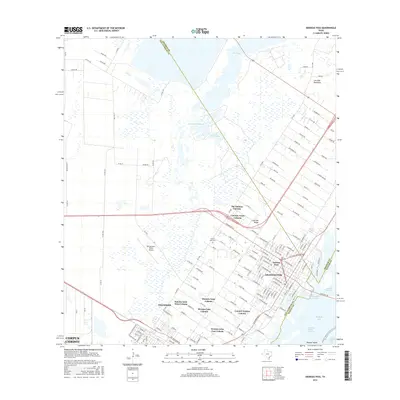
1954 Aransas Pass
Nueces County, TX
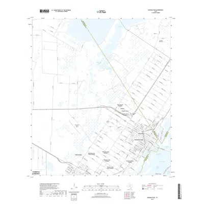
1954 Aransas Pass
Nueces County, TX
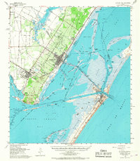
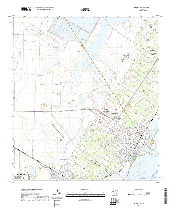
1971 Aransas Pass
Nueces County, TX
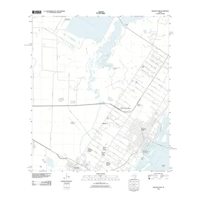
2010 Aransas Pass
Nueces County, TX
2013 Aransas Pass
Nueces County, TX
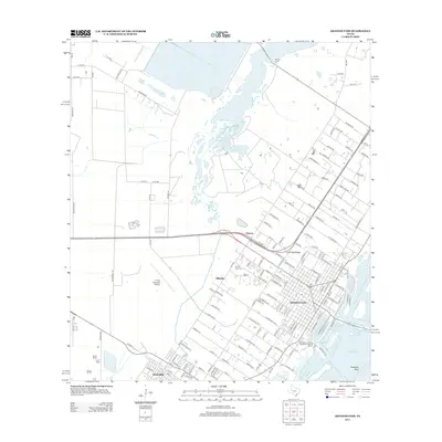
2016 Aransas Pass
Nueces County, TX
2019 Aransas Pass
Nueces County, TX
2022 Aransas Pass
Nueces County, TX