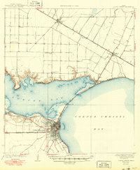
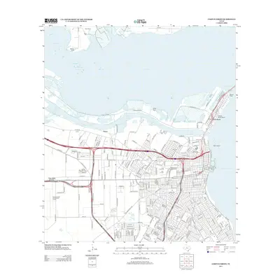
1925 Map of Corpus Christi
USGS Topo · Published 1949About this map
The city of Corpus Christi sits at the convergence of the Texas Mexican and Gulf and San Antonio rail lines, serving as a gateway between the open waters of Corpus Christi Bay and the shallower reaches of Nueces Bay. Based on surveys from the early 1920s, the map reveals an agricultural and industrial landscape on the cusp of significant expansion. To the north, the San Antonio and Aransas Pass railway links the smaller agricultural hubs of Taft, Gregory, and Portland. Local industry is evidenced by the West Portland Gin, while a Gas Crater near Rosita points to the early petroleum exploration that would later define the regional economy. Small community centers like Sodville School and Fairview School are scattered across the coastal plains, providing a view of the rural educational infrastructure before the major urban sprawl of the later 20th century.
Find a feature on this map
26 named features on this map. Tap any name to fly to it.
Don’t see what you’re looking for? This feature index may not catch every label — zoom into the map to look around manually.
Map Details
Editions of this 1925 Corpus Christi Map
This is the sole edition of this map. No revisions or reprints were ever made.
Historical Maps of Corpus Christi Through Time
15 maps found
1925 Corpus Christi
Nueces County, TX

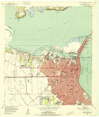
1950 Corpus Christi
Nueces County, TX
1951 Corpus Christi
Nueces County, TX

1951 Corpus Christi
Nueces County, TX

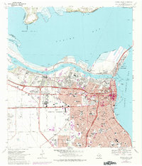
1956 Corpus Christi
Nueces County, TX

1960 Corpus Christi
Nueces County, TX

1966 Corpus Christi
Nueces County, TX
1968 Corpus Christi
Nueces County, TX

1984 Corpus Christi
Nueces County, TX

1989 Corpus Christi
Nueces County, TX
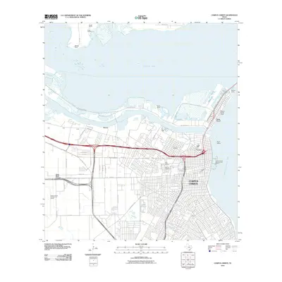
2010 Corpus Christi
Nueces County, TX
2013 Corpus Christi
Nueces County, TX
2016 Corpus Christi
Nueces County, TX
2019 Corpus Christi
Nueces County, TX
2022 Corpus Christi
Nueces County, TX