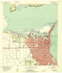
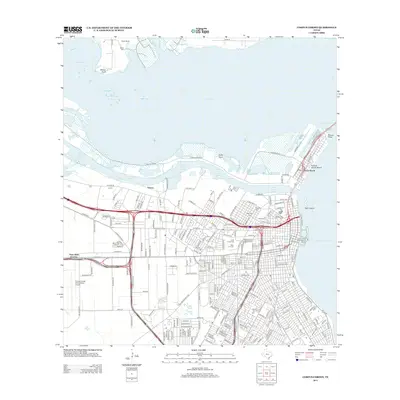
1951 Map of Corpus Christi
USGS Topo · Published 1952About this map
Nueces Bay dominates the northern landscape of this mid-century survey, where the heavy industry of the Industrial Channel meets the growing residential streets of Corpus Christi. The map records a period of significant post-war infrastructure, showing the Turning Basin and the Corpus Christi Ship Channel as central engines of the local economy. An impressive network of schools, from Miller High Sch to Del Mar College, reflects the city's mid-century expansion. To the west, the landscape transitions from the urban core toward Cliff Maus Airport and the outlying Ebony Acres settlement. Transport patterns are defined by the Nueces Bay Causeway and the tracks of the Missouri Pacific and Texas Mexican Railroad, which served the local Oil Refinery and the various oil wells dotting the coastal plains.
Find a feature on this map
73 named features on this map. Tap any name to fly to it.
Don’t see what you’re looking for? This feature index may not catch every label — zoom into the map to look around manually.
Map Details
Editions of this 1951 Corpus Christi Map
This is the sole edition of this map. No revisions or reprints were ever made.
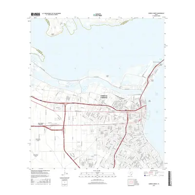
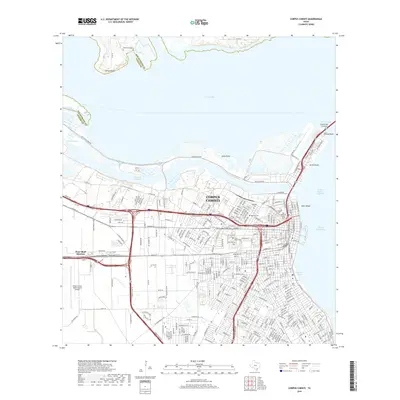
Historical Maps of Corpus Christi Through Time
15 maps found
1925 Corpus Christi
Nueces County, TX

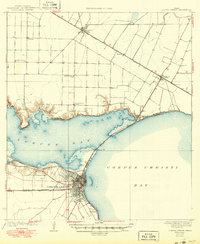
1950 Corpus Christi
Nueces County, TX
1951 Corpus Christi
Nueces County, TX

1951 Corpus Christi
Nueces County, TX

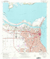
1956 Corpus Christi
Nueces County, TX

1960 Corpus Christi
Nueces County, TX

1966 Corpus Christi
Nueces County, TX
1968 Corpus Christi
Nueces County, TX

1984 Corpus Christi
Nueces County, TX

1989 Corpus Christi
Nueces County, TX
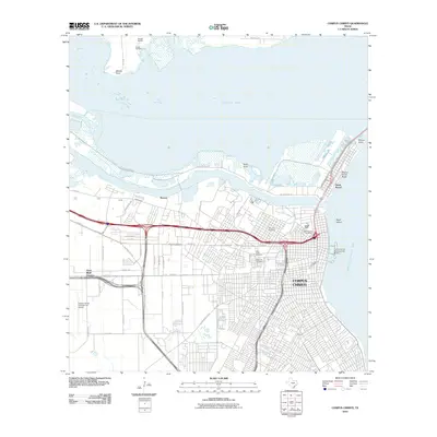
2010 Corpus Christi
Nueces County, TX
2013 Corpus Christi
Nueces County, TX
2016 Corpus Christi
Nueces County, TX
2019 Corpus Christi
Nueces County, TX
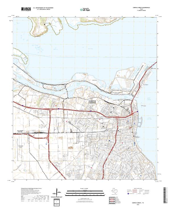
2022 Corpus Christi
Nueces County, TX