
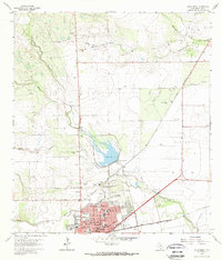
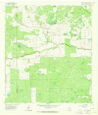
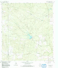
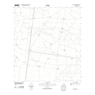
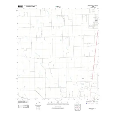
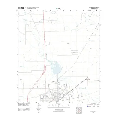
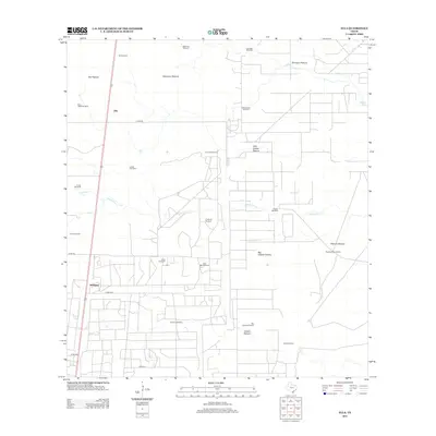
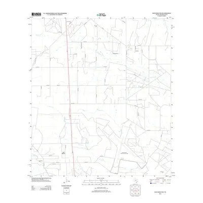
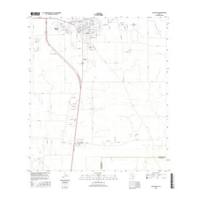
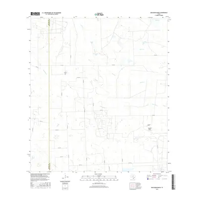
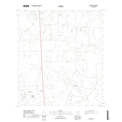
1925 Map of Mathis No. 3
USGS Topo · Published 1925About this map
The Nueces River serves as the dominant geographical artery on this sheet, carving a winding path through the borderlands where Live Oak, San Patricio, and Jim Wells counties meet. In 1925, the area was characterized by a network of drainage systems like Lagarto Creek and Resaca Creek that define the rolling topography. Small settlements and points of transit provide essential grounding for local history, with Lagarto and Sandia serving as primary hubs for the surrounding ranching and agricultural landscape.
Find a feature on this map
21 named features on this map. Tap any name to fly to it.
Don’t see what you’re looking for? This feature index may not catch every label — zoom into the map to look around manually.
Map Details
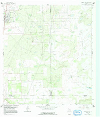
Editions of this 1925 Mathis No. 3 Map
This is the sole edition of this map. No revisions or reprints were ever made.
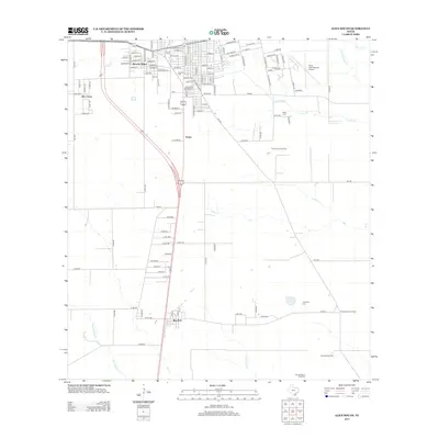
Historical Maps of Lake City Through Time
67 maps found
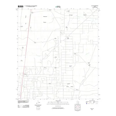
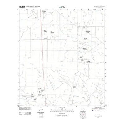
1925 Mathis No. 3
Jim Wells County, TX
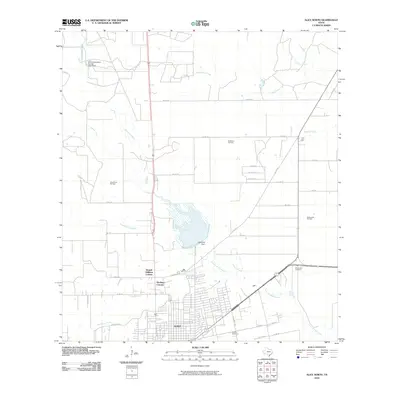
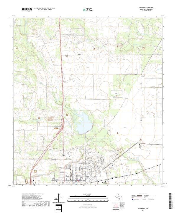
1963 Alice North
Jim Wells County, TX

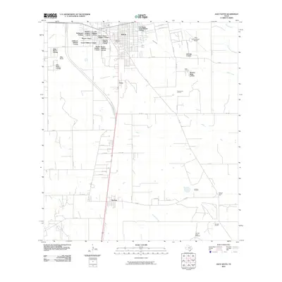
1963 Alice South
Jim Wells County, TX
1963 Ben Bolt NW
Jim Wells County, TX
1963 Ben Bolt SE
Jim Wells County, TX
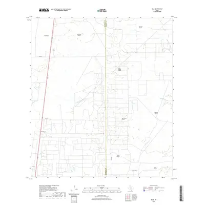
1963 Ella
Jim Wells County, TX
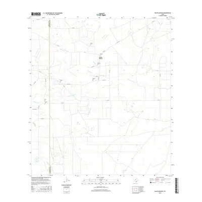
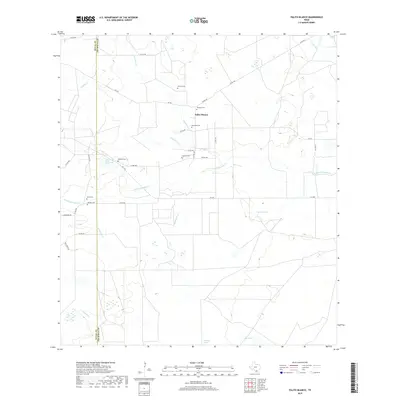
1963 Palito Blanco
Jim Wells County, TX
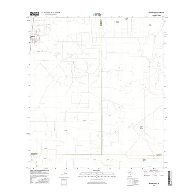
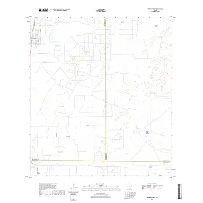
1963 Premont East
Jim Wells County, TX

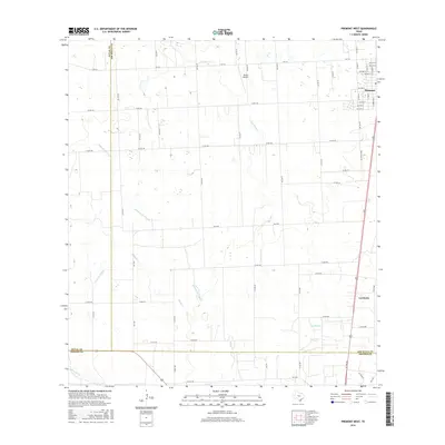
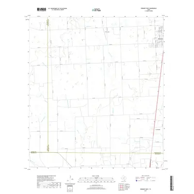
1963 Premont West
Jim Wells County, TX
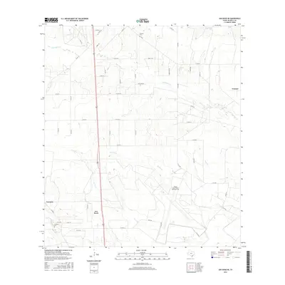
1963 San Diego NE
Jim Wells County, TX
1963 Seeligson Ranch
Jim Wells County, TX
1963 Shaeffer Ranch
Jim Wells County, TX
2010 Alice North
Jim Wells County, TX
2010 Alice South
Jim Wells County, TX
2010 Ben Bolt NW
Jim Wells County, TX
2010 Ben Bolt SE
Jim Wells County, TX
2010 Ella
Jim Wells County, TX
2010 Palito Blanco
Jim Wells County, TX
2010 Premont East
Jim Wells County, TX
2010 Premont West
Jim Wells County, TX
2010 San Diego NE
Jim Wells County, TX
2010 Seeligson Ranch
Jim Wells County, TX
2010 Shaeffer Ranch
Jim Wells County, TX
2013 Alice North
Jim Wells County, TX
2013 Alice South
Jim Wells County, TX
2013 Ben Bolt NW
Jim Wells County, TX
2013 Ben Bolt SE
Jim Wells County, TX
2013 Ella
Jim Wells County, TX
2013 Palito Blanco
Jim Wells County, TX
2013 Premont East
Jim Wells County, TX
2013 Premont West
Jim Wells County, TX
2013 San Diego NE
Jim Wells County, TX
2013 Seeligson Ranch
Jim Wells County, TX
2013 Shaeffer Ranch
Jim Wells County, TX
2016 Alice North
Jim Wells County, TX
2016 Alice South
Jim Wells County, TX
2016 Ben Bolt NW
Jim Wells County, TX
2016 Ben Bolt SE
Jim Wells County, TX
2016 Ella
Jim Wells County, TX
2016 Palito Blanco
Jim Wells County, TX
2016 Premont East
Jim Wells County, TX
2016 Premont West
Jim Wells County, TX
2016 San Diego NE
Jim Wells County, TX
2016 Seeligson Ranch
Jim Wells County, TX

2016 Shaeffer Ranch
Jim Wells County, TX
2019 Alice North
Jim Wells County, TX

2019 Alice South
Jim Wells County, TX
2019 Ben Bolt NW
Jim Wells County, TX
2019 Ben Bolt SE
Jim Wells County, TX
2019 Ella
Jim Wells County, TX
2019 Palito Blanco
Jim Wells County, TX
2019 Premont East
Jim Wells County, TX
2019 Premont West
Jim Wells County, TX
2019 San Diego NE
Jim Wells County, TX
2019 Seeligson Ranch
Jim Wells County, TX
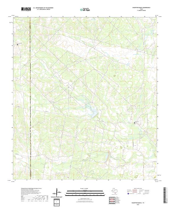
2019 Shaeffer Ranch
Jim Wells County, TX
2022 Alice North
Jim Wells County, TX
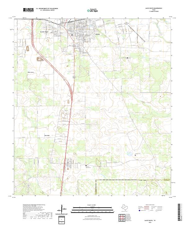
2022 Alice South
Jim Wells County, TX
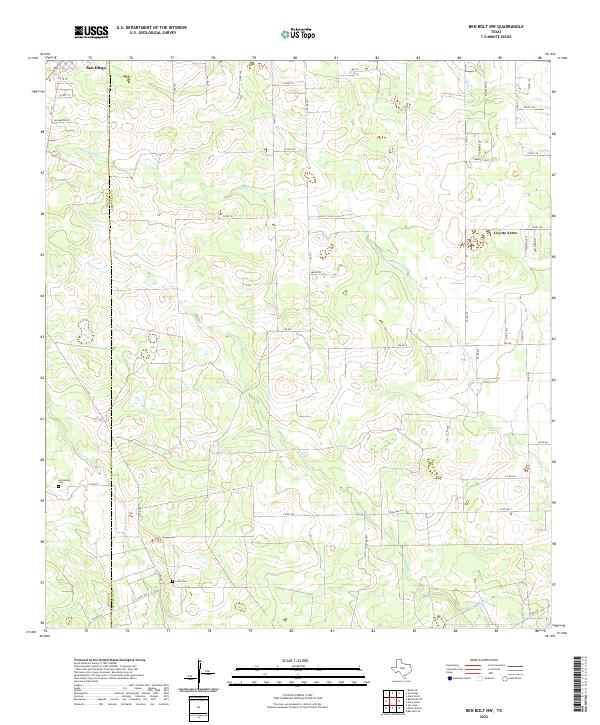
2022 Ben Bolt NW
Jim Wells County, TX
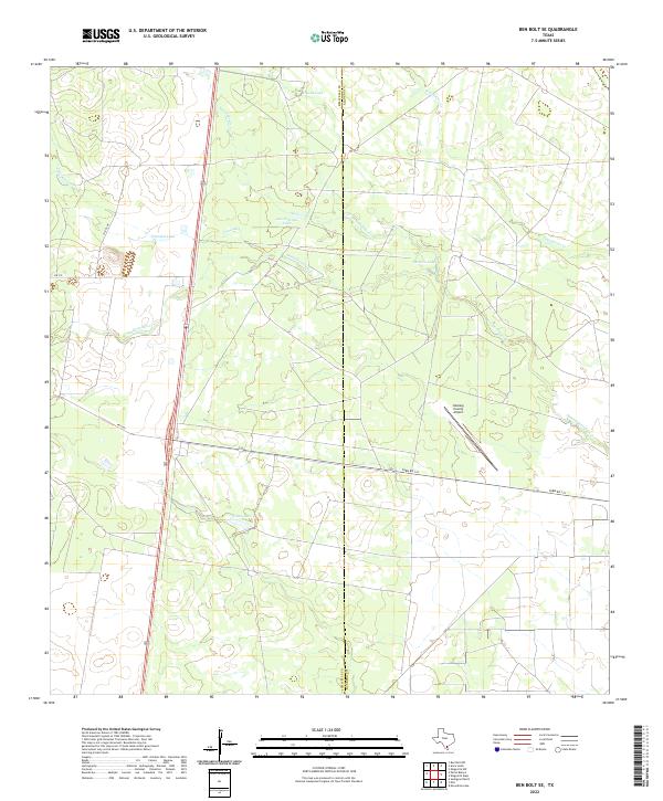
2022 Ben Bolt SE
Jim Wells County, TX
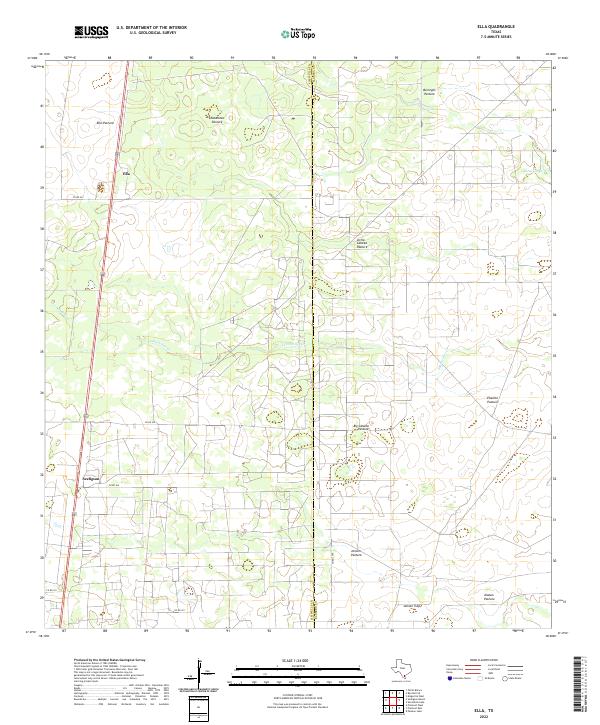
2022 Ella
Jim Wells County, TX
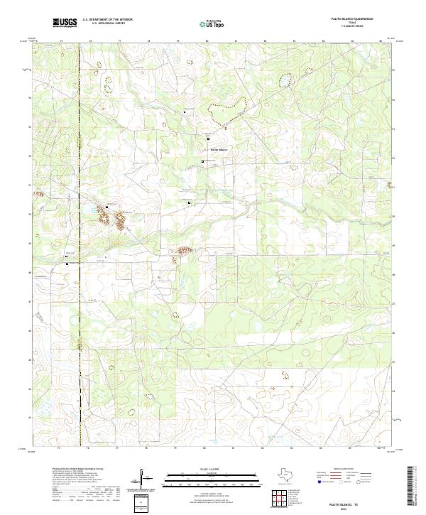
2022 Palito Blanco
Jim Wells County, TX
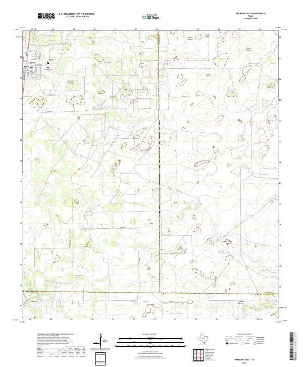
2022 Premont East
Jim Wells County, TX
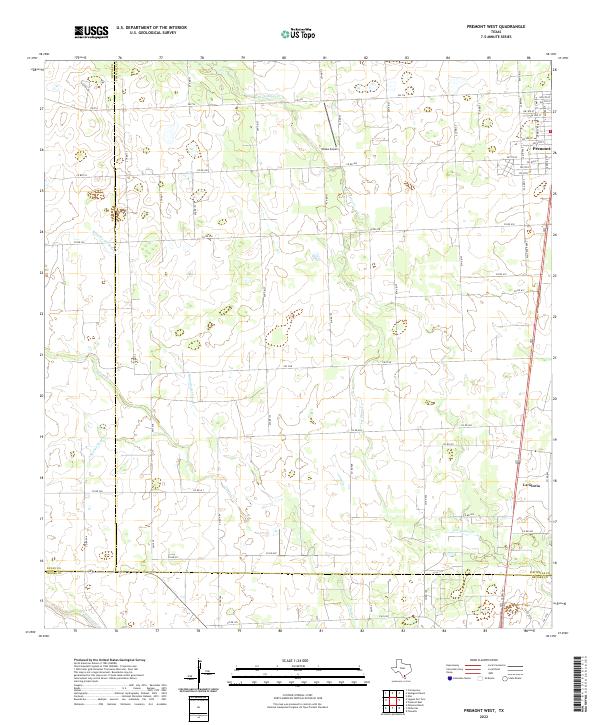
2022 Premont West
Jim Wells County, TX
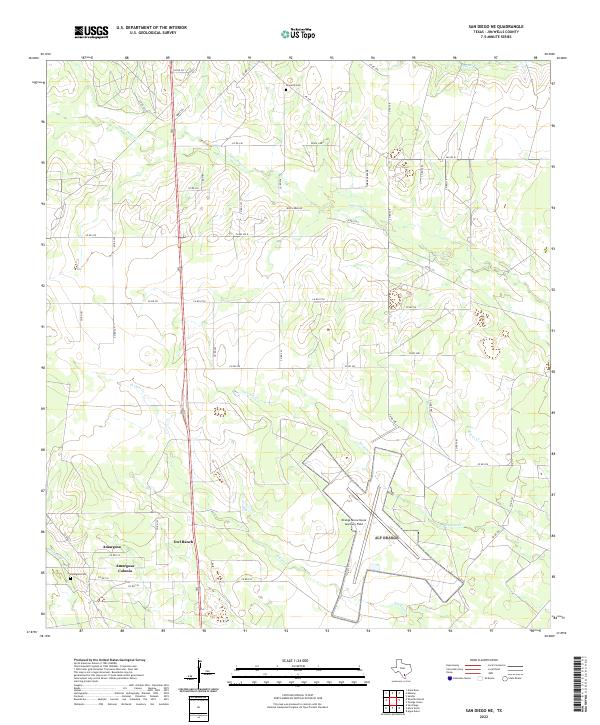
2022 San Diego NE
Jim Wells County, TX
2022 Seeligson Ranch
Jim Wells County, TX
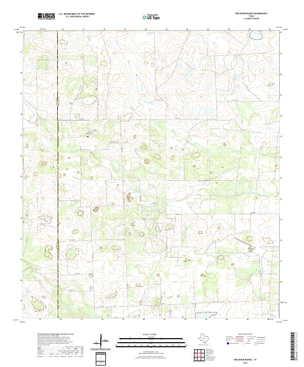
2022 Shaeffer Ranch
Jim Wells County, TX
Featured Locations
- Hodges Addition Colonia, TX
- Casa Blanca, TX
- John L Norris Colonia, TX
- Norris Tract Number 2 Colonia, TX
- Lake City, TX