
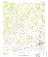
1961 Map of Nixon
USGS Topo · Published 1963About this map
Nixon sits at the intersection of industry and rural geography along the Southern Pacific railroad in the early 1960s. The landscape is defined by the winding course of Clear Fork Sandies Creek and Ecleto Creek, which segment the terrain into a patchwork of ranching and extraction. Local industry is clearly marked by several Claypits and gravel operations, pointing to the geological utility of the area.
Find a feature on this map
25 named features on this map. Tap any name to fly to it.
Don’t see what you’re looking for? This feature index may not catch every label — zoom into the map to look around manually.
Map Details
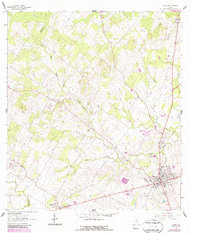
Editions of this 1961 Nixon Map
3 editions found
Other maps of this area

1920 · Smiley
USGS Topo · 1:125,000

1942 · Dewville
USGS Topo · 1:62,500

1953 · Seguin
USGS Topo · 1:250,000

1956 · Dewville
USGS Topo · 1:62,500

1958 · Seguin
USGS Topo · 1:250,000
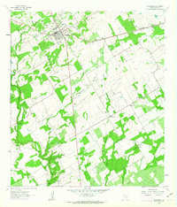
1961 · Stockdale
USGS Topo · 1:24,000
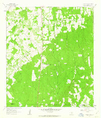
1961 · Thomas Springs
USGS Topo · 1:24,000
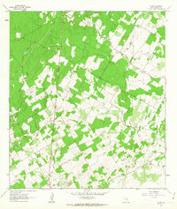
1961 · Alum
USGS Topo · 1:24,000

1961 · Gillett
USGS Topo · 1:24,000
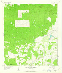
1962 · Dewville
USGS Topo · 1:24,000