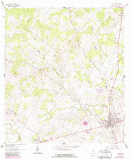
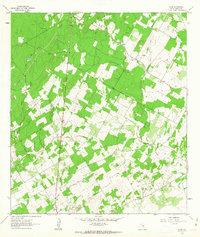
1961 Map of Nixon
USGS Topo · Published 1987About this map
Nixon sits at the crossing of the Wilson Co Gonzales Co line, serving as a hub for the surrounding ranching and agricultural lands during the early 1960s. The landscape is defined by the winding paths of Clear Fork Creek and Ecleto Creek, which drain a region dotted with rural landmarks essential to local genealogy. Small settlements like Union and Pandora are joined by an Old Railroad Grade, indicating a shift in the local transportation network as rail service gave way to roads.
Find a feature on this map
23 named features on this map. Tap any name to fly to it.
Don’t see what you’re looking for? This feature index may not catch every label — zoom into the map to look around manually.
Map Details
Editions of this 1961 Nixon Map
3 editions found
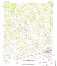
Other maps of this area

1920 · Smiley
USGS Topo · 1:125,000

1942 · Dewville
USGS Topo · 1:62,500

1953 · Seguin
USGS Topo · 1:250,000

1956 · Dewville
USGS Topo · 1:62,500

1958 · Seguin
USGS Topo · 1:250,000

1961 · Nixon
USGS Topo · 1:24,000
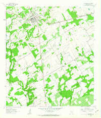
1961 · Stockdale
USGS Topo · 1:24,000
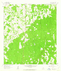
1961 · Thomas Springs
USGS Topo · 1:24,000
1961 · Alum
USGS Topo · 1:24,000

1961 · Gillett
USGS Topo · 1:24,000