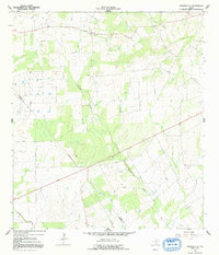
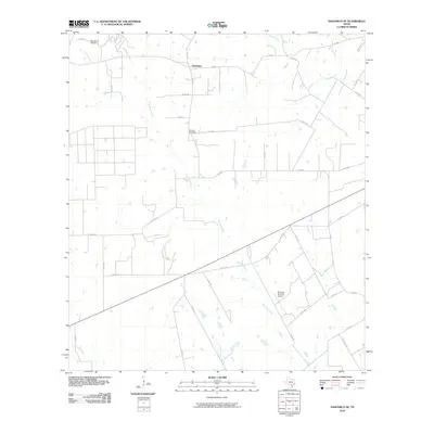
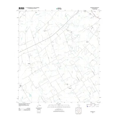
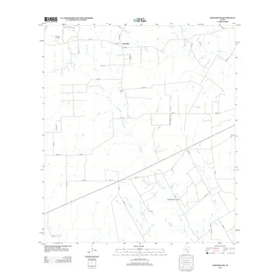
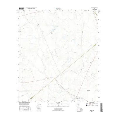
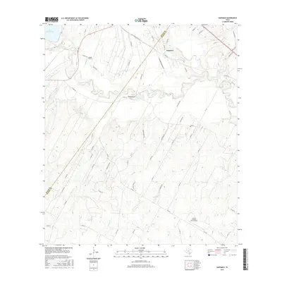
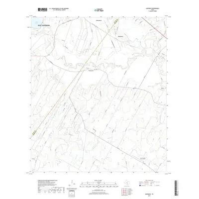
1958 Map of La Vernia SW
USGS Topo · Published 1975About this map
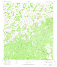
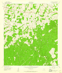
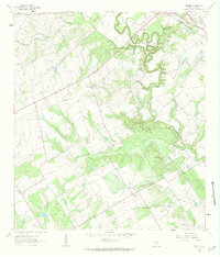
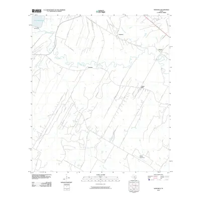
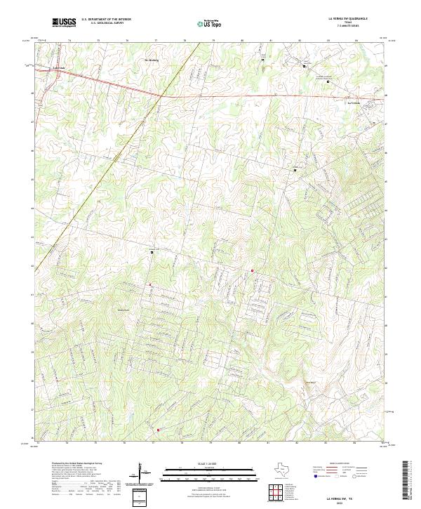
The rolling landscape of western Wilson County is defined by its rural settlement and energy development, as shown in this mid-century topographic record. The community of Lone Oak anchors the northwest corner of the sheet, while the Cooksey Oil Field indicates the subsurface industry that shaped the local economy. An Old Railroad Grade cuts through the northern section, tracing a transport path that had already transitioned from active rail to a landscape scar by the 1950s.
Find a feature on this map
16 named features on this map. Tap any name to fly to it.
Don’t see what you’re looking for? This feature index may not catch every label — zoom into the map to look around manually.
Map Details
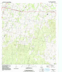
Editions of this 1958 La Vernia SW Map
2 editions found
Historical Maps of Lone Oak Through Time
49 maps found
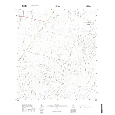
1958 La Vernia SW
Wilson County, TX
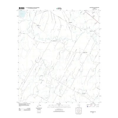
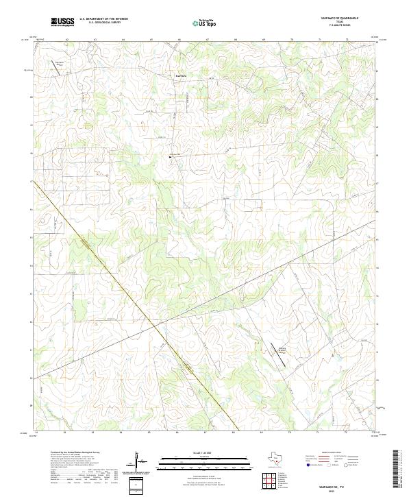
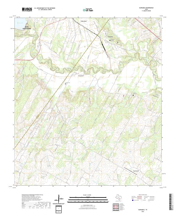
1958 Saspamco
Wilson County, TX
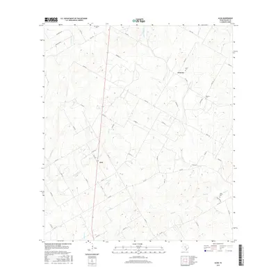
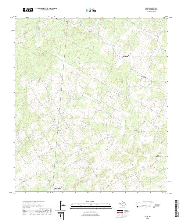
1961 Alum
Wilson County, TX
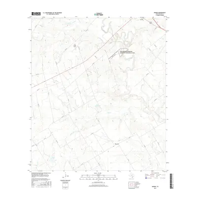
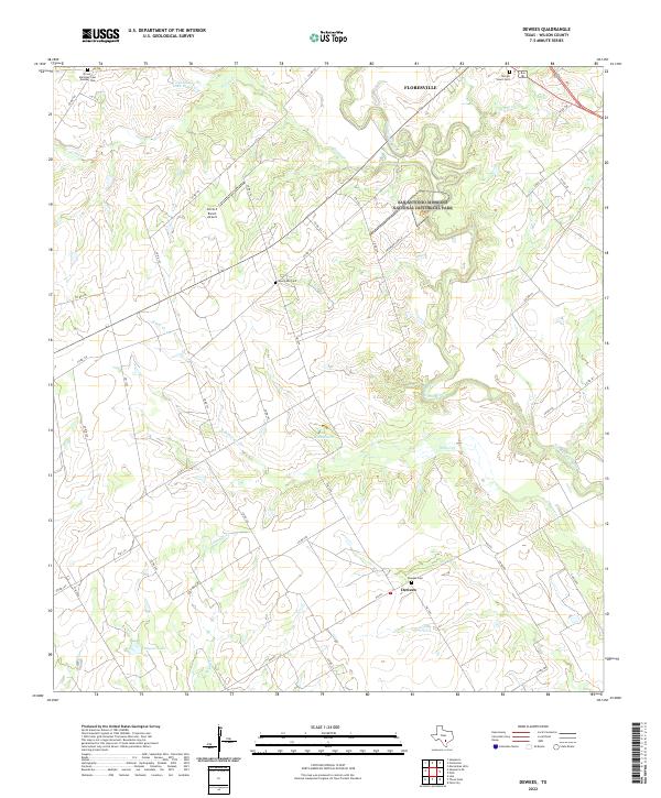
1961 Dewees
Wilson County, TX
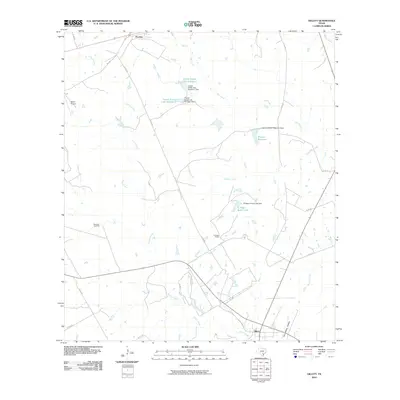
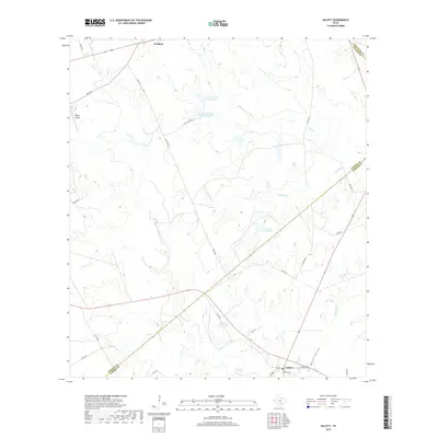
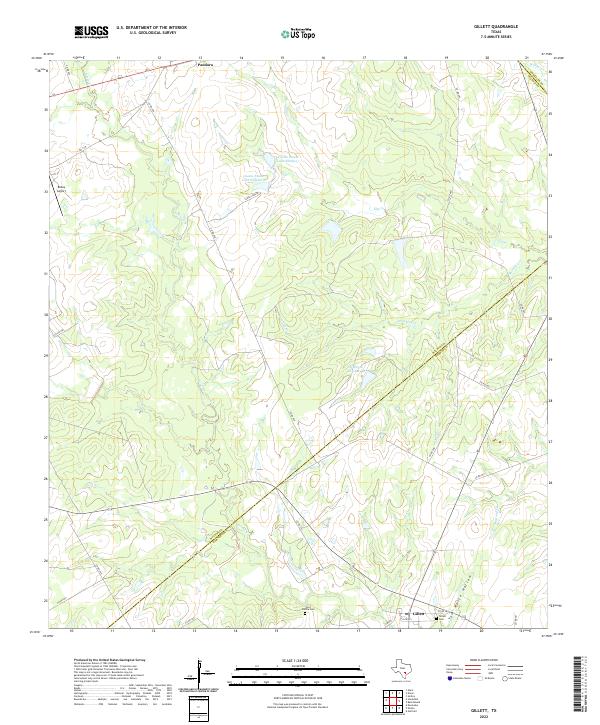
1961 Gillett
Wilson County, TX
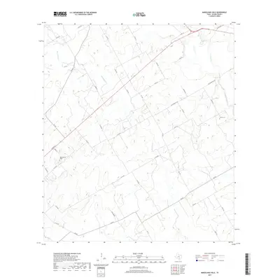
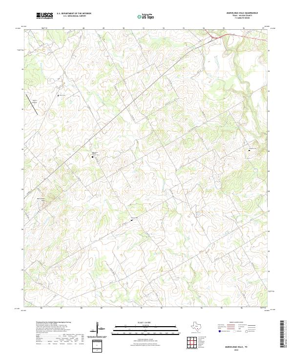
1961 Marcelinas Hills
Wilson County, TX
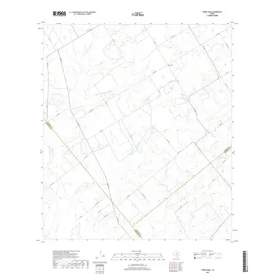
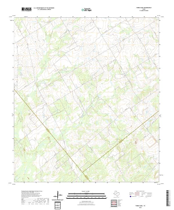
1961 Three Oaks
Wilson County, TX
1964 Saspamco SE
Wilson County, TX
1992 La Vernia SW
Wilson County, TX
2010 Alum
Wilson County, TX
2010 Dewees
Wilson County, TX
2010 Gillett
Wilson County, TX
2010 La Vernia SW
Wilson County, TX
2010 Marcelinas Hills
Wilson County, TX
2010 Saspamco SE
Wilson County, TX
2010 Saspamco
Wilson County, TX
2010 Three Oaks
Wilson County, TX
2012 Three Oaks
Wilson County, TX
2013 Alum
Wilson County, TX
2013 Dewees
Wilson County, TX
2013 Gillett
Wilson County, TX
2013 La Vernia SW
Wilson County, TX
2013 Marcelinas Hills
Wilson County, TX
2013 Saspamco SE
Wilson County, TX
2013 Saspamco
Wilson County, TX
2016 Alum
Wilson County, TX
2016 Dewees
Wilson County, TX
2016 Gillett
Wilson County, TX
2016 La Vernia SW
Wilson County, TX
2016 Marcelinas Hills
Wilson County, TX
2016 Saspamco SE
Wilson County, TX
2016 Saspamco
Wilson County, TX
2016 Three Oaks
Wilson County, TX
2019 Alum
Wilson County, TX
2019 Dewees
Wilson County, TX
2019 Gillett
Wilson County, TX
2019 La Vernia SW
Wilson County, TX
2019 Marcelinas Hills
Wilson County, TX
2019 Saspamco SE
Wilson County, TX
2019 Saspamco
Wilson County, TX
2019 Three Oaks
Wilson County, TX
2022 Alum
Wilson County, TX
2022 Dewees
Wilson County, TX
2022 Gillett
Wilson County, TX
2022 La Vernia SW
Wilson County, TX
2022 Marcelinas Hills
Wilson County, TX
2022 Saspamco SE
Wilson County, TX
2022 Saspamco
Wilson County, TX
2022 Three Oaks
Wilson County, TX