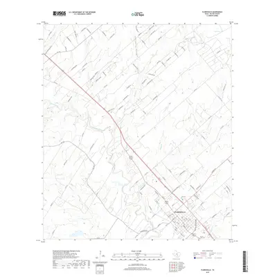
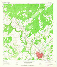
2019 Map of Floresville
USGS Topo · Published 2019About this map
Floresville serves as the focal point of this Wilson County landscape, situated along the banks of the San Antonio River. The settlement pattern shows a dense grid transitioning into rural expanses, where numerous tributaries like Kicaster Cr and Lodi Br shape the terrain. Genealogical interest is centered on the Lodi Cem and Sacred Heart Cem, which anchor the community’s historical footprint. The landscape is marked by unique natural features such as Lost Spring Hollow and the Misty Bend, while the northeast corner is characterized by the Grass Ponds. This survey provides a clear view of the roadway network, including FM 775 and Eagle Creek Ranch Blvd, which connect the outlying areas to the town center. The presence of Mariana Cr and Seguin Br further illustrates the complex drainage system feeding the primary river valley during this era.
Find a feature on this map
111 named features on this map. Tap any name to fly to it.
Don’t see what you’re looking for? This feature index may not catch every label — zoom into the map to look around manually.
Map Details
Editions of this 2019 Floresville Map
This is the sole edition of this map. No revisions or reprints were ever made.
Other maps of this area

1936 · Floresville
USGS Topo · 1:62,500

1953 · Elmendorf
USGS Topo · 1:24,000

1954 · San Antonio
USGS Topo · 1:250,000

1957 · San Antonio
USGS Topo · 1:250,000

1958 · La Vernia SW
USGS Topo · 1:24,000

1958 · Saspamco
USGS Topo · 1:24,000
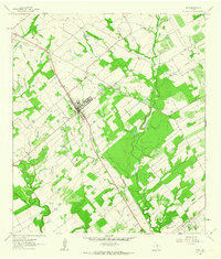
1961 · Poth
USGS Topo · 1:24,000
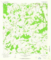
1961 · Marcelinas Hills
USGS Topo · 1:24,000
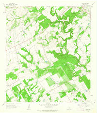
1961 · Dewees
USGS Topo · 1:24,000
1961 · Floresville
USGS Topo · 1:24,000