Loading...
Loading map...2022 Map of Floresville
USGS Topo · Published 2022About this map
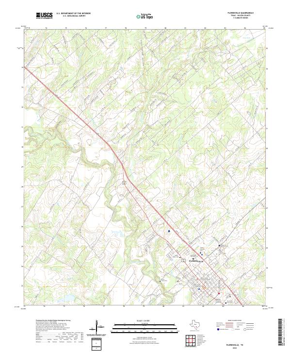
Floresville serves as the focal point of this South Texas landscape, where the San Antonio River winds past the town's historic core. The settlement pattern is defined by its deep cultural heritage, visible in the high density of family and community burial grounds such as the Canary Islanders Cem and the Garza - Valdez Cem. These sites, along with the Floresville Masonic Cem, speak to the generations of families who have shaped Wilson County.
Find a feature on this map
119 named features on this map. Tap any name to fly to it.
Don’t see what you’re looking for? This feature index may not catch every label — zoom into the map to look around manually.
Map Details
Date Portrayed2022
Date Published2022
PublisherU.S. Geological Survey
Map TypeTopographic
Scale1:24000
Physical Dimensions24 x 29 inches
Editions of this 2022 Floresville Map
This is the sole edition of this map. No revisions or reprints were ever made.
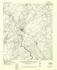
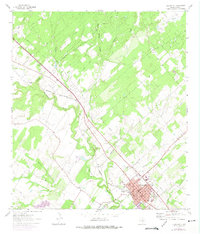
Historical Maps of Floresville Through Time
3 maps found
Featured Locations
Source Details
SourceU.S. Geological Survey
CopyrightPublic Domain