Old Maps of Riverstone at Alamo Ranch, Bexar County for Metal Detecting
Plan your next treasure hunt with 27 historic maps of Riverstone at Alamo Ranch. Find old homesites, ghost towns, trails, and gathering spots that may be lost to time — perfect for identifying promising metal detecting locations.
- Locate forgotten sites: Uncover places like long-lost settlements, abandoned rail lines, or gathering spots.
- Plan better hunts: Use map overlays combined with LiDAR or satellite views to narrow in on historically rich areas.
- Made for detectorists: Thousands of hobbyists use these maps to discover relics, coins, and hidden history.
Use these historic maps to boost your research and find new opportunities beneath the surface of Riverstone at Alamo Ranch.
Riverstone at Alamo Ranch, Bexar County maps
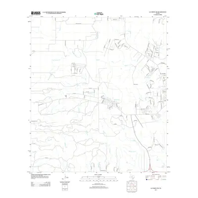
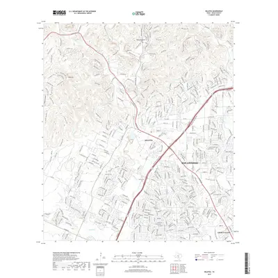
(27)- 1953 Map of Culebra Hill, 1959 Print
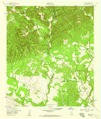
 1953 Culebra Hill1959 Print · USGSBexar County’s rural landscape and expanding military footprint are visible here in the early 1950s. Trace old routes like the Spanish Trail past the Orphanage and the grounds of Culebra Sch and Hoffman Sch.
 - 1953 Map of Helotes, 1959 Print
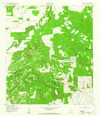
 1953 Helotes1959 Print · USGSBexar County ranching and early rural development are captured here in the early fifties before the expansion of San Antonio. Researchers can locate the Helotes Sch, Zion Ch, and family landmarks near Government Canyon and Guilbeau.
 - 1954 Map of San Antonio, 1964 Print
 1954 San Antonio1964 Print · USGSSan Antonio and the Texas Hill Country are captured here in the mid-fifties, showing a landscape defined by massive military air bases and the rising Canyon Reservoir. Trace family ties through historic rail towns like D'Hanis and Castroville or explore the Cold War footprint of Lackland AFB and Randolph AFB.3 unique versions available
 - 1957 Map of San Antonio
 1957 San Antonio1957 Print · USGSSan Antonio and the Texas Hill Country are shown here during the mid-fifties, capturing the region's expanding post-war military and transportation footprint. Genealogists and local historians can trace the early residential boundaries of Alamo Heights or locate rural landmarks like St Hedwig and Medina Lake.
 - 1958 Map of La Coste NE, 1961 Print
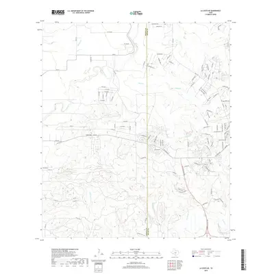
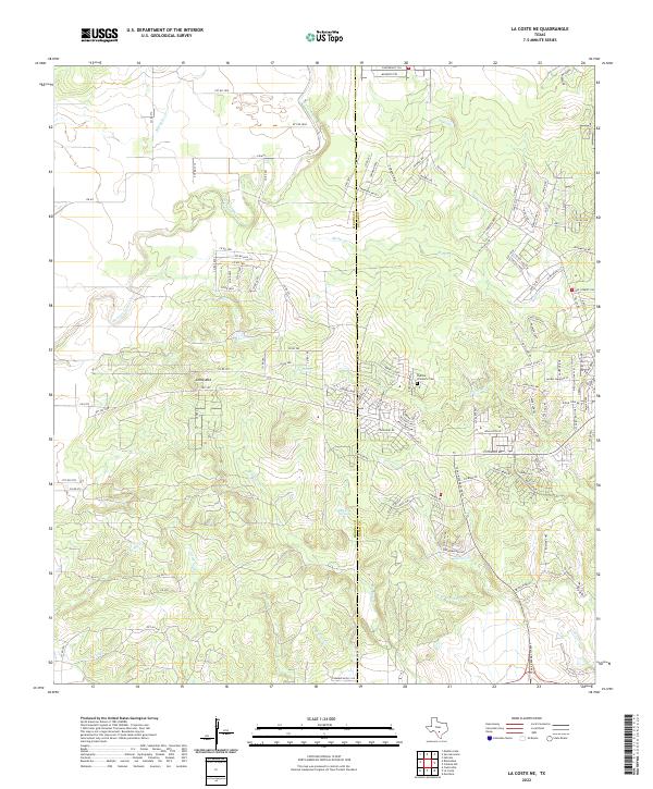
 1958 La Coste NE1961 Print · USGSMedina and Bexar Counties are captured in the late fifties, showcasing a transitional landscape of central Texas creek beds and rising hills. Local historians can trace the intricate drainages of Potranca Creek, Medio Creek, and the slopes of Loma Alta.2 unique versions available
 - 1966 Map of Culebra Hill, 1969 Print
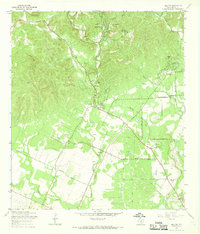
 1966 Culebra Hill1969 Print · USGSBexar County experiences rapid suburban and military growth during the late sixties. Genealogists and historians can trace the development of Lackland City and Westwood Village near the historic Sociedad Cem and Medina Base.3 unique versions available
 - 1966 Map of Helotes, 1969 Print
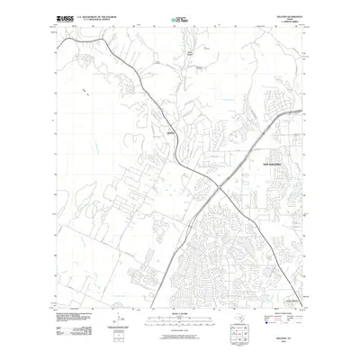
 1966 Helotes1969 Print · USGSNorthwest of San Antonio in the late sixties, this area shows a landscape of creek valleys and early residential growth. Genealogists and local historians can locate several historic burial sites like Menchaca Cem, the community at Grey Forest, and landmarks such as Zion Ch.3 unique versions available
 - 1985 Map of New Braunfels
 1985 New Braunfels1985 Print · USGSThe Texas Hill Country meets the growing San Antonio suburbs in the mid-1980s, showing a landscape of river-fed towns and military grounds. Trace family roots in historic Gruene or Boerne, and locate landmarks like Canyon Lake and Randolph Air Force Base.
 - 1985 Map of San Antonio
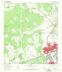
 1985 San Antonio1985 Print · USGSSan Antonio and its surrounding hill country are captured in the mid-eighties during a period of significant suburban and military expansion. Genealogists and historians can trace the footprint of Kelly Air Force Base, old rail lines like the Missouri-Kansas-Texas, and smaller communities like Saspamco or Zuehl.3 unique versions available
 - 1992 Map of New Braunfels
 1992 New Braunfels1992 Print · USGSThe San Antonio and New Braunfels corridor was expanding rapidly in the early nineties, balancing heavy military presence with Hill Country recreation. Trace the footprint of CAMP BULLIS MILITARY RESERVATION or locate old railroad stops along the Southern Pacific and Missouri Pacific lines.2 unique versions available
 - 1992 Map of Helotes
 1992 Helotes1992 Print · USGSBexar County experiences rapid suburban transformation in the early nineties as San Antonio expands toward the Hill Country. Genealogists and local historians can trace legacy burial sites like Menchaca Cem and Media Cem or the growth around the University of Texas at San Antonio.2 unique versions available
 - 1993 Map of Culebra Hill
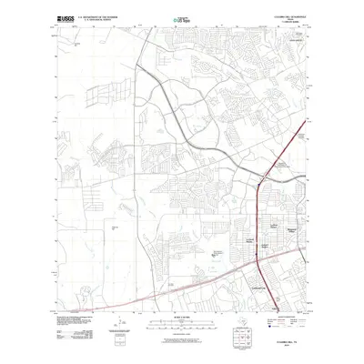
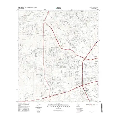
 1993 Culebra Hill1993 Print · USGSWestern Bexar County sees rapid suburban and military expansion during the early nineties. Genealogists and historians can trace the development of Lackland City and Leon Valley or locate the Sociedad Cem and Culebra Hill.2 unique versions available
 - 2010 Map of La Coste NE, 2010 Print
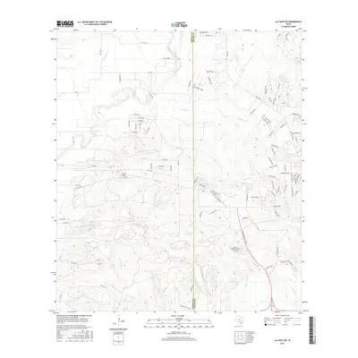
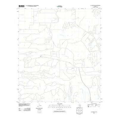 2010 La Coste NE2010 Print · USGSCovers Riverstone at Alamo Ranch, including Bexar County, Medina County, and other nearby areas
 - 2010 Map of Helotes, 2010 Print
 2010 Helotes2010 Print · USGSCovers Riverstone at Alamo Ranch, including San Antonio, Leon Valley, and other nearby areas
 - 2010 Map of Culebra Hill, 2010 Print
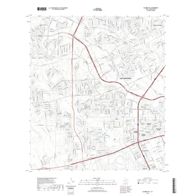
 2010 Culebra Hill2010 Print · USGSCovers Riverstone at Alamo Ranch, including San Antonio, Leon Valley, and other nearby areas
 - 2013 Map of La Coste NE, 2013 Print
 2013 La Coste NE2013 Print · USGSCovers Riverstone at Alamo Ranch, including Bexar County, Medina County, and other nearby areas
 - 2013 Map of Helotes, 2013 Print
 2013 Helotes2013 Print · USGSCovers Riverstone at Alamo Ranch, including San Antonio, Leon Valley, and other nearby areas
 - 2013 Map of Culebra Hill, 2013 Print
 2013 Culebra Hill2013 Print · USGSCovers Riverstone at Alamo Ranch, including San Antonio, Leon Valley, and other nearby areas
 - 2016 Map of Helotes, 2016 Print
 2016 Helotes2016 Print · USGSCovers Riverstone at Alamo Ranch, including San Antonio, Leon Valley, and other nearby areas
 - 2016 Map of La Coste NE, 2016 Print
 2016 La Coste NE2016 Print · USGSCovers Riverstone at Alamo Ranch, including Bexar County, Medina County, and other nearby areas
 - 2016 Map of Culebra Hill, 2016 Print
 2016 Culebra Hill2016 Print · USGSCovers Riverstone at Alamo Ranch, including San Antonio, Leon Valley, and other nearby areas
 - 2019 Map of Culebra Hill, 2019 Print
 2019 Culebra Hill2019 Print · USGSCovers Riverstone at Alamo Ranch, including San Antonio, Leon Valley, and other nearby areas
 - 2019 Map of La Coste NE, 2019 Print
 2019 La Coste NE2019 Print · USGSCovers Riverstone at Alamo Ranch, including Bexar County, Medina County, and other nearby areas
 - 2019 Map of Helotes, 2019 Print
 2019 Helotes2019 Print · USGSCovers Riverstone at Alamo Ranch, including San Antonio, Leon Valley, and other nearby areas
 - 2022 Map of La Coste NE, 2022 Print
 2022 La Coste NE2022 Print · USGSThe Medina and Bexar county line area comes into focus here during the early 2020s, showing a landscape of deep creek beds and rising hills. Researchers can trace the Padilla - Zimmerle Cem and water sources like San Lucas Springs and Medio Cr.
Showing maps 1-25 of 27
Frequently asked questions
- What are the different types of historical maps available for Riverstone at Alamo Ranch?
- What is the oldest map of Riverstone at Alamo Ranch?
- Where can I purchase historical maps of Riverstone at Alamo Ranch for my home or office?
- Where can I download high-res historical maps of Riverstone at Alamo Ranch?
- Are there historical topographic maps available for Riverstone at Alamo Ranch?
- Is there historical aerial imagery available for Riverstone at Alamo Ranch?
- Where are historical maps of Riverstone at Alamo Ranch sourced from?