Old Maps of Boston, New Boston for Hiking & Exploration
Hike through history with 12 historic maps of Boston. Explore old trails, ghost towns, and forgotten backroads — perfect for outdoor adventurers and local explorers.
- Rediscover forgotten places: Map out old mining camps, roads, and footpaths that no longer exist on modern maps.
- Layer with modern tools: Combine with LiDAR or satellite views to plan hikes through historical terrain.
- Made for exploration: Popular among hikers, overlanders, and local history lovers.
Use these maps to find adventure and explore the hidden past of Boston.
Boston, New Boston maps
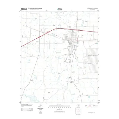
(12)- 1909 Map of New Boston
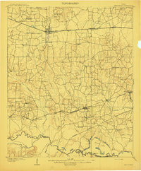 1909 New Boston1909 Print · USGSBowie County at the dawn of the twentieth century was a landscape shaped by competing railroads and the winding Sulphur River. Genealogists and local historians can locate early landmarks like Boston, Chalybeate School, and the historic Bigham Ferry crossing.2 unique versions available
 - 1953 Map of Texarkana, 1964 Print
 1953 Texarkana1964 Print · USGSThe Texas-Arkansas borderlands are captured here in the mid-fifties, during a decade of massive military and hydraulic engineering projects. Genealogists and researchers can locate family landmarks like Old Boston Cem, Siloam Ch, and the vast Red River Arsenal.4 unique versions available
 - 1954 Map of New Boston, 1955 Print
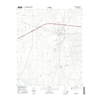
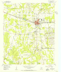 1954 New Boston1955 Print · USGSNew Boston and the Red River Arsenal area are captured here in the mid-fifties, showing the intersection of military expansion and rural life. Trace the former county seat at Boston, the Bowie County Courthouse, and old sites like Antioch Ch.4 unique versions available
 - 1955 Map of New Boston, 1960 Print
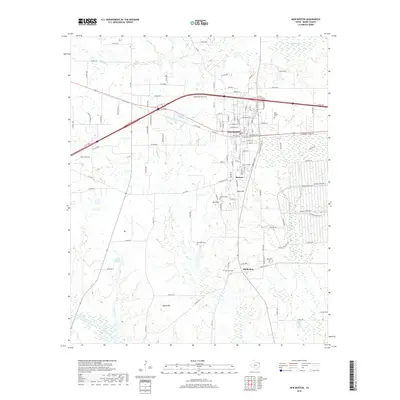
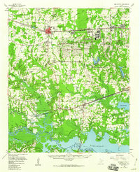 1955 New Boston1960 Print · USGSBowie County in the mid-1950s is defined by the massive footprint of the Red River Arsenal and the burgeoning waters of Lake Texarkana. Researchers can trace the migration of local centers from Old Boston to New Boston while locating family landmarks like Red Bayou Cem and Magnolia Ch.
 - 1956 Map of Texarkana
 1956 Texarkana1956 Print · USGSThe Ark-La-Tex borderlands come alive in the mid-fifties, showing the transition from a rail-dependent rural economy to a post-war industrial landscape. Researchers can trace the massive Red River Ordnance Depot and find towns like Talco, Bogata, and Naples.
 - 1986 Map of Texarkana
 1986 Texarkana1986 Print · USGSThe Texas-Arkansas borderlands are captured here in the mid-eighties as a hub of military industry and river-basin geography. Genealogists and local historians can locate rural landmarks like Red Hill Cem, Coopers Chapel, and the Lone Star Army Ammunition Plant.
 - 1992 Map of Texarkana
 1992 Texarkana1992 Print · USGSThe Ark-La-Tex border region comes into focus in the early nineties, centered on the sprawling waters of Wright Patman Lake. Genealogists and historians can trace rail-town development and rural roots through Old Union Cem, the Red River Army Depot, and Dalby Springs Cem.
 - 2010 Map of New Boston, 2010 Print
 2010 New Boston2010 Print · USGSCovers Boston, including New Boston, Old Boston, and other nearby areas
 - 2012 Map of New Boston, 2012 Print
 2012 New Boston2012 Print · USGSCovers Boston, including New Boston, Old Boston, and other nearby areas
 - 2016 Map of New Boston, 2016 Print
 2016 New Boston2016 Print · USGSCovers Boston, including New Boston, Old Boston, and other nearby areas
 - 2019 Map of New Boston, 2019 Print
 2019 New Boston2019 Print · USGSCovers Boston, including New Boston, Old Boston, and other nearby areas
 - 2022 Map of New Boston, 2022 Print
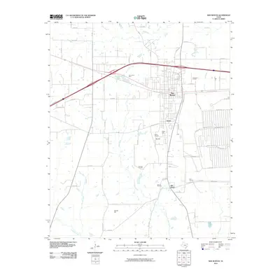
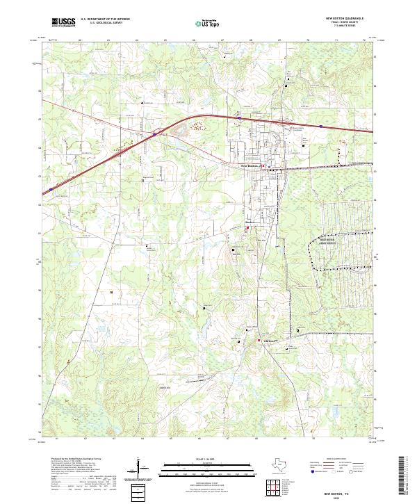 2022 New Boston2022 Print · USGSBowie County in the early 2020s shows a fascinating transition between the established centers of New Boston and the older roots of Old Boston. Researchers can trace local lineage through a high density of rural burial grounds like Antioch Cem and find landmarks such as the Bowie County Courthouse.
End of results
Showing maps 1-12 of 12
Top cities near Boston
- New Boston historical maps
- Hooks historical maps
- De Kalb historical maps
- Maud historical maps
- Redwater historical maps
- Leary historical maps
Frequently asked questions
- What are the different types of historical maps available for Boston?
- What is the oldest map of Boston?
- Where can I purchase historical maps of Boston for my home or office?
- Where can I download high-res historical maps of Boston?
- Are there historical topographic maps available for Boston?
- Is there historical aerial imagery available for Boston?
- Where are historical maps of Boston sourced from?