Old Maps of Millican, Texas for Academic Research
Study the evolution of Millican with 10 high-resolution historic maps. Whether you're teaching, researching, or modeling changes in land use, these maps provide essential visual documentation of urban, environmental, and geographic change.
- Analyze long-term change: Track patterns in development, transportation, and natural features.
- Ideal for environmental or urban studies: Support academic projects with primary historical map data.
- Use in the classroom or lab: Educators and researchers rely on these maps to bring historical context to life.
These maps are a powerful tool for teaching, research, and visualizing how Millican has changed over the decades.
Millican, TX maps
(10)- 1913 Map of Millican
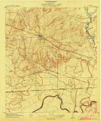 1913 Millican1913 Print · USGSBrazos County at the beginning of the twentieth century was a critical rail junction defined by large-scale valley farming and the winding river border. Researchers can trace historic riverfront operations and rail stops including Millican, Hidalgo Falls, and the Steele Farm.3 unique versions available
 - 1914 Map of Navasota
 1914 Navasota1914 Print · USGSBefore the modernization of the Brazos valley, this 1910s era survey captures the thriving rail-and-river economy of Grimes and Washington counties. Genealogists can trace early homesteads and community hubs like Wilsons Gin, Prairie Church, and Grange Hall School.2 unique versions available
 - 1954 Map of Austin, 1964 Print
 1954 Austin1964 Print · USGSCentral Texas is captured during a period of steady growth as the capital city and its neighboring farm towns began to modernize. Researchers can trace historic rail corridors like the Southern Pacific RR or locate landmarks such as Bergstrom Air Force Base and Pilot Knob.4 unique versions available
 - 1959 Map of Millican, 1960 Print
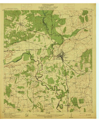
 1959 Millican1960 Print · USGSThe Brazos Valley in the late fifties was a crossroads of major rail lines and river commerce. Genealogists and historians can trace the development of rail-side settlements like Millican and Allenfarm, or locate rural landmarks such as Brooks Chapel and Hidalgo Falls.4 unique versions available
 - 1993 Map of Brenham
 1993 Brenham1993 Print · USGSTexas river country and the birthplace of the republic are showcased in the early nineties, centered on the confluence of the Brazos and Navasota. Researchers can trace the rail sidings of the Southern Pacific RR and locate historic community landmarks like St Paul Ch and Washington-on-the-Brazos State Park.
 - 2010 Map of Millican, 2010 Print
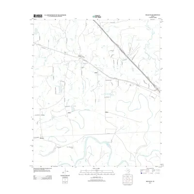
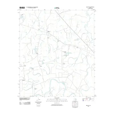 2010 Millican2010 Print · USGSCovers Millican, including Cawthon, Dallam, and other nearby areas
 - 2013 Map of Millican, 2013 Print
 2013 Millican2013 Print · USGSCovers Millican, including Cawthon, Dallam, and other nearby areas
 - 2016 Map of Millican, 2016 Print
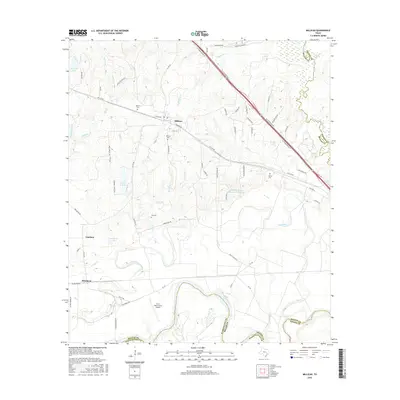 2016 Millican2016 Print · USGSCovers Millican, including Cawthon, Dallam, and other nearby areas
 - 2019 Map of Millican, 2019 Print
 2019 Millican2019 Print · USGSCovers Millican, including Cawthon, Dallam, and other nearby areas
 - 2022 Map of Millican, 2022 Print
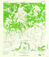
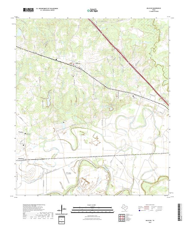 2022 Millican2022 Print · USGSIn the river bottoms of Brazos County, this modern survey shows the historic cotton-shipping hub of Millican and the rural community of Allenfarm. Genealogists and historians can trace family burial sites like Bethel Grove Church Cem and landmarks such as Hidalgo Falls along the river.
End of results
Showing maps 1-10 of 10
Top cities near Millican
- College Station historical maps
- Bryan historical maps
- Navasota historical maps
- Anderson historical maps
Frequently asked questions
- What are the different types of historical maps available for Millican?
- What is the oldest map of Millican?
- Where can I purchase historical maps of Millican for my home or office?
- Where can I download high-res historical maps of Millican?
- Are there historical topographic maps available for Millican?
- Is there historical aerial imagery available for Millican?
- Where are historical maps of Millican sourced from?