Old Maps of Lenox, Texas for Metal Detecting
Plan your next treasure hunt with 12 historic maps of Lenox. Find old homesites, ghost towns, trails, and gathering spots that may be lost to time — perfect for identifying promising metal detecting locations.
- Locate forgotten sites: Uncover places like long-lost settlements, abandoned rail lines, or gathering spots.
- Plan better hunts: Use map overlays combined with LiDAR or satellite views to narrow in on historically rich areas.
- Made for detectorists: Thousands of hobbyists use these maps to discover relics, coins, and hidden history.
Use these historic maps to boost your research and find new opportunities beneath the surface of Lenox.
Lenox, TX maps
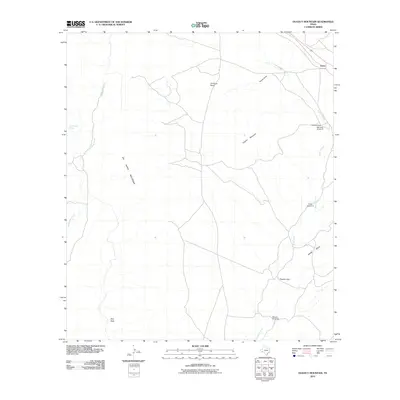
(12)- 1920 Map of Monument Spring, 1960 Print
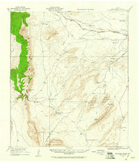 1920 Monument Spring1960 Print · USGSBrewster County was a rugged frontier of cattle ranches and rail stops following the first World War. Trace the early settlement of Marathon and the legendary Old Fort Pena Colorada, or locate family landmarks like Combs Headquarters Ranch.
 - 1921 Map of Monument Spring
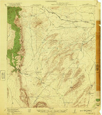 1921 Monument Spring1921 Print · USGSThe Brewster County ranching country of the early twenties is mapped here as it transition from frontier outposts to a rail-connected cattle economy. Researchers can trace family-named lands like Hargus Ranch and Decie Ranch or the grounds of Old Fort Pena Colorada.4 unique versions available
 - 1954 Map of Fort Stockton, 1965 Print
 1954 Fort Stockton1965 Print · USGSWest Texas ranching and the early energy industry converge in this mid-century survey of the Trans-Pecos. Genealogists and historians can locate specific family lands like Graef Brothers Ranch and trace the paths of the Old Spanish Trail and the Southern Pacific railroad.3 unique versions available
 - 1958 Map of Fort Stockton
 1958 Fort Stockton1958 Print · USGSThe Trans-Pecos region of West Texas in the late fifties is a landscape of vast mesas and isolated ranching hubs. Genealogists and historians can trace the paths of the Texas and New Orleans RR through Alpine or locate early settlements like Bakersfield and Sanderson.
 - 1973 Map of Fort Stockton, 1974 Print
 1973 Fort Stockton1974 Print · USGSThe Trans-Pecos region of West Texas comes alive in the early seventies, from the desert flats of the Stockton Plateau to the heights of the Davis Mountains. Researchers can trace the legacy of frontier outposts and rail lines through Fort Davis Nat Hist Site, Alpine, and the Southern Pacific RR.
 - 1983 Map of Dugout Mountain, 1984 Print
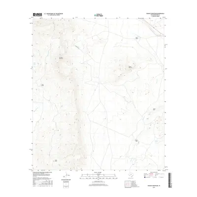
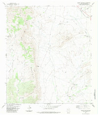 1983 Dugout Mountain1984 Print · USGSThe high desert of Brewster County is captured here in the early eighties, showcasing the rail-dependent settlement of Lenox. Researchers can trace the legacy of West Texas ranching through isolated water points like Twin China Well, Billy Trap Windmill, and Emilio Spring.
 - 1985 Map of Alpine
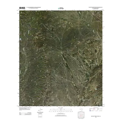
 1985 Alpine1985 Print · USGSWest Texas ranching and rail life are documented here in the mid-1980s as the region centers on Alpine. Trace the iron paths of the Southern Pacific and Atchison Topeka and Santa Fe through settlements like Marathon and Altuda.2 unique versions available
 - 2010 Map of Dugout Mountain, 2010 Print
 2010 Dugout Mountain2010 Print · USGSCovers Lenox, including Brewster County, United States, and other nearby areas
 - 2012 Map of Dugout Mountain, 2012 Print
 2012 Dugout Mountain2012 Print · USGSCovers Lenox, including Brewster County, United States, and other nearby areas
 - 2016 Map of Dugout Mountain, 2016 Print
 2016 Dugout Mountain2016 Print · USGSCovers Lenox, including Brewster County, United States, and other nearby areas
 - 2019 Map of Dugout Mountain, 2019 Print
 2019 Dugout Mountain2019 Print · USGSCovers Lenox, including Brewster County, United States, and other nearby areas
 - 2022 Map of Dugout Mountain, 2022 Print
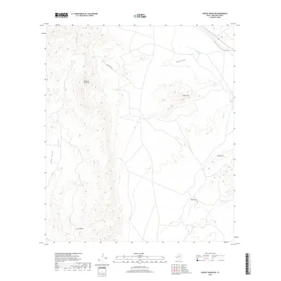
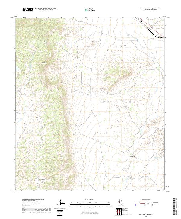 2022 Dugout Mountain2022 Print · USGSBrewster County’s high desert terrain is captured here in the early twenty-first century, showing a landscape defined by ranching routes and water sources. Researchers can trace the path of Arnold Ranch Rd through the Del Norte Mountains to vital points like Chalk Valley Spring.
End of results
Showing maps 1-12 of 12
Top cities near Lenox
Frequently asked questions
- What are the different types of historical maps available for Lenox?
- What is the oldest map of Lenox?
- Where can I purchase historical maps of Lenox for my home or office?
- Where can I download high-res historical maps of Lenox?
- Are there historical topographic maps available for Lenox?
- Is there historical aerial imagery available for Lenox?
- Where are historical maps of Lenox sourced from?