Old Maps of Maxon (Aband), Texas for Genealogy
Trace your family roots with 11 historic maps of Maxon (Aband). These high-res maps reveal old neighborhoods, homesites, landmarks, and streets — helping you uncover where your ancestors lived and how the area evolved over time.
- Explore historic neighborhoods: Identify where your relatives may have lived in the 1800s or 1900s.
- Compare maps over time: Trace the changes in streets, buildings, and landmarks for multi-generational research.
- Perfect for genealogy & ancestry research: Used by family historians and researchers to map out lineage and migration.
These maps are an incredible resource for exploring your personal connection to Maxon (Aband)'s past.
Maxon (Aband), TX maps
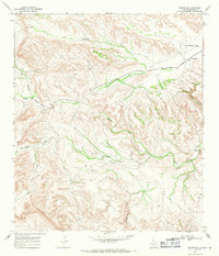
(11)- 1920 Map of Longfellow
 1920 Longfellow1920 Print · USGSRailroad outposts and high desert terrain define this West Texas survey from the early twentieth century. Genealogists and historians can trace the Southern Pacific line through stops like Purrington, Tesnus, and Rosenfeld, along with landmarks like the Pittsburg Boring.
 - 1954 Map of Fort Stockton, 1965 Print
 1954 Fort Stockton1965 Print · USGSWest Texas ranching and the early energy industry converge in this mid-century survey of the Trans-Pecos. Genealogists and historians can locate specific family lands like Graef Brothers Ranch and trace the paths of the Old Spanish Trail and the Southern Pacific railroad.3 unique versions available
 - 1958 Map of Fort Stockton
 1958 Fort Stockton1958 Print · USGSThe Trans-Pecos region of West Texas in the late fifties is a landscape of vast mesas and isolated ranching hubs. Genealogists and historians can trace the paths of the Texas and New Orleans RR through Alpine or locate early settlements like Bakersfield and Sanderson.
 - 1968 Map of Tesnus SE, 1971 Print
 1968 Tesnus SE1971 Print · USGSBrewster County in the late 1960s shows a landscape of remote rail outposts and aviation history among the desert canyons. Trace the path of the Southern Pacific railroad through Rosenfeld and locate features like Cox Landing Field and Maxon Creek.2 unique versions available
 - 1973 Map of Fort Stockton, 1974 Print
 1973 Fort Stockton1974 Print · USGSThe Trans-Pecos region of West Texas comes alive in the early seventies, from the desert flats of the Stockton Plateau to the heights of the Davis Mountains. Researchers can trace the legacy of frontier outposts and rail lines through Fort Davis Nat Hist Site, Alpine, and the Southern Pacific RR.
 - 1985 Map of Sanderson
 1985 Sanderson1985 Print · USGSWest Texas ranching and railroading are captured here in the mid-eighties as the Southern Pacific traverses the Trans-Pecos. Researchers can trace the layout of Sanderson and find isolated sites like Dryden, Tesnus, and the Glass Mountains.2 unique versions available
 - 2010 Map of Tesnus SE, 2010 Print
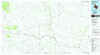
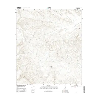
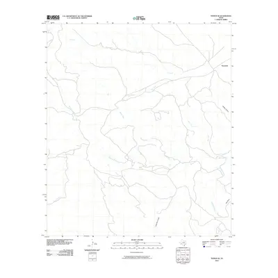 2010 Tesnus SE2010 Print · USGSCovers Maxon (Aband), including Rosenfeld, Brewster County, and other nearby areas
 - 2012 Map of Tesnus SE, 2012 Print
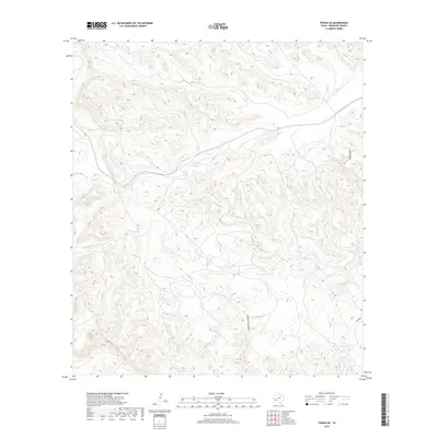
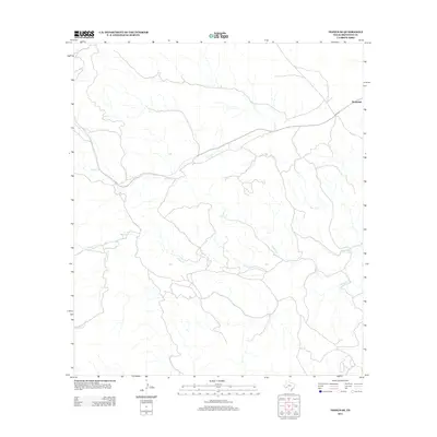 2012 Tesnus SE2012 Print · USGSCovers Maxon (Aband), including Rosenfeld, Brewster County, and other nearby areas
 - 2016 Map of Tesnus SE, 2016 Print
 2016 Tesnus SE2016 Print · USGSCovers Maxon (Aband), including Rosenfeld, Brewster County, and other nearby areas
 - 2019 Map of Tesnus SE, 2019 Print
 2019 Tesnus SE2019 Print · USGSCovers Maxon (Aband), including Rosenfeld, Brewster County, and other nearby areas
 - 2022 Map of Tesnus SE, 2022 Print
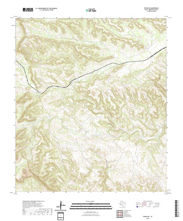 2022 Tesnus SE2022 Print · USGSBrewster County's high-desert landscape comes into focus in this recent survey of the Texas Trans-Pecos. Researchers can trace seasonal water patterns and local topography through landmarks like Coffee Pot Canyon, Tesnus, and Pumpjack Creek.
End of results
Showing maps 1-11 of 11
Frequently asked questions
- What are the different types of historical maps available for Maxon (Aband)?
- What is the oldest map of Maxon (Aband)?
- Where can I purchase historical maps of Maxon (Aband) for my home or office?
- Where can I download high-res historical maps of Maxon (Aband)?
- Are there historical topographic maps available for Maxon (Aband)?
- Is there historical aerial imagery available for Maxon (Aband)?
- Where are historical maps of Maxon (Aband) sourced from?