Old Maps of Toronto, Texas for Academic Research
Study the evolution of Toronto with 11 high-resolution historic maps. Whether you're teaching, researching, or modeling changes in land use, these maps provide essential visual documentation of urban, environmental, and geographic change.
- Analyze long-term change: Track patterns in development, transportation, and natural features.
- Ideal for environmental or urban studies: Support academic projects with primary historical map data.
- Use in the classroom or lab: Educators and researchers rely on these maps to bring historical context to life.
These maps are a powerful tool for teaching, research, and visualizing how Toronto has changed over the decades.
Toronto, TX maps
(11)- 1895 Map of Alpine
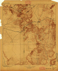 1895 Alpine1895 Print · USGSWest Texas ranching and rail life come into focus in the 1890s, centered on the growing hub of Alpine. Family historians can trace early landholdings like Greenlee Ranch and Neville Ranch alongside the vital Southern Pacific line.6 unique versions available
 - 1954 Map of Fort Stockton, 1965 Print
 1954 Fort Stockton1965 Print · USGSWest Texas ranching and the early energy industry converge in this mid-century survey of the Trans-Pecos. Genealogists and historians can locate specific family lands like Graef Brothers Ranch and trace the paths of the Old Spanish Trail and the Southern Pacific railroad.3 unique versions available
 - 1958 Map of Fort Stockton
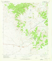
 1958 Fort Stockton1958 Print · USGSThe Trans-Pecos region of West Texas in the late fifties is a landscape of vast mesas and isolated ranching hubs. Genealogists and historians can trace the paths of the Texas and New Orleans RR through Alpine or locate early settlements like Bakersfield and Sanderson.
 - 1972 Map of Paisano, 1975 Print
 1972 Paisano1975 Print · USGSThe high desert of West Texas is captured here in the early 1970s, focused on the strategic transit corridor of the Paisano Pass. Researchers can trace the shared rail lines of the Southern Pacific and Atchison Topeka and Santa Fe and locate landmarks like the Paisano Encampment.
 - 1973 Map of Fort Stockton, 1974 Print
 1973 Fort Stockton1974 Print · USGSThe Trans-Pecos region of West Texas comes alive in the early seventies, from the desert flats of the Stockton Plateau to the heights of the Davis Mountains. Researchers can trace the legacy of frontier outposts and rail lines through Fort Davis Nat Hist Site, Alpine, and the Southern Pacific RR.
 - 1985 Map of Alpine
 1985 Alpine1985 Print · USGSWest Texas ranching and rail life are documented here in the mid-1980s as the region centers on Alpine. Trace the iron paths of the Southern Pacific and Atchison Topeka and Santa Fe through settlements like Marathon and Altuda.2 unique versions available
 - 2010 Map of Paisano, 2010 Print
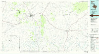
 2010 Paisano2010 Print · USGSCovers Toronto, including Presidio County, Brewster County, and other nearby areas
 - 2012 Map of Paisano, 2012 Print
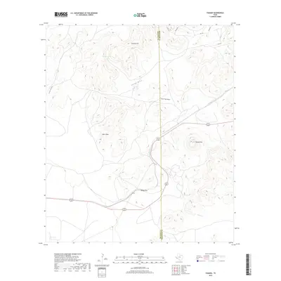
 2012 Paisano2012 Print · USGSCovers Toronto, including Presidio County, Brewster County, and other nearby areas
 - 2016 Map of Paisano, 2016 Print
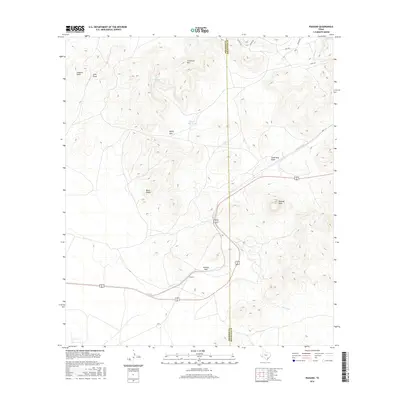 2016 Paisano2016 Print · USGSCovers Toronto, including Presidio County, Brewster County, and other nearby areas
 - 2019 Map of Paisano, 2019 Print
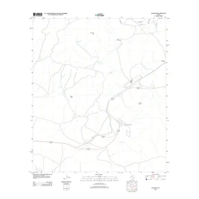
 2019 Paisano2019 Print · USGSCovers Toronto, including Presidio County, Brewster County, and other nearby areas
 - 2022 Map of Paisano, 2022 Print
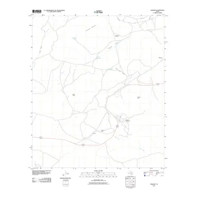
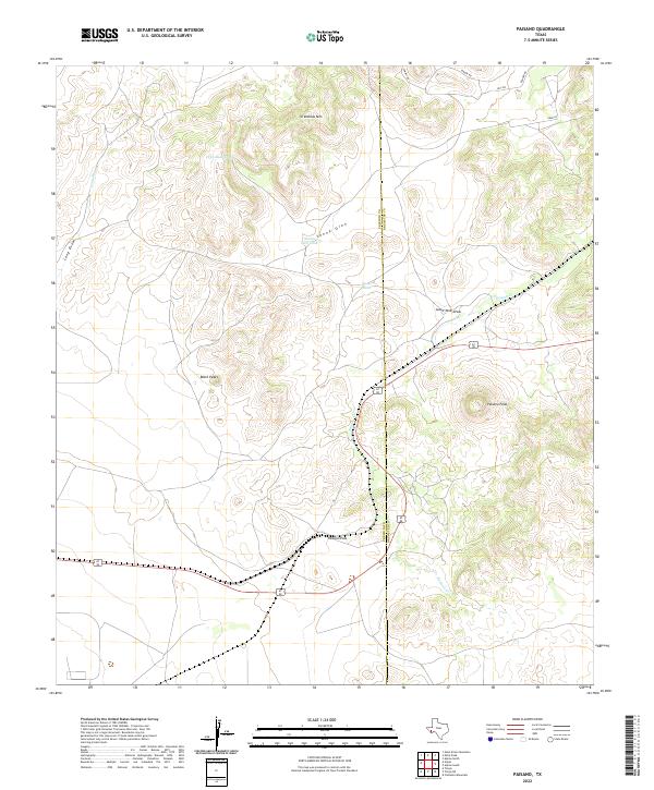 2022 Paisano2022 Print · USGSPresidio and Brewster counties meet at this high mountain pass in the twenty-first century, showing a landscape defined by transit and water. Researchers can trace the winding course of Paisano Creek and locate vital desert water sources like Sunny Glen Tank and Crenshaw Tank.
End of results
Showing maps 1-11 of 11
Top cities near Toronto
Frequently asked questions
- What are the different types of historical maps available for Toronto?
- What is the oldest map of Toronto?
- Where can I purchase historical maps of Toronto for my home or office?
- Where can I download high-res historical maps of Toronto?
- Are there historical topographic maps available for Toronto?
- Is there historical aerial imagery available for Toronto?
- Where are historical maps of Toronto sourced from?