Old Maps of Clay, Texas for Metal Detecting
Plan your next treasure hunt with 9 historic maps of Clay. Find old homesites, ghost towns, trails, and gathering spots that may be lost to time — perfect for identifying promising metal detecting locations.
- Locate forgotten sites: Uncover places like long-lost settlements, abandoned rail lines, or gathering spots.
- Plan better hunts: Use map overlays combined with LiDAR or satellite views to narrow in on historically rich areas.
- Made for detectorists: Thousands of hobbyists use these maps to discover relics, coins, and hidden history.
Use these historic maps to boost your research and find new opportunities beneath the surface of Clay.
Clay, TX maps
(9)- 1914 Map of Gay Hill
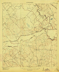 1914 Gay Hill1914 Print · USGSThe Brazos River valley in the early twentieth century shows a thriving rail-and-farm economy across three counties. Genealogists can trace family landmarks and rural school sites like Wiedes Store, Old Gay Hill, and the Allseeing Eye School.2 unique versions available
 - 1954 Map of Austin, 1964 Print
 1954 Austin1964 Print · USGSCentral Texas is captured during a period of steady growth as the capital city and its neighboring farm towns began to modernize. Researchers can trace historic rail corridors like the Southern Pacific RR or locate landmarks such as Bergstrom Air Force Base and Pilot Knob.4 unique versions available
 - 1959 Map of Clay, 1960 Print
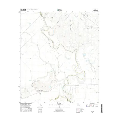
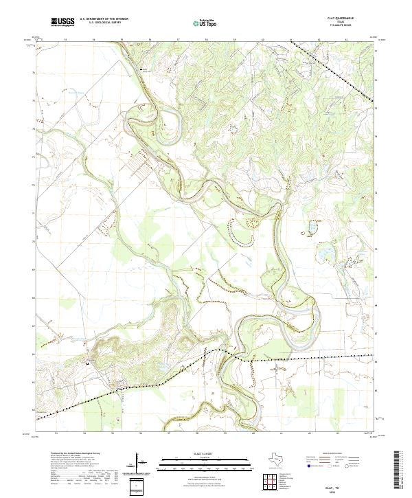
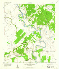 1959 Clay1960 Print · USGSNear the convergence of the Brazos and Yegua, this late-fifties survey reveals a landscape of winding river bends and vital rail junctions. Historians can trace the legacy of local settlements through Betts Ferry Cem, the rail lines of the Missouri Pacific, and the namesake Clay Pit.3 unique versions available
 - 1993 Map of Brenham
 1993 Brenham1993 Print · USGSTexas river country and the birthplace of the republic are showcased in the early nineties, centered on the confluence of the Brazos and Navasota. Researchers can trace the rail sidings of the Southern Pacific RR and locate historic community landmarks like St Paul Ch and Washington-on-the-Brazos State Park.
 - 2010 Map of Clay, 2010 Print
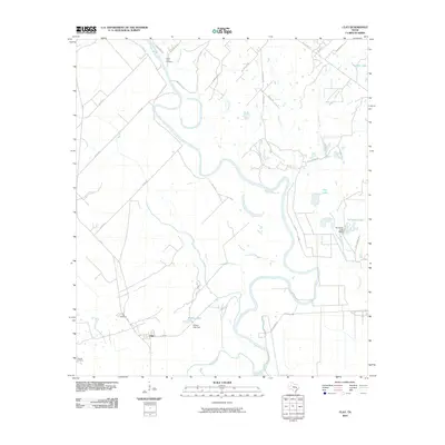 2010 Clay2010 Print · USGSCovers Clay, including Brazos County, Washington County, and other nearby areas
 - 2013 Map of Clay, 2013 Print
 2013 Clay2013 Print · USGSCovers Clay, including Brazos County, Washington County, and other nearby areas
 - 2016 Map of Clay, 2016 Print
 2016 Clay2016 Print · USGSCovers Clay, including Brazos County, Washington County, and other nearby areas
 - 2019 Map of Clay, 2019 Print
 2019 Clay2019 Print · USGSCovers Clay, including Brazos County, Washington County, and other nearby areas
 - 2022 Map of Clay, 2022 Print
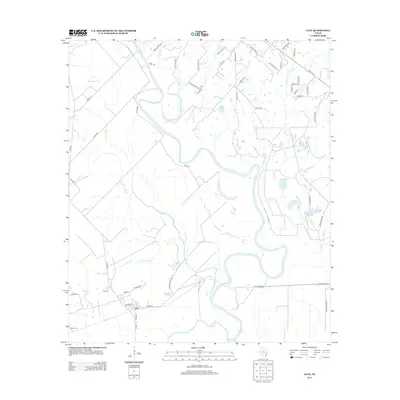
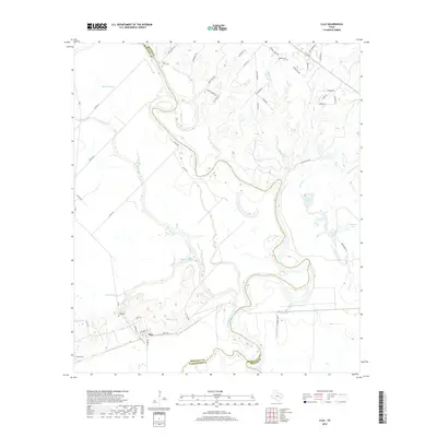
 2022 Clay2022 Print · USGSThe Brazos River valley at the Burleson and Washington county lines is captured here in recent years. Genealogists can locate Botts Ferry Cem and Clay Cem, while tracing the shifting banks of Buzzard Bayou.
End of results
Showing maps 1-9 of 9
Top cities near Clay
- College Station historical maps
- Bryan historical maps
- Brenham historical maps
- Navasota historical maps
- Somerville historical maps
- Snook historical maps
See more
Frequently asked questions
- What are the different types of historical maps available for Clay?
- What is the oldest map of Clay?
- Where can I purchase historical maps of Clay for my home or office?
- Where can I download high-res historical maps of Clay?
- Are there historical topographic maps available for Clay?
- Is there historical aerial imagery available for Clay?
- Where are historical maps of Clay sourced from?