Old Maps of Paint Rock, Texas
Explore 19 old maps of Paint Rock, spanning from 1892 to today. These high-resolution historic maps reveal how streets, neighborhoods, landmarks, and natural features evolved over time — perfect for genealogy, metal detecting, research, and local history exploration.
What you can do with these maps:
- See how Paint Rock changed over time: Compare historical maps to modern-day views to trace roads, homesites, rail lines & more.
- View detailed metadata: Each map includes creators, publishers, year, scale, and archive source.
- Overlay maps with satellite & LiDAR: Visualize the past alongside modern tools to explore terrain & human change.
- Trusted historical sources: Maps sourced from the USGS, Library of Congress, and other archives.
- Access maps your way: View online, download high-res files, or order prints for personal or research use.
Start exploring old maps of Paint Rock to uncover forgotten places, hidden landmarks, and the deep history beneath your feet.
Paint Rock, TX maps
(19)- 1892 Map of Eden
 1892 Eden1892 Print · USGSCentral Texas ranching country in the late eighteen-hundreds is defined by the early development of Eden and the surrounding rangeland. Researchers can trace historic drainage and terrain features like Salt Gap, the Brady Mountains, and Kickapoo Creek.
 - 1892 Map of Ballinger
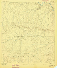
 1892 Ballinger1892 Print · USGSCentral West Texas was a landscape of budding rail towns and winding river valleys in the early 1890s. Genealogists can trace the early footprints of Ballinger and Paintrock or locate smaller vanished points like Norwood and Trap Crossing.5 unique versions available
 - 1896 Map of Eden
 1896 Eden1896 Print · USGSWest Texas ranching country was still largely open range in the late nineteenth century. Genealogists and historians can trace early land use around Eden and follow the rugged escarpment of the Brady Mountains toward Salt Gap.4 unique versions available
 - 1932 Map of Paint Rock
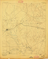
 1932 Paint Rock1932 Print · USGSThe northern edge of the Edwards Plateau comes into focus in the early 1930s as the rail lines reached into Concho County. Genealogists and historians can trace the rural school districts of the day, including Dry Ridge Sch and Mapes Sch, or locate the family-named bluffs along the Concho River.2 unique versions available
 - 1954 Map of Brownwood, 1955 Print
 1954 Brownwood1955 Print · USGSCentral Texas in the early fifties shows a landscape of rail-linked cattle towns and winding river valleys before modern highway expansion. Genealogists and historians can trace family-named peaks and vanished rail stops like Trickham, Santa Anna, and the Brady Mountains.3 unique versions available
 - 1967 Map of Paint Rock, 1969 Print
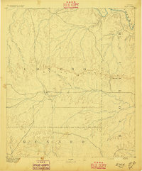
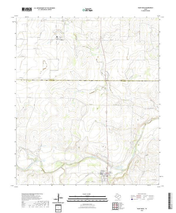
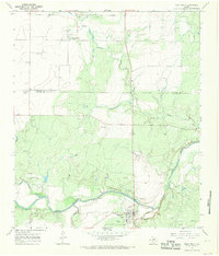 1967 Paint Rock1969 Print · USGSThe Concho River valley in the late sixties reveals a landscape of ancient history and mid-century utility at the county line. Researchers can trace the layout of Paint Rock and Olfen, or locate landmarks like the Indian Pictographs and St Boniface Ch.2 unique versions available
 - 1967 Map of Millersview NW, 1970 Print
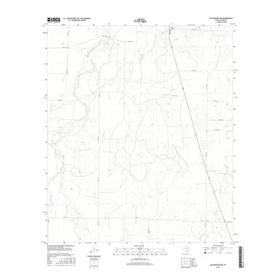
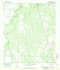 1967 Millersview NW1970 Print · USGSConcho County ranch land in the late sixties shows a landscape shaped by livestock, oil, and gravel. Local researchers can locate family burial sites like Paint Rock Cem and Kersh Grave among the waters of Kickapoo Creek.2 unique versions available
 - 1985 Map of Coleman
 1985 Coleman1985 Print · USGSCentral Texas ranching and rail country comes to life in the 1980s as the Atchison Topeka and Santa Fe line cuts through Coleman. Researchers can trace old settlements and topography from Robinson Peak to the waters of Lake Brownwood State Park.2 unique versions available
 - 1985 Map of Brady
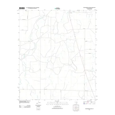
 1985 Brady1985 Print · USGSMcCulloch and Concho counties during the mid-1980s show a landscape of small ranching communities tied together by the Atchison Topeka and Santa Fe rail line. Researchers can trace rural developments like West Sweden, Pear Valley, and the waters of the Brady Reservoir.2 unique versions available
 - 2010 Map of Millersview NW, 2010 Print
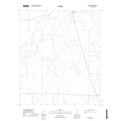
 2010 Millersview NW2010 Print · USGSCovers Paint Rock, including Concho County, United States, and other nearby areas
 - 2010 Map of Paint Rock, 2010 Print
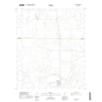
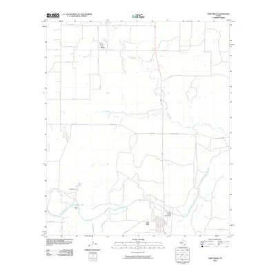 2010 Paint Rock2010 Print · USGSCovers Paint Rock, including Olfen, Concho County, and other nearby areas
 - 2012 Map of Millersview NW, 2012 Print
 2012 Millersview NW2012 Print · USGSCovers Paint Rock, including Concho County, United States, and other nearby areas
 - 2013 Map of Paint Rock, 2013 Print
 2013 Paint Rock2013 Print · USGSCovers Paint Rock, including Olfen, Concho County, and other nearby areas
 - 2016 Map of Millersview NW, 2016 Print
 2016 Millersview NW2016 Print · USGSCovers Paint Rock, including Concho County, United States, and other nearby areas
 - 2016 Map of Paint Rock, 2016 Print
 2016 Paint Rock2016 Print · USGSCovers Paint Rock, including Olfen, Concho County, and other nearby areas
 - 2019 Map of Millersview NW, 2019 Print
 2019 Millersview NW2019 Print · USGSCovers Paint Rock, including Concho County, United States, and other nearby areas
 - 2019 Map of Paint Rock, 2019 Print
 2019 Paint Rock2019 Print · USGSCovers Paint Rock, including Olfen, Concho County, and other nearby areas
 - 2022 Map of Paint Rock, 2022 Print
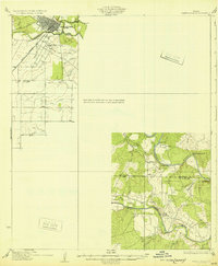
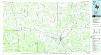
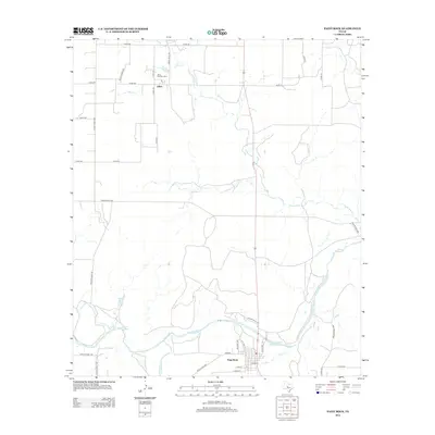
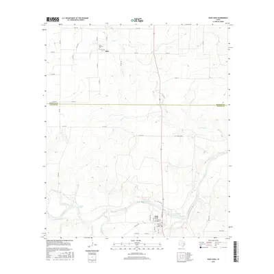
 2022 Paint Rock2022 Print · USGSPaint Rock and the surrounding West Texas plains are captured here in the early twenty-first century as the Concho River winds through the ranching country. Researchers can locate the Concho County Courthouse in town or trace family sites near Olfen and Saint Boniface Cem.
 - 2022 Map of Millersview NW, 2022 Print
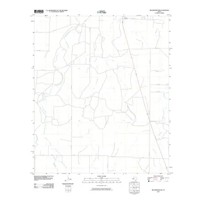
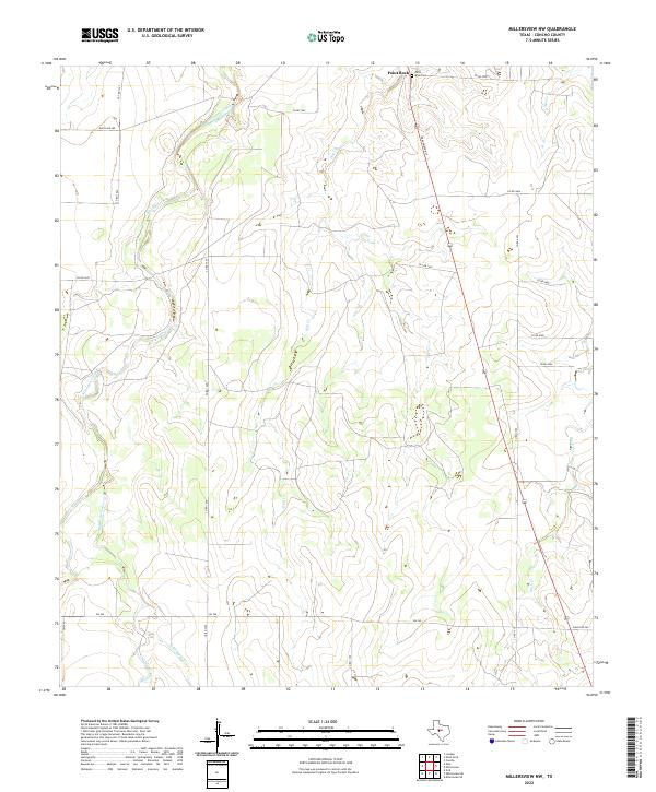 2022 Millersview NW2022 Print · USGSConcho County at the start of the 2020s shows a landscape still centered on its traditional watercourses and ranching routes. Researchers can trace family history at the Paint Rock Cem or follow the drainage of Kickapoo Creek and Hog Cr through the brush country.
End of results
Showing maps 1-19 of 19
Top cities near Paint Rock
Frequently asked questions
- What are the different types of historical maps available for Paint Rock?
- What is the oldest map of Paint Rock?
- Where can I purchase historical maps of Paint Rock for my home or office?
- Where can I download high-res historical maps of Paint Rock?
- Are there historical topographic maps available for Paint Rock?
- Is there historical aerial imagery available for Paint Rock?
- Where are historical maps of Paint Rock sourced from?