Old Maps of Lancaster, Texas
Explore 25 old maps of Lancaster, spanning from 1891 to today. These high-resolution historic maps reveal how streets, neighborhoods, landmarks, and natural features evolved over time — perfect for genealogy, metal detecting, research, and local history exploration.
What you can do with these maps:
- See how Lancaster changed over time: Compare historical maps to modern-day views to trace roads, homesites, rail lines & more.
- View detailed metadata: Each map includes creators, publishers, year, scale, and archive source.
- Overlay maps with satellite & LiDAR: Visualize the past alongside modern tools to explore terrain & human change.
- Trusted historical sources: Maps sourced from the USGS, Library of Congress, and other archives.
- Access maps your way: View online, download high-res files, or order prints for personal or research use.
Start exploring old maps of Lancaster to uncover forgotten places, hidden landmarks, and the deep history beneath your feet.
Lancaster, TX maps
(25)- 1891 Map of Dallas
 1891 Dallas1891 Print · USGSThe Dallas area during the late nineteenth century was a rapidly growing rail hub still defined by its river crossings and rural outposts. Genealogists and historians can trace the foundations of the metroplex through early landmarks like Oak Cliff, Doddy's Ferry, and Haughts Store.
 - 1893 Map of Dallas
 1893 Dallas1893 Print · USGSDallas was a rising railroad power in the 1890s, when iron rails and river crossings dictated the growth of North Texas. Genealogists can locate vanished landmarks and rural hubs like Oak Cliff, Doddy's Ferry, and Haught's Store before the city's modern sprawl.5 unique versions available
 - 1954 Map of Dallas, 1963 Print
 1954 Dallas1963 Print · USGSNorth Texas in the mid-fifties and early sixties reveals a landscape of rapid urban growth and water management. Genealogists and historians can trace the evolution of the metroplex through landmarks like Hensley Field, Boles Orphan Home, and the Texas & Pacific RR.4 unique versions available
 - 1958 Map of Dallas
 1958 Dallas1958 Print · USGSNorth Texas in the late fifties shows the dramatic expansion of the Metroplex as it absorbs surrounding farm towns. Genealogists and historians can trace old rail lines like the Missouri-Kansas-Texas and locate early lakefront developments at Eagle Mountain Lake and Lake Worth Village.
 - 1958 Map of Oak Cliff, 1959 Print
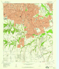 1958 Oak Cliff1959 Print · USGSIn the late 1950s, Oak Cliff and South Dallas were undergoing rapid suburbanization around the Trinity River bottomlands. Researchers can trace mid-century institutional growth at the Veterans Hospital or locate historic family plots at Lisbon Cem and Wheatland Cem.5 unique versions available
 - 1959 Map of Lancaster, 1960 Print
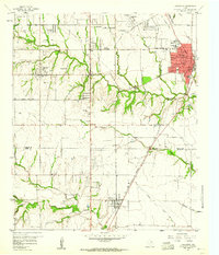 1959 Lancaster1960 Print · USGSSouthern Dallas County and northern Ellis County are shown here in the late fifties, as traditional farming communities began to expand. You can locate family history at Rawlins Cem, trace the Missouri Kansas Texas Railroad corridor, and find old landmarks like Camp Pinkston or Beckley City Chapel.5 unique versions available
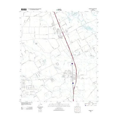
 - 1959 Map of Ferris, 1960 Print
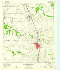 1959 Ferris1960 Print · USGSThe northern Ellis County borderlands and southern Dallas County come alive in the late fifties, showing the rail-centered growth of Ferris and Wilmer. Researchers can trace old family sites near Bluff Springs Cemetery or the Dunbar High School.3 unique versions available
 - 1959 Map of Seagoville, 1962 Print
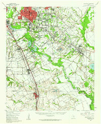 1959 Seagoville1962 Print · USGSSoutheast of Dallas in the late fifties, the Trinity River valley served as a busy corridor of railroads and growing townships. Trace family roots at Sand Branch Cem, locate the Hutchins Boys Industrial Sch, and explore the winding Parsons Slough.
 - 1986 Map of Dallas
 1986 Dallas1986 Print · USGSThe North Texas metropolitan landscape comes into focus during the mid-eighties as urban growth expands toward the eastern reservoirs. Researchers can trace historic cemeteries like Oak Cliff Cem, rail corridors of the Texas & Pacific RR, and landmarks such as Southern Methodist University.3 unique versions available
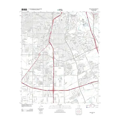
 - 1995 Map of Oak Cliff, 2001 Print
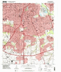 1995 Oak Cliff2001 Print · USGSDallas in the mid-1990s reveals a suburban landscape reaching its southern limits near the Lancaster border. Genealogists and researchers can trace local landmarks like Laurel Land Memorial Park (Cemetery), the historic Fruitdale area, and the former grounds of the Former Strip Mine.
 - 2010 Map of Lancaster, 2010 Print
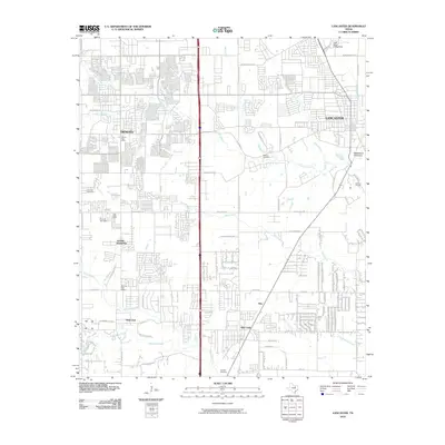 2010 Lancaster2010 Print · USGSCovers Lancaster, including Dallas, De Soto, and other nearby areas
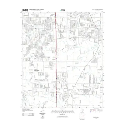
 - 2010 Map of Ferris, 2010 Print
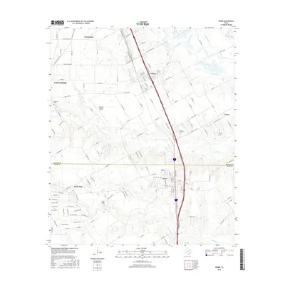
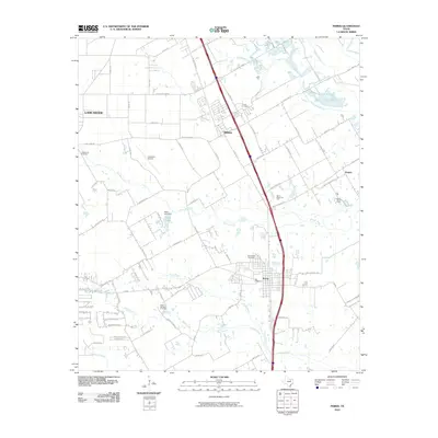 2010 Ferris2010 Print · USGSCovers Lancaster, including Dallas, Hutchins, and other nearby areas
 - 2010 Map of Oak Cliff, 2010 Print
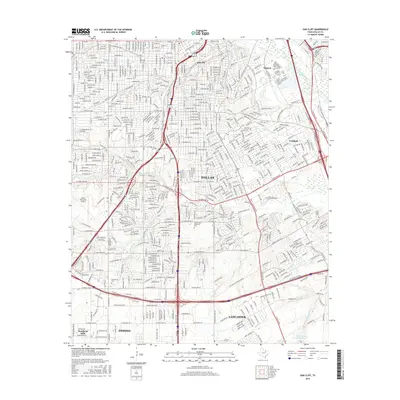
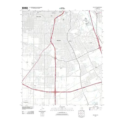 2010 Oak Cliff2010 Print · USGSCovers Lancaster, including Dallas, DeSoto, and other nearby areas
 - 2012 Map of Ferris, 2012 Print
 2012 Ferris2012 Print · USGSCovers Lancaster, including Dallas, Hutchins, and other nearby areas
 - 2012 Map of Oak Cliff, 2012 Print
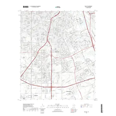
 2012 Oak Cliff2012 Print · USGSCovers Lancaster, including Dallas, DeSoto, and other nearby areas
 - 2012 Map of Lancaster, 2012 Print
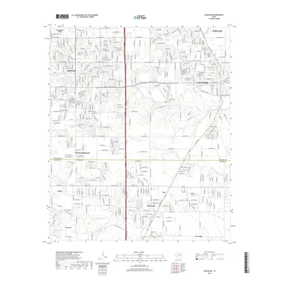
 2012 Lancaster2012 Print · USGSCovers Lancaster, including Dallas, De Soto, and other nearby areas
 - 2016 Map of Lancaster, 2016 Print
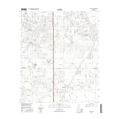 2016 Lancaster2016 Print · USGSCovers Lancaster, including Dallas, De Soto, and other nearby areas
 - 2016 Map of Oak Cliff, 2016 Print
 2016 Oak Cliff2016 Print · USGSCovers Lancaster, including Dallas, DeSoto, and other nearby areas
 - 2016 Map of Ferris, 2016 Print
 2016 Ferris2016 Print · USGSCovers Lancaster, including Dallas, Hutchins, and other nearby areas
 - 2019 Map of Oak Cliff, 2019 Print
 2019 Oak Cliff2019 Print · USGSCovers Lancaster, including Dallas, DeSoto, and other nearby areas
 - 2019 Map of Lancaster, 2019 Print
 2019 Lancaster2019 Print · USGSCovers Lancaster, including Dallas, De Soto, and other nearby areas
 - 2019 Map of Ferris, 2019 Print
 2019 Ferris2019 Print · USGSCovers Lancaster, including Dallas, Hutchins, and other nearby areas
 - 2022 Map of Lancaster, 2022 Print
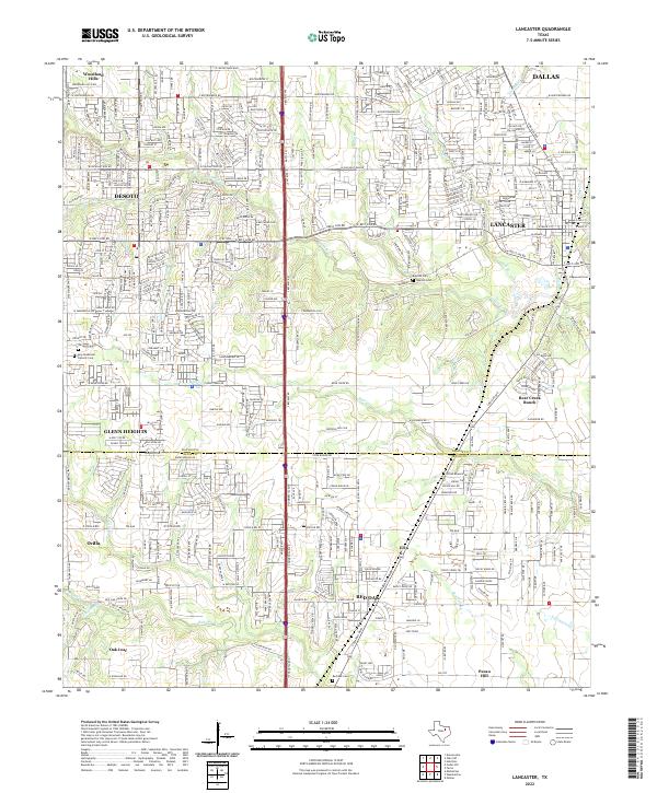 2022 Lancaster2022 Print · USGSThe Dallas-Ellis County line comes alive in this contemporary survey of a rapidly evolving Texas landscape. Researchers can locate family landmarks like the Rawlins Cem, Edgewood Cem, and the sprawling grounds of Bear Creek Ranch.
 - 2022 Map of Ferris, 2022 Print
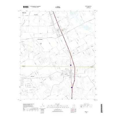
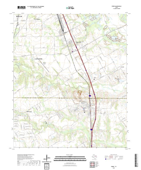 2022 Ferris2022 Print · USGSSpanning the Dallas and Ellis county line in the early 2020s, this area shows the persistent rural-urban mix of North Texas. Researchers can trace family plots at Bluff Springs Cem and Trinity Cem or locate regional landmarks like the Lancaster Regional Airport.
 - 2022 Map of Oak Cliff, 2022 Print
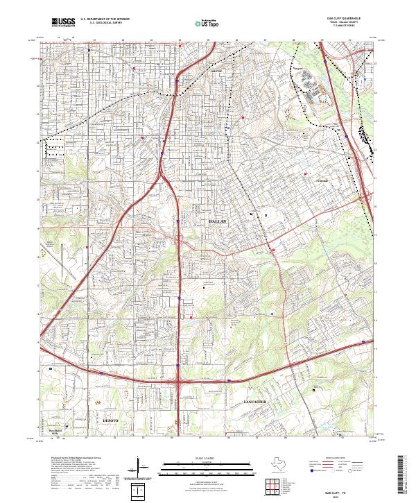 2022 Oak Cliff2022 Print · USGSSouthern Dallas and the Oak Cliff neighborhood are captured here in the early 2020s, showing a landscape of dense residential growth and historic cemeteries. Researchers can find family-named sites like Miller Family Cem or trace the grounds of Paul Quinn College and Laurel Land Memorial Park.
End of results
Showing maps 1-25 of 25
Top cities near Lancaster
- Dallas historical maps
- Irving historical maps
- Grand Prairie historical maps
- Mesquite historical maps
- De Soto historical maps
- DeSoto historical maps
See more
Top neighborhoods of Lancaster
- Saddlebrook Estates historical maps
- Beltline Ashmoore historical maps
- Mill Creek Estates historical maps
- Millbrook East historical maps
Frequently asked questions
- What are the different types of historical maps available for Lancaster?
- What is the oldest map of Lancaster?
- Where can I purchase historical maps of Lancaster for my home or office?
- Where can I download high-res historical maps of Lancaster?
- Are there historical topographic maps available for Lancaster?
- Is there historical aerial imagery available for Lancaster?
- Where are historical maps of Lancaster sourced from?