Old Maps of Cisco, Texas for Hiking & Exploration
Hike through history with 31 historic maps of Cisco. Explore old trails, ghost towns, and forgotten backroads — perfect for outdoor adventurers and local explorers.
- Rediscover forgotten places: Map out old mining camps, roads, and footpaths that no longer exist on modern maps.
- Layer with modern tools: Combine with LiDAR or satellite views to plan hikes through historical terrain.
- Made for exploration: Popular among hikers, overlanders, and local history lovers.
Use these maps to find adventure and explore the hidden past of Cisco.
Cisco, TX maps
(31)- 1894 Map of Eastland
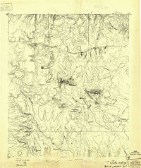
 1894 Eastland1894 Print · USGSEastland County and its neighbors are captured here in the late nineteenth century during the expansion of the rail-and-ranching economy. Researchers can locate early town sites like Desdimonia and Merriman or trace the Texas Central Railroad through Carbon.6 unique versions available
 - 1931 Map of Baird
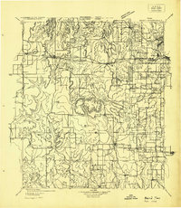
 1931 Baird1931 Print · USGSCallahan County ranching and rail life are documented here in the early twentieth century. Genealogists and local historians can trace the foundations of Baird, the Rough Creek P.O., and distinctive landmarks like Caddo Peak and Round Mt.
 - 1932 Map of Baird
 1932 Baird1932 Print · USGSCallahan and Eastland counties appear in the early 1930s, showing the region's transition into the oil and highway era. Genealogists can locate family homes near Belle Plain, Oak Ridge School, and along the Missouri Kansas & Texas railroad.
 - 1954 Map of Abilene, 1966 Print
 1954 Abilene1966 Print · USGSThe Texas Big Country comes into focus in the mid-1950s as petroleum and new water projects reshape the landscape. Local historians can trace the Butterfield Trail, find the Fort Phantom Hill Ruins, and locate numerous small communities along the Texas & Pacific line.2 unique versions available
 - 1958 Map of Abilene
 1958 Abilene1958 Print · USGSMid-century West Texas comes alive in this survey of the Abilene and Stephenville region during a period of steady oil expansion and military growth. Genealogists and local historians can trace the paths of the Texas & Pacific RR through historic towns, locate the Fort Griffin Ruins, and find smaller settlements like Desdemona and Lueders.
 - 1966 Map of Cisco North, 1969 Print
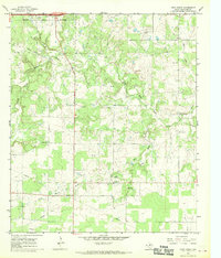
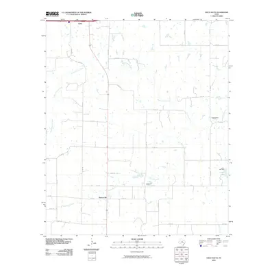
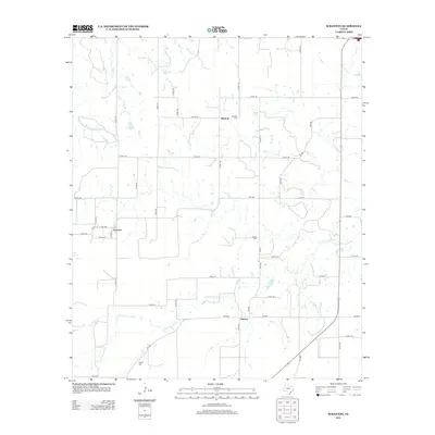
 1966 Cisco North1969 Print · USGSCisco and the surrounding Eastland County terrain are shown here in the mid-1960s as oil production and new educational institutions reshaped the local landscape. Researchers can trace family history at Oakwood Cem or explore the mid-century industrial footprint of the Bankline Oil Field and the local Clay Pits.2 unique versions available
 - 1966 Map of Scranton, 1969 Print
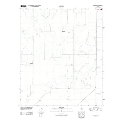
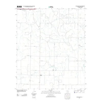
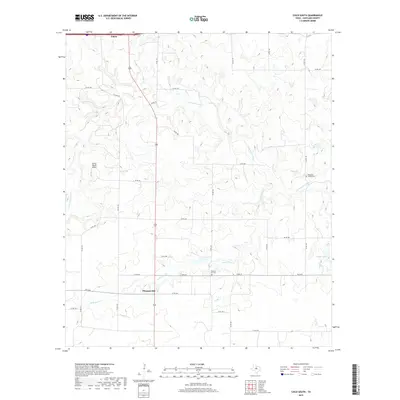
 1966 Scranton1969 Print · USGSAcross the Eastland County ranchlands in the mid-1960s, rural life centered on small communities and family burial grounds. Researchers can trace local lineages at Pisgah Cem and Haskell Cem or explore the early settlements of Scranton and Nimrod.2 unique versions available
 - 1966 Map of Bernie Lake, 1969 Print
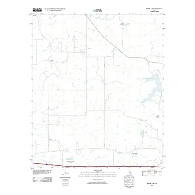
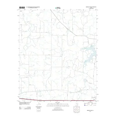
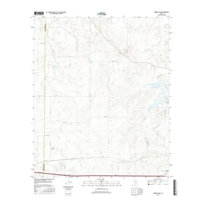
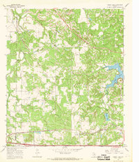 1966 Bernie Lake1969 Print · USGSThe West Texas borderlands of Callahan and Eastland Counties are shown here during the mid-sixties, dominated by a network of creeks and early industrial infrastructure. Researchers can trace the Texas and Pacific line, locate Dothan Cem, and explore the shoreline of Lake Cisco.
 - 1966 Map of Cisco South, 1969 Print
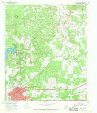
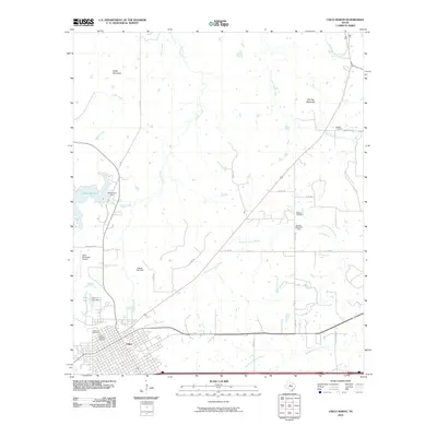
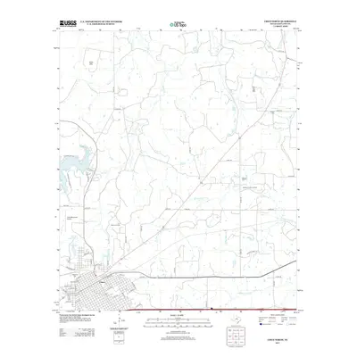
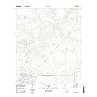
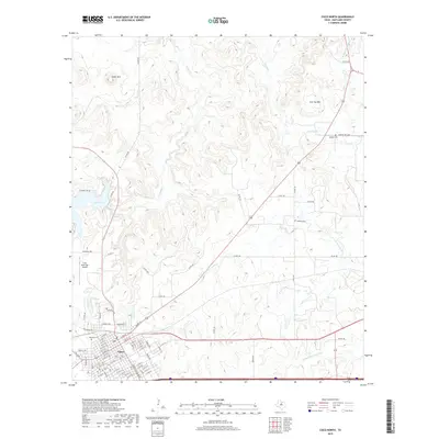
 1966 Cisco South1969 Print · USGSThe outskirts of Cisco and the settlement of Pleasant Hill appear here in the mid-sixties. Trace family history at Pleasant Hill Cem or locate industrial sites like the Pumping Sta and the Old Railroad Grade.2 unique versions available
 - 1985 Map of Stephenville
 1985 Stephenville1985 Print · USGSNorth Central Texas in the mid-eighties shows a landscape defined by ranching, rail history, and early oil towns. Genealogists and historians can trace the paths of the Texas Central railroad and locate rural communities like Desdemona, Lingleville, and Punkin Center.2 unique versions available
 - 1985 Map of Abilene, 1986 Print
 1985 Abilene1986 Print · USGSThe West Texas ranching and rail landscape around Abilene is captured here in the mid-1980s. Local researchers can trace the growth of Hardin-Simmons University, locate family sites near Ross Cem, or explore the area around Buffalo Gap and Dyess Air Force Base.2 unique versions available
 - 2010 Map of Cisco South, 2010 Print
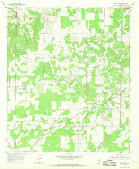
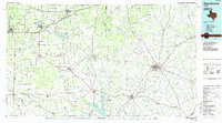
 2010 Cisco South2010 Print · USGSCovers Cisco, including Pleasant Hill, Eastland County, and other nearby areas
 - 2010 Map of Bernie Lake, 2010 Print
 2010 Bernie Lake2010 Print · USGSCovers Cisco, including Pueblo, Dothan, and other nearby areas
 - 2010 Map of Scranton, 2010 Print
 2010 Scranton2010 Print · USGSCovers Cisco, including Scranton, Nimrod, and other nearby areas
 - 2010 Map of Cisco North, 2010 Print
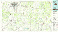
 2010 Cisco North2010 Print · USGSCovers Cisco, including Eastland County, United States, and other nearby areas
 - 2012 Map of Bernie Lake, 2012 Print
 2012 Bernie Lake2012 Print · USGSCovers Cisco, including Pueblo, Dothan, and other nearby areas
 - 2012 Map of Cisco South, 2012 Print
 2012 Cisco South2012 Print · USGSCovers Cisco, including Pleasant Hill, Eastland County, and other nearby areas
 - 2012 Map of Cisco North, 2012 Print
 2012 Cisco North2012 Print · USGSCovers Cisco, including Eastland County, United States, and other nearby areas
 - 2012 Map of Scranton, 2012 Print
 2012 Scranton2012 Print · USGSCovers Cisco, including Scranton, Nimrod, and other nearby areas
 - 2016 Map of Bernie Lake, 2016 Print
 2016 Bernie Lake2016 Print · USGSCovers Cisco, including Pueblo, Dothan, and other nearby areas
 - 2016 Map of Scranton, 2016 Print
 2016 Scranton2016 Print · USGSCovers Cisco, including Scranton, Nimrod, and other nearby areas
 - 2016 Map of Cisco South, 2016 Print
 2016 Cisco South2016 Print · USGSCovers Cisco, including Pleasant Hill, Eastland County, and other nearby areas
 - 2016 Map of Cisco North, 2016 Print
 2016 Cisco North2016 Print · USGSCovers Cisco, including Eastland County, United States, and other nearby areas
 - 2019 Map of Cisco North, 2019 Print
 2019 Cisco North2019 Print · USGSCovers Cisco, including Eastland County, United States, and other nearby areas
 - 2019 Map of Cisco South, 2019 Print
 2019 Cisco South2019 Print · USGSCovers Cisco, including Pleasant Hill, Eastland County, and other nearby areas
Showing maps 1-25 of 31
Top cities near Cisco
Frequently asked questions
- What are the different types of historical maps available for Cisco?
- What is the oldest map of Cisco?
- Where can I purchase historical maps of Cisco for my home or office?
- Where can I download high-res historical maps of Cisco?
- Are there historical topographic maps available for Cisco?
- Is there historical aerial imagery available for Cisco?
- Where are historical maps of Cisco sourced from?