Old Maps of Emiliano Estates, Ector County for Metal Detecting
Plan your next treasure hunt with 9 historic maps of Emiliano Estates. Find old homesites, ghost towns, trails, and gathering spots that may be lost to time — perfect for identifying promising metal detecting locations.
- Locate forgotten sites: Uncover places like long-lost settlements, abandoned rail lines, or gathering spots.
- Plan better hunts: Use map overlays combined with LiDAR or satellite views to narrow in on historically rich areas.
- Made for detectorists: Thousands of hobbyists use these maps to discover relics, coins, and hidden history.
Use these historic maps to boost your research and find new opportunities beneath the surface of Emiliano Estates.
Emiliano Estates, Ector County maps
(9)- 1954 Map of Pecos, 1964 Print
 1954 Pecos1964 Print · USGSMid-century West Texas reveals a landscape of expanding oil fields and cattle ranching along the winding Pecos River. Local historians can trace family ranch lands like Goodrich Ranch, follow the Texas and Pacific rails, or locate the historic Horsehead Crossing.3 unique versions available
 - 1957 Map of Pecos
 1957 Pecos1957 Print · USGSWest Texas in the mid-fifties is a landscape of desert oil fields and vital rail corridors. Researchers can trace the sprawling Pyote Air Force Base, the historic Horsehead Crossing, and the rail stops at Mentone and Saragosa.
 - 1965 Map of South Cowden Ranch, 1967 Print
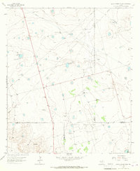 1965 South Cowden Ranch1967 Print · USGSThe West Texas range meets the mid-century oil boom in the mid-1960s, where vast energy fields intersect with historic cattle operations. Genealogists and historians can trace ranch boundaries and water sources like South Cowden Ranch, Hillbilly Windmill, and Railway Ranch.2 unique versions available
 - 1986 Map of Odessa
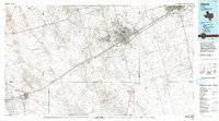 1986 Odessa1986 Print · USGSThe Permian Basin’s oil-driven landscape is revealed in the mid-eighties, showing the sprawl of Odessa and Midland. Trace the growth of energy infrastructure at the South Cowden Oil Field or explore the unique Sand Dunes of Monahans Sand Hills State Park.2 unique versions available
 - 2010 Map of South Cowden Ranch, 2010 Print
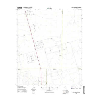
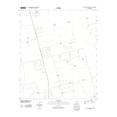 2010 South Cowden Ranch2010 Print · USGSCovers Emiliano Estates, including Wilson's Corner, Ragsdale, and other nearby areas
 - 2012 Map of South Cowden Ranch, 2012 Print
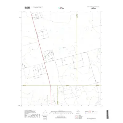
 2012 South Cowden Ranch2012 Print · USGSCovers Emiliano Estates, including Wilson's Corner, Ragsdale, and other nearby areas
 - 2016 Map of South Cowden Ranch, 2016 Print
 2016 South Cowden Ranch2016 Print · USGSCovers Emiliano Estates, including Wilson's Corner, Ragsdale, and other nearby areas
 - 2019 Map of South Cowden Ranch, 2019 Print
 2019 South Cowden Ranch2019 Print · USGSCovers Emiliano Estates, including Wilson's Corner, Ragsdale, and other nearby areas
 - 2022 Map of South Cowden Ranch, 2022 Print
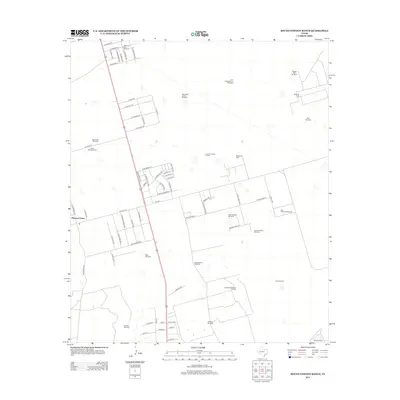
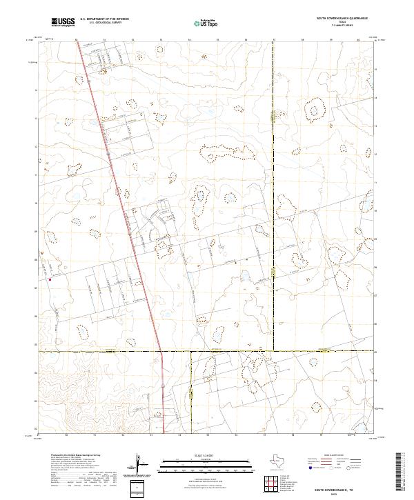 2022 South Cowden Ranch2022 Print · USGSWest Texas energy lands come into focus in this recent survey where Ector, Crane, Upton, and Midland counties meet. Researchers can trace local industrial routes like S Texaco Plant Rd and the small settlement of Michelle amidst the oil fields.
End of results
Showing maps 1-9 of 9
Frequently asked questions
- What are the different types of historical maps available for Emiliano Estates?
- What is the oldest map of Emiliano Estates?
- Where can I purchase historical maps of Emiliano Estates for my home or office?
- Where can I download high-res historical maps of Emiliano Estates?
- Are there historical topographic maps available for Emiliano Estates?
- Is there historical aerial imagery available for Emiliano Estates?
- Where are historical maps of Emiliano Estates sourced from?