Old Maps of University Acres, Ector County for Academic Research
Study the evolution of University Acres with 9 high-resolution historic maps. Whether you're teaching, researching, or modeling changes in land use, these maps provide essential visual documentation of urban, environmental, and geographic change.
- Analyze long-term change: Track patterns in development, transportation, and natural features.
- Ideal for environmental or urban studies: Support academic projects with primary historical map data.
- Use in the classroom or lab: Educators and researchers rely on these maps to bring historical context to life.
These maps are a powerful tool for teaching, research, and visualizing how University Acres has changed over the decades.
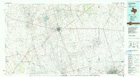
University Acres, Ector County maps
(9)- 1954 Map of Hobbs, 1963 Print
 1954 Hobbs1963 Print · USGSThe High Plains and Permian Basin transition is captured here at the height of the mid-century energy boom. Genealogists and industrial historians can trace the foundations of Humble City, locate the Potash Mine and Plant, and follow the Texas-New Mexico RR.2 unique versions available
 - 1958 Map of Hobbs
 1958 Hobbs1958 Print · USGSThe High Plains of the Texas-New Mexico border are shown here during the height of the mid-century oil boom. Genealogists and historians can trace the development of Hobbs, Lovington, and Jal, alongside ranching landmarks like James Ranch and the early Texas-New Mexico Railway.
 - 1968 Map of Hackberry Lake, 1970 Print
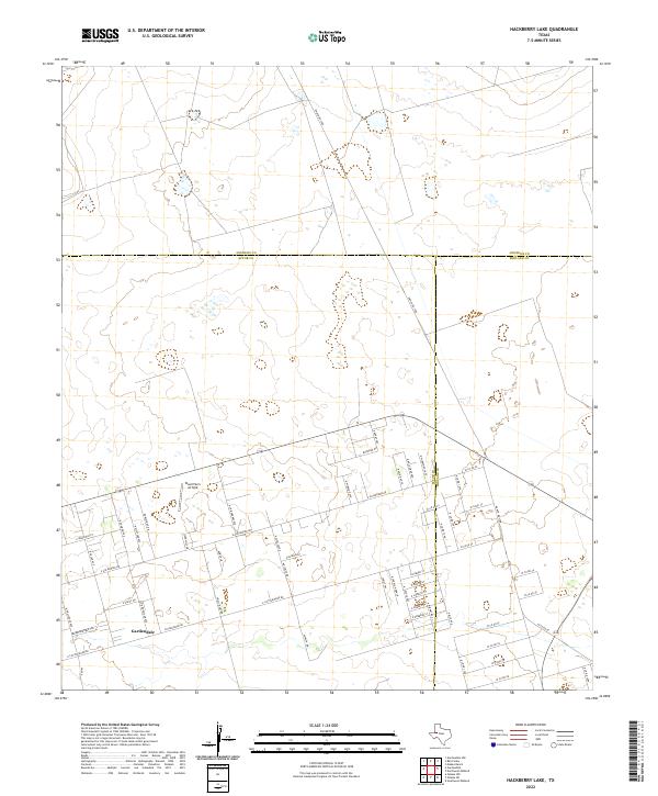
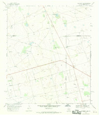 1968 Hackberry Lake1970 Print · USGSIn the Permian Basin during the late sixties, this area shows the intersection of the cattle-ranching past and the oil-industry future. Trace family-named landmarks like Morris and Hunter Well, or locate the specific placement of the Hackberry Windmill.2 unique versions available
 - 1991 Map of Andrews, 1992 Print
 1991 Andrews1992 Print · USGSThe West Texas oil country comes into sharp focus in the early nineties, centered on the energy hub of Andrews. Researchers can trace the sprawling infrastructure of the Mabee Oil Field and Goldsmith Oil Field alongside Shafter Lake.
 - 2010 Map of Hackberry Lake, 2010 Print
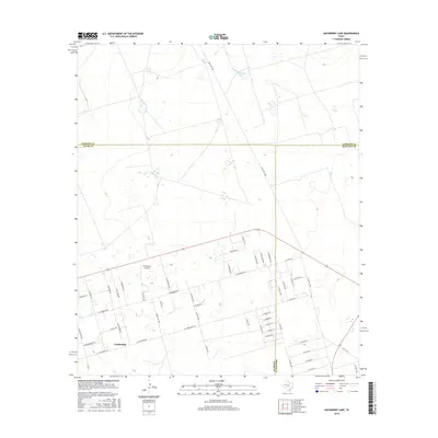
 2010 Hackberry Lake2010 Print · USGSCovers University Acres, including Gardendale, Whittenburg Ranch, and other nearby areas
 - 2012 Map of Hackberry Lake, 2012 Print
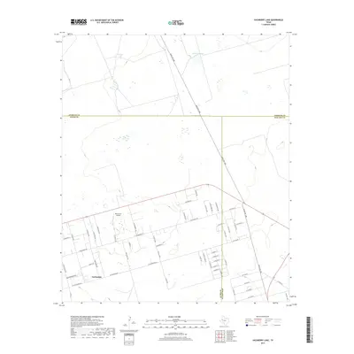
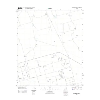 2012 Hackberry Lake2012 Print · USGSCovers University Acres, including Gardendale, Whittenburg Ranch, and other nearby areas
 - 2016 Map of Hackberry Lake, 2016 Print
 2016 Hackberry Lake2016 Print · USGSCovers University Acres, including Gardendale, Whittenburg Ranch, and other nearby areas
 - 2019 Map of Hackberry Lake, 2019 Print
 2019 Hackberry Lake2019 Print · USGSCovers University Acres, including Gardendale, Whittenburg Ranch, and other nearby areas
 - 2022 Map of Hackberry Lake, 2022 Print
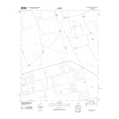
 2022 Hackberry Lake2022 Print · USGSGardendale and the surrounding West Texas plains are documented here at a time of continued residential expansion near the Ector-Midland county line. Local historians can trace the development of the community near Wood Farm Airfield and the network of roads such as FM 554 and E Cottonwood Rd.
End of results
Showing maps 1-9 of 9
Frequently asked questions
- What are the different types of historical maps available for University Acres?
- What is the oldest map of University Acres?
- Where can I purchase historical maps of University Acres for my home or office?
- Where can I download high-res historical maps of University Acres?
- Are there historical topographic maps available for University Acres?
- Is there historical aerial imagery available for University Acres?
- Where are historical maps of University Acres sourced from?