Old Maps of Carta Valley, Texas for Academic Research
Study the evolution of Carta Valley with 10 high-resolution historic maps. Whether you're teaching, researching, or modeling changes in land use, these maps provide essential visual documentation of urban, environmental, and geographic change.
- Analyze long-term change: Track patterns in development, transportation, and natural features.
- Ideal for environmental or urban studies: Support academic projects with primary historical map data.
- Use in the classroom or lab: Educators and researchers rely on these maps to bring historical context to life.
These maps are a powerful tool for teaching, research, and visualizing how Carta Valley has changed over the decades.
Carta Valley, TX maps
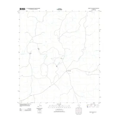
(10)- 1943 Map of Carta Valley
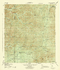 1943 Carta Valley1943 Print · USGSTexas ranching culture is preserved in this wartime survey of the Edwards Plateau. Researchers can trace historic family holdings across the landscape, from Carta Valley to remote outposts like Wittenburg Ranch, Camp Brown Ranch, and Galloway Ranch.
 - 1958 Map of Del Rio, 1970 Print
 1958 Del Rio1970 Print · USGSThe Texas-Mexico borderlands come alive in the late fifties, showing the confluence of the Rio Grande and the emerging Amistad Reservoir. Trace the lineage of the Southern Pacific rail line through stops at Pumpville, Shumla, and the mining vicinity of Blewett.2 unique versions available
 - 1964 Map of Del Rio
 1964 Del Rio1964 Print · USGSAlong the Mexican border during the mid-sixties, this area centered on the confluence of the Rio Grande and Devils River. Researchers can trace the Southern Pacific line through isolated stops like Pumpville or locate military and industrial sites such as Laughlin Air Force Base and the mines at Blewett.
 - 1978 Map of Carta Valley
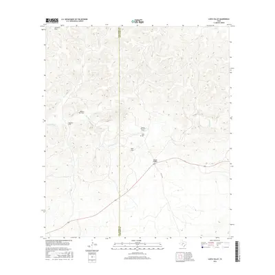
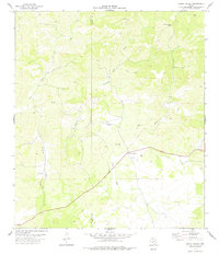 1978 Carta Valley1978 Print · USGSCarta Valley and the Edwards County ranchlands are captured here in the late 1970s, showing a landscape shaped by deep draws and isolated wells. Genealogists and local historians can locate the Carta Valley Cemetery, the settlement of Newman, and family-named landmarks like Kaufman Draw or Wallace Well Draw.
 - 1985 Map of Camp Wood, 1986 Print
 1985 Camp Wood1986 Print · USGSThe Edwards Plateau and Nueces River Valley are captured here in the mid-eighties, showing a landscape of isolated ranching hubs and rugged drainage basins. Researchers can trace the Old Railroad Grade or locate historic springs like Dripping Springs and Red Camp Spring.2 unique versions available
 - 2010 Map of Carta Valley, 2010 Print
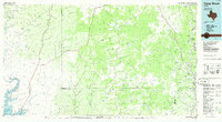
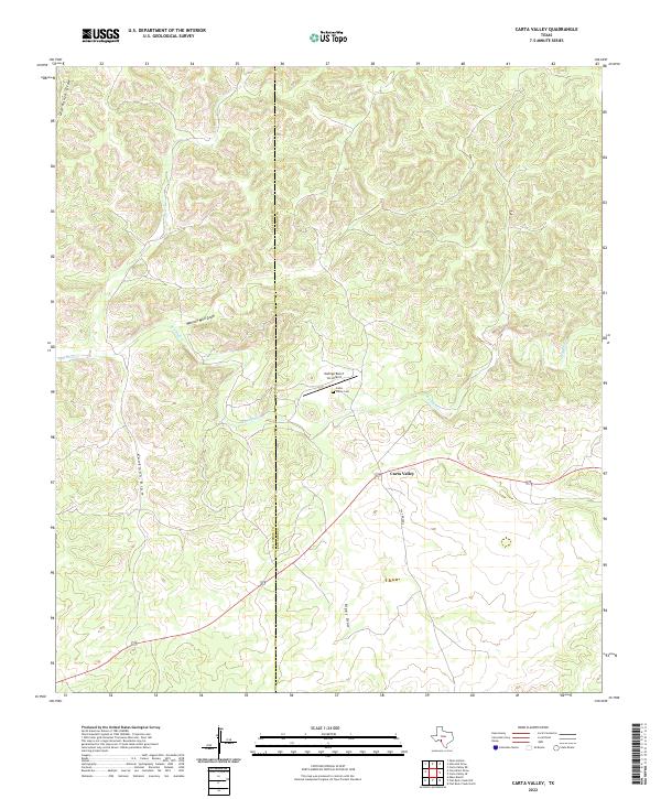
 2010 Carta Valley2010 Print · USGSCovers Carta Valley, including Val Verde County, Edwards County, and other nearby areas
 - 2012 Map of Carta Valley, 2012 Print
 2012 Carta Valley2012 Print · USGSCovers Carta Valley, including Val Verde County, Edwards County, and other nearby areas
 - 2016 Map of Carta Valley, 2016 Print
 2016 Carta Valley2016 Print · USGSCovers Carta Valley, including Val Verde County, Edwards County, and other nearby areas
 - 2019 Map of Carta Valley, 2019 Print
 2019 Carta Valley2019 Print · USGSCovers Carta Valley, including Val Verde County, Edwards County, and other nearby areas
 - 2022 Map of Carta Valley, 2022 Print
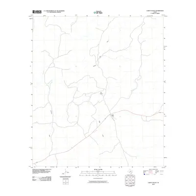
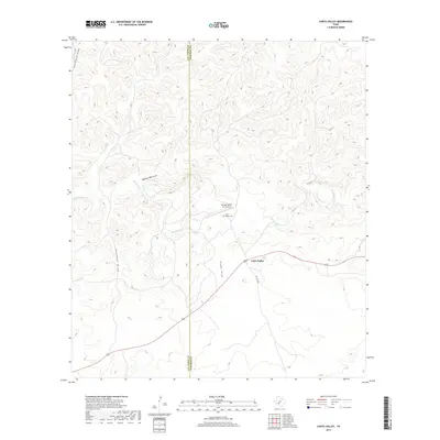
 2022 Carta Valley2022 Print · USGSCarta Valley and the surrounding Edwards County ranchlands are captured here in the early twenty-first century. Genealogists and local historians can locate the Carta Valley Cem and trace seasonal watercourses like Red Bluff Cr and Kaufman Draw.
End of results
Showing maps 1-10 of 10
Frequently asked questions
- What are the different types of historical maps available for Carta Valley?
- What is the oldest map of Carta Valley?
- Where can I purchase historical maps of Carta Valley for my home or office?
- Where can I download high-res historical maps of Carta Valley?
- Are there historical topographic maps available for Carta Valley?
- Is there historical aerial imagery available for Carta Valley?
- Where are historical maps of Carta Valley sourced from?