Old Maps of Marlin, Texas for Metal Detecting
Plan your next treasure hunt with 15 historic maps of Marlin. Find old homesites, ghost towns, trails, and gathering spots that may be lost to time — perfect for identifying promising metal detecting locations.
- Locate forgotten sites: Uncover places like long-lost settlements, abandoned rail lines, or gathering spots.
- Plan better hunts: Use map overlays combined with LiDAR or satellite views to narrow in on historically rich areas.
- Made for detectorists: Thousands of hobbyists use these maps to discover relics, coins, and hidden history.
Use these historic maps to boost your research and find new opportunities beneath the surface of Marlin.
Marlin, TX maps
(15)- 1954 Map of Waco, 1964 Print
 1954 Waco1964 Print · USGSCentral Texas during the mid-fifties shows a landscape defined by the expansion of Fort Hood Military Reservation and the Brazos river system. Trace the rail lines and early airfields like James Connally Air Force Base and settlements like Temple or McGregor.2 unique versions available
 - 1955 Map of Waco
 1955 Waco1955 Print · USGSCentral Texas at the peak of the Cold War reveals a landscape defined by military expansion and major water projects. Researchers can trace the footprints of Fort Hood, the waters of Lake Waco, and regional hubs like Temple or Mexia.
 - 1957 Map of McClanahan, 1958 Print
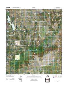
 1957 McClanahan1958 Print · USGSFalls County in the late 1950s is defined by its rural church communities and the dual rail lines serving the cotton and cattle country. Researchers can trace family sites like Taylor Chapel Cem, Marvin Allen Ch, and the small settlement of Mc Clanahan.2 unique versions available
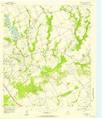
 - 1957 Map of Marlin, 1958 Print
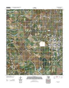
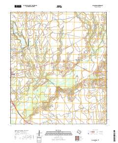
 1957 Marlin1958 Print · USGSFalls County during the mid-fifties is captured here as a bustling rail crossroads where the Missouri Pacific and Texas and New Orleans meet. Local researchers can trace old community landmarks from the Courthouse and Booker T Washington High Sch to rural stops like Rocky Hill.3 unique versions available
 - 1985 Map of Marlin
 1985 Marlin1985 Print · USGSMid-century Texas agriculture and transit converge here during the mid-1980s, centered on the Brazos River corridor. Genealogists can locate family sites near Tidwell Prairie or trace the Missouri Pacific RR through Bremond and Kosse.2 unique versions available
 - 2010 Map of McClanahan, 2010 Print
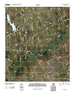 2010 McClanahan2010 Print · USGSCovers Marlin, including McClanahan, Sunrise, and other nearby areas
 - 2010 Map of Marlin, 2010 Print
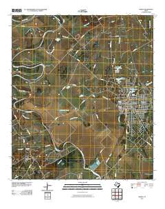 2010 Marlin2010 Print · USGSCovers Marlin, including Triangle, Rocky Hill, and other nearby areas
 - 2013 Map of Marlin, 2013 Print
 2013 Marlin2013 Print · USGSCovers Marlin, including Triangle, Rocky Hill, and other nearby areas
 - 2013 Map of McClanahan, 2013 Print
 2013 McClanahan2013 Print · USGSCovers Marlin, including McClanahan, Sunrise, and other nearby areas
 - 2016 Map of McClanahan, 2016 Print
 2016 McClanahan2016 Print · USGSCovers Marlin, including McClanahan, Sunrise, and other nearby areas
 - 2016 Map of Marlin, 2016 Print
 2016 Marlin2016 Print · USGSCovers Marlin, including Triangle, Rocky Hill, and other nearby areas
 - 2019 Map of McClanahan, 2019 Print
 2019 McClanahan2019 Print · USGSCovers Marlin, including McClanahan, Sunrise, and other nearby areas
 - 2019 Map of Marlin, 2019 Print
 2019 Marlin2019 Print · USGSCovers Marlin, including Triangle, Rocky Hill, and other nearby areas
 - 2022 Map of McClanahan, 2022 Print
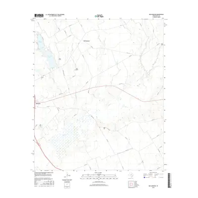
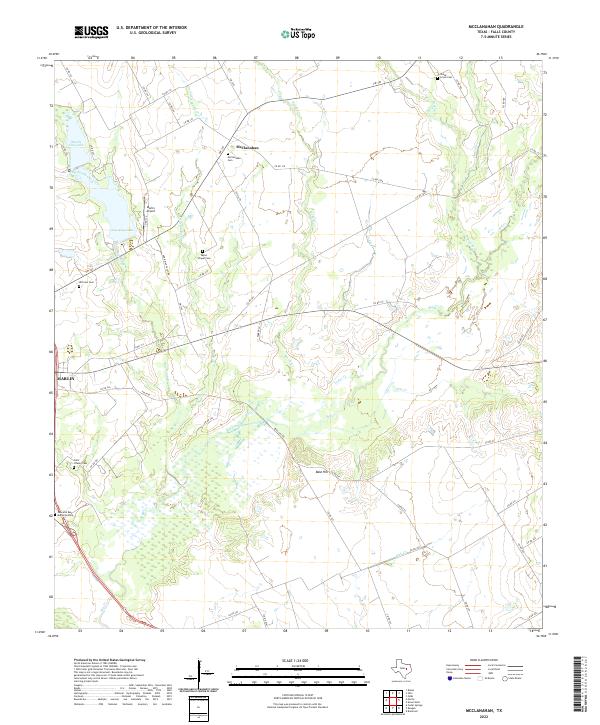 2022 McClanahan2022 Print · USGSThe rural prairies of Falls County come into focus during the early 2020s, centered on the settlement of McClanahan. Researchers can trace family history through several local landmarks, including the Taylor Chapel Cem and the prominent Bald Hill.
 - 2022 Map of Marlin, 2022 Print
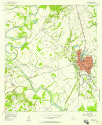
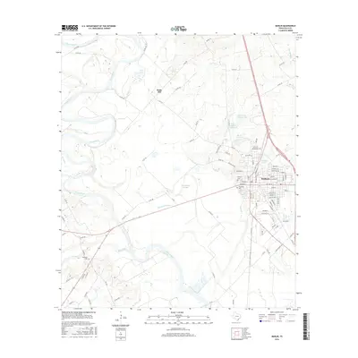
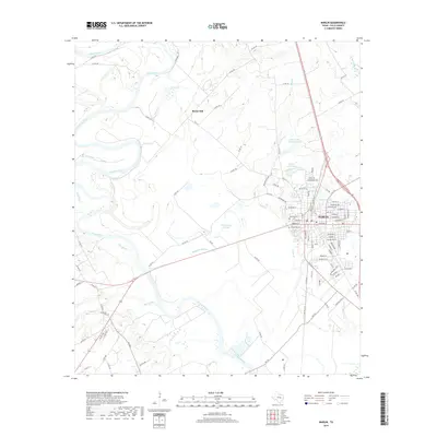
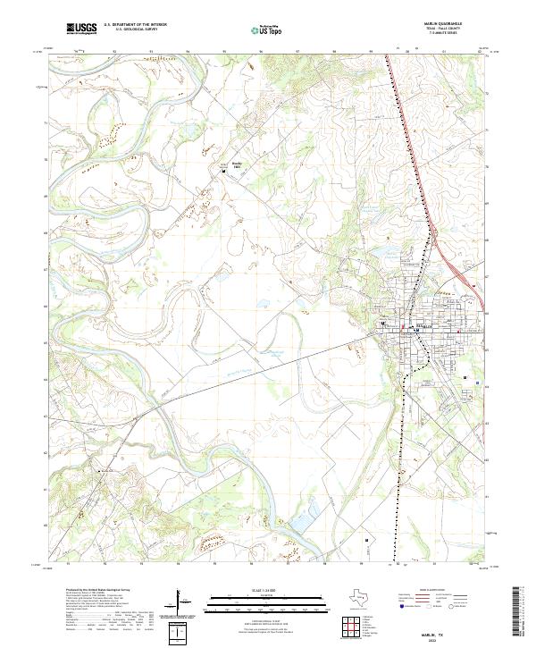 2022 Marlin2022 Print · USGSMarlin and the surrounding Falls County countryside appear in this contemporary survey as the Brazos River winds through the western bottomlands. Researchers can locate the Falls County Courthouse, trace the grid of the city, and identify local burial sites like Marlin Calvary Cem.
End of results
Showing maps 1-15 of 15
Top cities near Marlin
- Waco historical maps
- Robinson historical maps
- Mart historical maps
- Rosebud historical maps
- Riesel historical maps
- Chilton historical maps
See more
Frequently asked questions
- What are the different types of historical maps available for Marlin?
- What is the oldest map of Marlin?
- Where can I purchase historical maps of Marlin for my home or office?
- Where can I download high-res historical maps of Marlin?
- Are there historical topographic maps available for Marlin?
- Is there historical aerial imagery available for Marlin?
- Where are historical maps of Marlin sourced from?