2020s Maps of Villa Vista, Seguin
Explore 2 historic maps of Villa Vista from the 2020s. These maps offer a rare glimpse into what life looked like during the 2020s — showing old roads, neighborhoods, homes, and landmarks that have changed or disappeared over time.
Whether you're researching your family's past, planning a metal detecting trip, or studying how Villa Vista's landscape evolved across the 2020s, these high-resolution maps are a powerful tool for exploring the history of this region.
- Focus on a specific era: All maps on this page are from the 2020s, giving you a focused view of this time period.
- See what’s changed: Compare century-old streets, trails, and buildings to today's modern landscape using overlays and satellite layers.
- Research with precision: Use these maps for genealogy, historical research, land use analysis, or educational projects.
- View, download, or print: Maps are fully viewable online in high resolution, and can be downloaded or printed for your own records.
Start exploring Villa Vista's history through authentic maps from the 2020s. This is your window into the past.
Villa Vista, Seguin maps
(2)- 2022 Map of McQueeney, 2022 Print
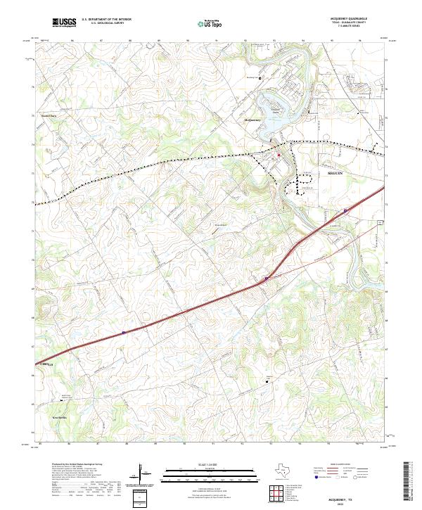 2022 McQueeney2022 Print · USGSThe Guadalupe River valley near Seguin is captured here in the early 2020s, showing a landscape defined by riverside living and historic family lands. Genealogists can locate several local burial sites like Santo Tomas Cem and Boecker Cem, while tracing the paths of Youngs Cr and the historic Old San Antonio Rd.
 - 2022 Map of Seguin, 2022 Print
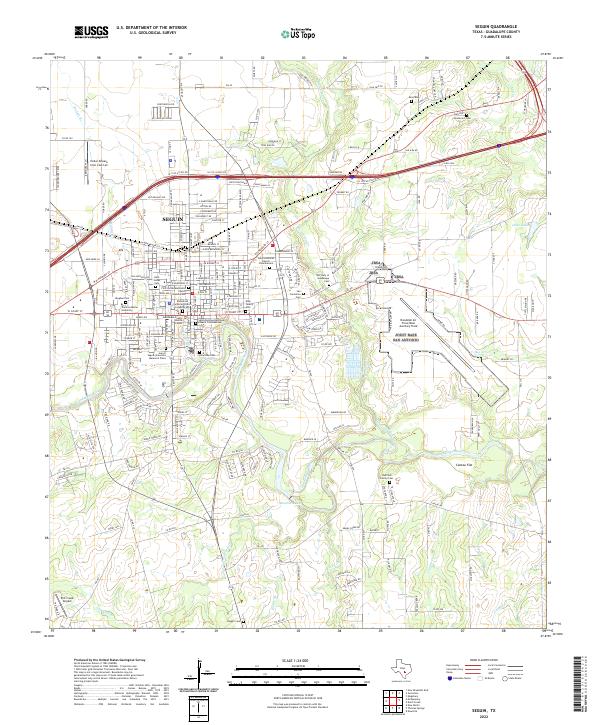 2022 Seguin2022 Print · USGSSeguin and its surrounding Guadalupe County prairies are captured in this modern survey during a period of sustained growth. Genealogists and local historians can trace the locations of numerous burial sites such as Dugger Cem and Vaughan Cem, or locate landmarks like Texas Lutheran University.
End of results
Showing maps 1-2 of 2
Frequently asked questions
- What are the different types of historical maps available for Villa Vista?
- What is the oldest map of Villa Vista?
- Where can I purchase historical maps of Villa Vista for my home or office?
- Where can I download high-res historical maps of Villa Vista?
- Are there historical topographic maps available for Villa Vista?
- Is there historical aerial imagery available for Villa Vista?
- Where are historical maps of Villa Vista sourced from?