Old Maps of Pecan Wells, Texas for Academic Research
Study the evolution of Pecan Wells with 11 high-resolution historic maps. Whether you're teaching, researching, or modeling changes in land use, these maps provide essential visual documentation of urban, environmental, and geographic change.
- Analyze long-term change: Track patterns in development, transportation, and natural features.
- Ideal for environmental or urban studies: Support academic projects with primary historical map data.
- Use in the classroom or lab: Educators and researchers rely on these maps to bring historical context to life.
These maps are a powerful tool for teaching, research, and visualizing how Pecan Wells has changed over the decades.
Pecan Wells, TX maps
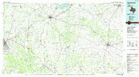
(11)- 1888 Map of Hamilton
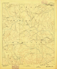 1888 Hamilton1888 Print · USGSCentral Texas during the 1880s is captured here at a moment of early frontier growth and agricultural settlement. Researchers can trace the original locations of rural centers like Gentry Mill, Pottsville, and the remote post office at Indian Gap.
 - 1894 Map of Hamilton
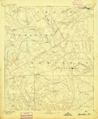 1894 Hamilton1894 Print · USGSCentral Texas ranching and farming communities are captured here in the 1890s, just after the initial frontier period. Genealogists can locate family-named landmarks and early settlements like Gentry Mill, Indian Gap, and Hazle Dell along the Leon River.5 unique versions available
 - 1954 Map of Brownwood, 1955 Print
 1954 Brownwood1955 Print · USGSCentral Texas in the early fifties shows a landscape of rail-linked cattle towns and winding river valleys before modern highway expansion. Genealogists and historians can trace family-named peaks and vanished rail stops like Trickham, Santa Anna, and the Brady Mountains.3 unique versions available
 - 1956 Map of Pottsville, 1957 Print
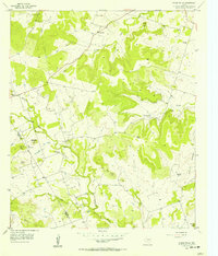
 1956 Pottsville1957 Print · USGSHamilton County ranching and rural life are preserved here in the mid-1950s, showing the landscape before modern consolidation. Researchers can trace family sites like the Cottage Hill Cem, locate the Indian Cave, or find the now-abandoned McGirk Sch.
 - 1956 Map of Pecan Wells, 1957 Print
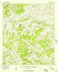
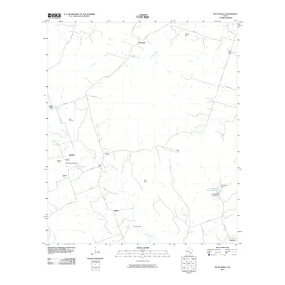
 1956 Pecan Wells1957 Print · USGSHamilton and Mills Counties were characterized by quiet ranching life and scattered settlements in the mid-1950s. Researchers can trace family history through several burial grounds like Cottage Hill Cem and identify the location of the McGirk Sch (Aband).
 - 1985 Map of Comanche
 1985 Comanche1985 Print · USGSCentral Texas in the mid-eighties shows a landscape of established ranching towns and expanding reservoirs. Trace the family-named gaps and summits from Mercers Gap to Hog Mountains, alongside smaller settlements like Gentrys Mill and Hazeldell.2 unique versions available
 - 2010 Map of Pecan Wells, 2010 Print
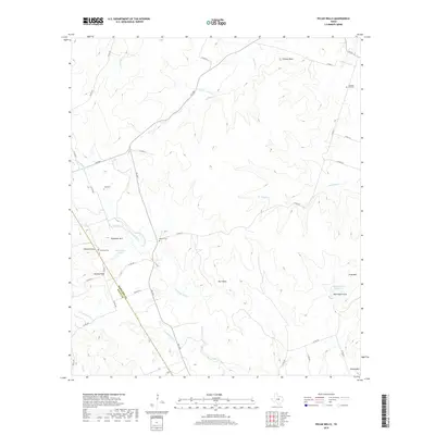
 2010 Pecan Wells2010 Print · USGSCovers Pecan Wells, including McGirk, Springdale, and other nearby areas
 - 2012 Map of Pecan Wells, 2012 Print
 2012 Pecan Wells2012 Print · USGSCovers Pecan Wells, including McGirk, Springdale, and other nearby areas
 - 2016 Map of Pecan Wells, 2016 Print
 2016 Pecan Wells2016 Print · USGSCovers Pecan Wells, including McGirk, Springdale, and other nearby areas
 - 2019 Map of Pecan Wells, 2019 Print
 2019 Pecan Wells2019 Print · USGSCovers Pecan Wells, including McGirk, Springdale, and other nearby areas
 - 2022 Map of Pecan Wells, 2022 Print
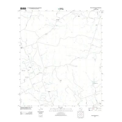
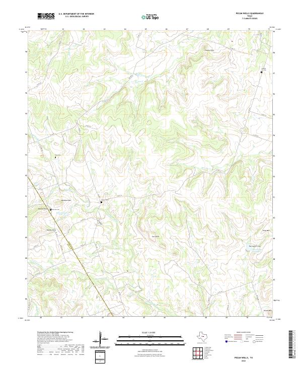 2022 Pecan Wells2022 Print · USGSCentral Texas ranching country at the Hamilton and Mills county line is defined by the winding Lampasas River. Genealogists can locate family landmarks like Cottage Hill Cem and Ward Cem among the summits of Deadman Mtn and Vista Mtn.
End of results
Showing maps 1-11 of 11
Top cities near Pecan Wells
Frequently asked questions
- What are the different types of historical maps available for Pecan Wells?
- What is the oldest map of Pecan Wells?
- Where can I purchase historical maps of Pecan Wells for my home or office?
- Where can I download high-res historical maps of Pecan Wells?
- Are there historical topographic maps available for Pecan Wells?
- Is there historical aerial imagery available for Pecan Wells?
- Where are historical maps of Pecan Wells sourced from?