Old Maps of Gruver, Texas for Hiking & Exploration
Hike through history with 15 historic maps of Gruver. Explore old trails, ghost towns, and forgotten backroads — perfect for outdoor adventurers and local explorers.
- Rediscover forgotten places: Map out old mining camps, roads, and footpaths that no longer exist on modern maps.
- Layer with modern tools: Combine with LiDAR or satellite views to plan hikes through historical terrain.
- Made for exploration: Popular among hikers, overlanders, and local history lovers.
Use these maps to find adventure and explore the hidden past of Gruver.
Gruver, TX maps
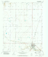
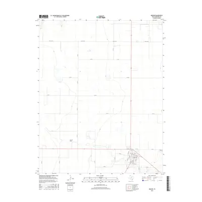
(15)- 1954 Map of Perryton, 1966 Print
 1954 Perryton1966 Print · USGSThe High Plains of the Texas and Oklahoma panhandles are shown during a period of steady growth in the mid-1950s. Genealogists and researchers can trace rail history and local landmarks like Panhandle A & M College, Spurlock Chapel, and the isolated Lord Station.3 unique versions available
 - 1958 Map of Perryton
 1958 Perryton1958 Print · USGSThe Oklahoma Panhandle and Texas borderlands come alive in this mid-century survey, showing the vital rail-and-ranch economy of the High Plains. Researchers can trace historic stops along the Chicago Rock Island and Pacific and locate rural landmarks like Bethel Church and Spurlock Chapel.
 - 1973 Map of Gruver, 1977 Print
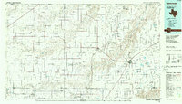
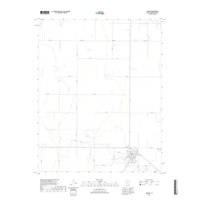
 1973 Gruver1977 Print · USGSHansford County in the early seventies reveals a landscape defined by the Texas Panhandle’s energy and grain economies. Trace the rail-and-well network from the Chicago Rock Island and Pacific tracks to the Gruver Cem and local Grain Elevator.
 - 1974 Map of Hannas Draw East, 1977 Print
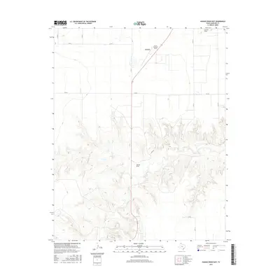
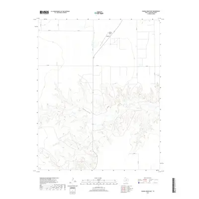
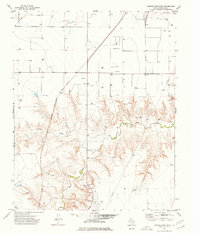 1974 Hannas Draw East1977 Print · USGSHansford County in the mid-1970s shows a landscape balancing high-plains energy production with deep creek drainages. Trace the diagonal route of the Chicago Rock Island and Pacific railroad past Gandy and the Rodeo Ground.
 - 1986 Map of Spearman, 1988 Print
 1986 Spearman1988 Print · USGSThe northern Texas Panhandle and Oklahoma border are seen here in the mid-1980s as a landscape of energy production and ranching. Trace local genealogy and land use across the oil and gas field or through settlements like Spearman, Texhoma, and Gruver.
 - 2010 Map of Gruver, 2010 Print
 2010 Gruver2010 Print · USGSCovers Gruver, including Hansford County, United States, and other nearby areas
 - 2010 Map of Hannas Draw East, 2010 Print
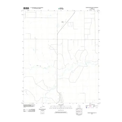 2010 Hannas Draw East2010 Print · USGSCovers Gruver, including Hansford County, United States, and other nearby areas
 - 2012 Map of Hannas Draw East, 2012 Print
 2012 Hannas Draw East2012 Print · USGSCovers Gruver, including Hansford County, United States, and other nearby areas
 - 2012 Map of Gruver, 2012 Print
 2012 Gruver2012 Print · USGSCovers Gruver, including Hansford County, United States, and other nearby areas
 - 2016 Map of Hannas Draw East, 2016 Print
 2016 Hannas Draw East2016 Print · USGSCovers Gruver, including Hansford County, United States, and other nearby areas
 - 2016 Map of Gruver, 2016 Print
 2016 Gruver2016 Print · USGSCovers Gruver, including Hansford County, United States, and other nearby areas
 - 2019 Map of Hannas Draw East, 2019 Print
 2019 Hannas Draw East2019 Print · USGSCovers Gruver, including Hansford County, United States, and other nearby areas
 - 2019 Map of Gruver, 2019 Print
 2019 Gruver2019 Print · USGSCovers Gruver, including Hansford County, United States, and other nearby areas
 - 2022 Map of Gruver, 2022 Print
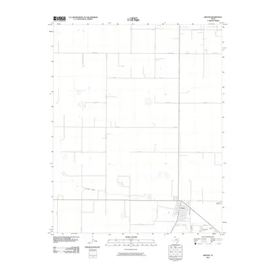
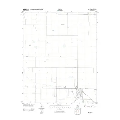
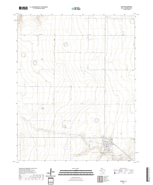 2022 Gruver2022 Print · USGSThe Texas Panhandle town of Gruver is captured here in the early twenty-first century, showing the community's established street grid and agricultural surroundings. Researchers can trace local land divisions and find landmarks like Gruver Cem and the natural path of Farwell Draw.
 - 2022 Map of Hannas Draw East, 2022 Print
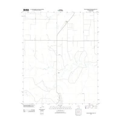
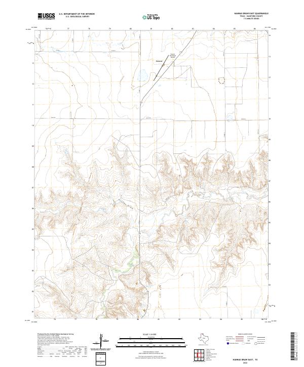 2022 Hannas Draw East2022 Print · USGSHansford County in the modern era shows the steady layout of the Texas Panhandle, where the town of Gruver meets the dissected plains. Researchers can trace the path of Hannas Draw or locate regional transit points like the Gruver Municipal Airport.
End of results
Showing maps 1-15 of 15
Top cities near Gruver
Frequently asked questions
- What are the different types of historical maps available for Gruver?
- What is the oldest map of Gruver?
- Where can I purchase historical maps of Gruver for my home or office?
- Where can I download high-res historical maps of Gruver?
- Are there historical topographic maps available for Gruver?
- Is there historical aerial imagery available for Gruver?
- Where are historical maps of Gruver sourced from?