Old Maps of Chillicothe, Texas
Explore 17 old maps of Chillicothe, spanning from 1955 to today. These high-resolution historic maps reveal how streets, neighborhoods, landmarks, and natural features evolved over time — perfect for genealogy, metal detecting, research, and local history exploration.
What you can do with these maps:
- See how Chillicothe changed over time: Compare historical maps to modern-day views to trace roads, homesites, rail lines & more.
- View detailed metadata: Each map includes creators, publishers, year, scale, and archive source.
- Overlay maps with satellite & LiDAR: Visualize the past alongside modern tools to explore terrain & human change.
- Trusted historical sources: Maps sourced from the USGS, Library of Congress, and other archives.
- Access maps your way: View online, download high-res files, or order prints for personal or research use.
Start exploring old maps of Chillicothe to uncover forgotten places, hidden landmarks, and the deep history beneath your feet.
Chillicothe, TX maps
(17)- 1955 Map of Lawton, 1958 Print
 1955 Lawton1958 Print · USGSSouthwestern Oklahoma and North Texas are shown here in the mid-fifties, dominated by the Wichita Mountains and the vital Red River watershed. Genealogists and historians can trace the foundations of Lawton alongside rural landmarks like Rainy Mountain Church and Pleasant Hill School.5 unique versions available
 - 1958 Map of Medicine Mound, 1959 Print
 1958 Medicine Mound1959 Print · USGSHardeman and Foard Counties are shown here in the late fifties, defined by the winding Pease River and the iconic Medicine Mounds. Researchers can locate the Pease River Battlefield, the town of Margaret, and the Panhandle and Santa Fe rail line.
 - 1960 Map of Quanah, 1963 Print
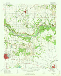 1960 Quanah1963 Print · USGSThe Red River frontier comes to life in the early sixties, showing the vital rail-and-river connection between Oklahoma and the Texas Panhandle. Researchers can trace family roots through Eldorado Cem, King Sch, and the rail lines serving Quanah and Chillicothe.3 unique versions available
 - 1983 Map of Medicine Mound, 1984 Print
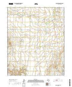
 1983 Medicine Mound1984 Print · USGSHardeman County, Texas, was characterized by its cattle-ranching landscape and distinctive geological rises in the early eighties. Genealogists and historians can trace the roads around Medicine Mound, the streets of Chillicothe, and landmarks like Cedar Mound.
 - 1984 Map of Chillicothe, 1985 Print
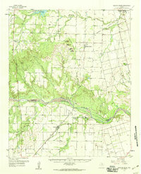
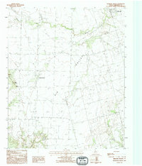
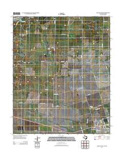
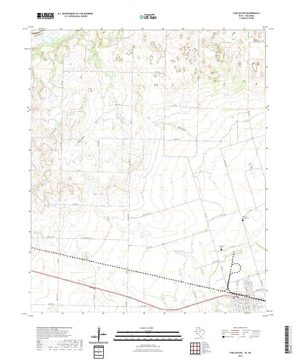
 1984 Chillicothe1985 Print · USGSChillicothe sat at a strategic rail crossroads in the mid-1980s, where the Burlington Northern and Atchison Topeka and Santa Fe lines met. You can trace industrial landmarks like the Grain Elevator, local Oil Wells, and the path of Wanderers Creek.
 - 1986 Map of Vernon
 1986 Vernon1986 Print · USGSNorth Texas and Southern Oklahoma meet along the river in the mid-1980s, revealing a landscape defined by ranching, oil production, and rail transport. Researchers can locate distinct landmarks such as Medicine Mound, the Conley Oil Field, and the community of Punkin Center.
 - 1990 Map of Medicine Mound, 1995 Print
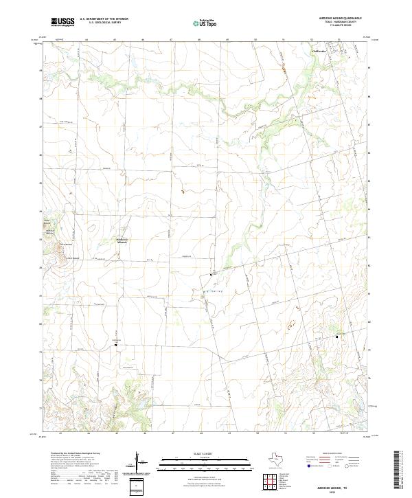
 1990 Medicine Mound1995 Print · USGSHardeman County in the early nineties shows a landscape of traditional ranching punctuated by modern utility infrastructure. Trace the notable peaks of Medicine Mounds and Cedar Mound, or locate the rural Cem and the settlement at Chillicothe.
 - 2010 Map of Medicine Mound, 2010 Print
 2010 Medicine Mound2010 Print · USGSCovers Chillicothe, including Medicine Mound, Hardeman County, and other nearby areas
 - 2010 Map of Chillicothe, 2010 Print
 2010 Chillicothe2010 Print · USGSCovers Chillicothe, including Jackson County, Hardeman County, and other nearby areas
 - 2012 Map of Medicine Mound, 2012 Print
 2012 Medicine Mound2012 Print · USGSCovers Chillicothe, including Medicine Mound, Hardeman County, and other nearby areas
 - 2012 Map of Chillicothe, 2012 Print
 2012 Chillicothe2012 Print · USGSCovers Chillicothe, including Jackson County, Hardeman County, and other nearby areas
 - 2016 Map of Medicine Mound, 2016 Print
 2016 Medicine Mound2016 Print · USGSCovers Chillicothe, including Medicine Mound, Hardeman County, and other nearby areas
 - 2016 Map of Chillicothe, 2016 Print
 2016 Chillicothe2016 Print · USGSCovers Chillicothe, including Jackson County, Hardeman County, and other nearby areas
 - 2019 Map of Chillicothe, 2019 Print
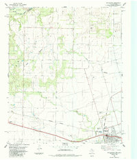
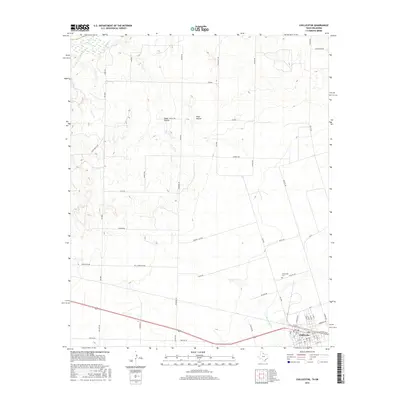
 2019 Chillicothe2019 Print · USGSCovers Chillicothe, including Jackson County, Hardeman County, and other nearby areas
 - 2019 Map of Medicine Mound, 2019 Print
 2019 Medicine Mound2019 Print · USGSCovers Chillicothe, including Medicine Mound, Hardeman County, and other nearby areas
 - 2022 Map of Chillicothe, 2022 Print
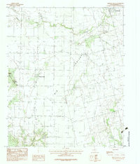
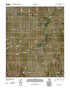
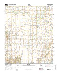
 2022 Chillicothe2022 Print · USGSHardeman County landscape at the start of the 2020s shows the enduring agricultural and rural structure of the North Texas plains. Researchers can trace family history through the locations of the Fredrick Douglas Cem and Chillicothe Cem, or follow the banks of Wanderers Cr and Horse Cr.
 - 2022 Map of Medicine Mound, 2022 Print
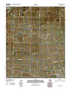
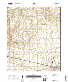
 2022 Medicine Mound2022 Print · USGSHardeman County's agricultural heartland is captured here in the early twenty-first century, showing the rural landscape around the distinctive Medicine Mounds. Genealogists and historians can locate family-named landmarks and quiet burial sites like Old Mounds Cem and Big Valley Cem.
End of results
Showing maps 1-17 of 17
Top cities near Chillicothe
Frequently asked questions
- What are the different types of historical maps available for Chillicothe?
- What is the oldest map of Chillicothe?
- Where can I purchase historical maps of Chillicothe for my home or office?
- Where can I download high-res historical maps of Chillicothe?
- Are there historical topographic maps available for Chillicothe?
- Is there historical aerial imagery available for Chillicothe?
- Where are historical maps of Chillicothe sourced from?