Old Maps of Elmer, Oklahoma
Explore 10 old maps of Elmer, spanning from 1955 to today. These high-resolution historic maps reveal how streets, neighborhoods, landmarks, and natural features evolved over time — perfect for genealogy, metal detecting, research, and local history exploration.
What you can do with these maps:
- See how Elmer changed over time: Compare historical maps to modern-day views to trace roads, homesites, rail lines & more.
- View detailed metadata: Each map includes creators, publishers, year, scale, and archive source.
- Overlay maps with satellite & LiDAR: Visualize the past alongside modern tools to explore terrain & human change.
- Trusted historical sources: Maps sourced from the USGS, Library of Congress, and other archives.
- Access maps your way: View online, download high-res files, or order prints for personal or research use.
Start exploring old maps of Elmer to uncover forgotten places, hidden landmarks, and the deep history beneath your feet.
Elmer, OK maps
(10)- 1955 Map of Lawton, 1958 Print
 1955 Lawton1958 Print · USGSSouthwestern Oklahoma and North Texas are shown here in the mid-fifties, dominated by the Wichita Mountains and the vital Red River watershed. Genealogists and historians can trace the foundations of Lawton alongside rural landmarks like Rainy Mountain Church and Pleasant Hill School.5 unique versions available
 - 1958 Map of Elmer, 1960 Print
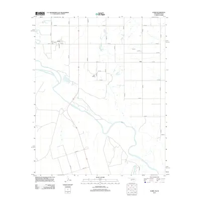
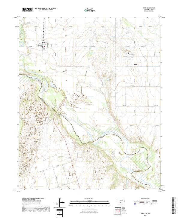
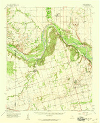 1958 Elmer1960 Print · USGSThe Oklahoma-Texas borderlands are captured here in the late fifties as oil production and ranching shaped the landscape. Researchers can locate vanished rural landmarks like Amerada Camp, the Fargo Oil Field, and the Southside School.2 unique versions available
 - 1975 Map of Elmore City NE
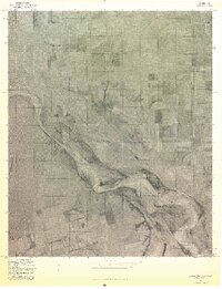 1975 Elmore City NE1975 Print · USGSThe Red River borderlands of Oklahoma and Texas are captured here in the mid-1970s through detailed aerial photography. Researchers can trace the agricultural layout surrounding Elmer and Hess and study the shifting sandbars of the Red River.
 - 1984 Map of Elmer, 1985 Print
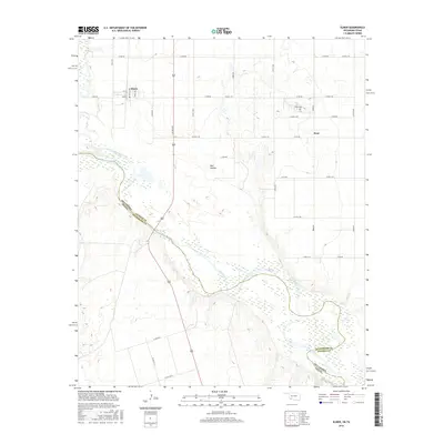
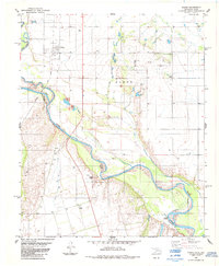 1984 Elmer1985 Print · USGSThe Oklahoma-Texas borderlands come alive in the mid-1980s, centered on the river convergence and rail lines near Elmer. Local historians can trace old landmarks like Doans Crossing, Southside Sch, and the winding Red Hollow.
 - 1986 Map of Vernon
 1986 Vernon1986 Print · USGSNorth Texas and Southern Oklahoma meet along the river in the mid-1980s, revealing a landscape defined by ranching, oil production, and rail transport. Researchers can locate distinct landmarks such as Medicine Mound, the Conley Oil Field, and the community of Punkin Center.
 - 2010 Map of Elmer, 2010 Print
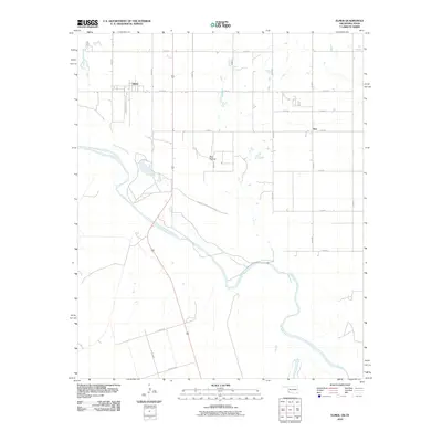 2010 Elmer2010 Print · USGSCovers Elmer, including Hess, Jackson County, and other nearby areas
 - 2012 Map of Elmer, 2012 Print
 2012 Elmer2012 Print · USGSCovers Elmer, including Hess, Jackson County, and other nearby areas
 - 2016 Map of Elmer, 2016 Print
 2016 Elmer2016 Print · USGSCovers Elmer, including Hess, Jackson County, and other nearby areas
 - 2019 Map of Elmer, 2019 Print
 2019 Elmer2019 Print · USGSCovers Elmer, including Hess, Jackson County, and other nearby areas
 - 2022 Map of Elmer, 2022 Print
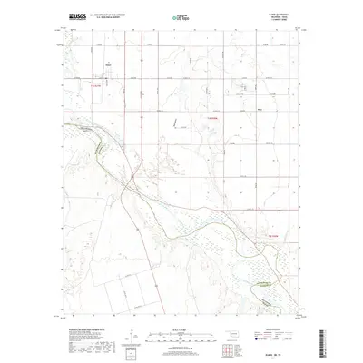
 2022 Elmer2022 Print · USGSJackson County, Oklahoma, sits along the river border with Texas in this contemporary survey of the rural landscape. Genealogists and local historians can trace family ties at the Hess Cem and locate the small settlements of Elmer and Hess near the winding Red River.
End of results
Showing maps 1-10 of 10
Top cities near Elmer
- Altus historical maps
- Tipton historical maps
- Chillicothe historical maps
- Olustee historical maps
- East Duke historical maps
- Headrick historical maps
See more
Frequently asked questions
- What are the different types of historical maps available for Elmer?
- What is the oldest map of Elmer?
- Where can I purchase historical maps of Elmer for my home or office?
- Where can I download high-res historical maps of Elmer?
- Are there historical topographic maps available for Elmer?
- Is there historical aerial imagery available for Elmer?
- Where are historical maps of Elmer sourced from?