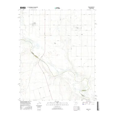
2016 Map of Elmer
USGS Topo · Published 2016About this map
The Red River defines the sweeping border between Oklahoma and Texas, joined by the Salt Fork Red River in a landscape dominated by agriculture and expansive floodplains. Near the northern edge of the map, the small settlement of Elmer is centered on a grid of streets including Main St and Neville Ave. This community represents the quiet rural character of Jackson County, where long, straight section-line roads like E1750 Rd connect isolated homesteads and farms.
Find a feature on this map
30 named features on this map. Tap any name to fly to it.
Don’t see what you’re looking for? This feature index may not catch every label — zoom into the map to look around manually.
Map Details
Editions of this 2016 Elmer Map
This is the sole edition of this map. No revisions or reprints were ever made.
Other maps of this area

1955 · Lawton
USGS Topo · 1:250,000
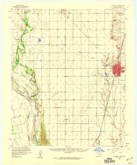
1958 · Frederick
USGS Topo · 1:62,500
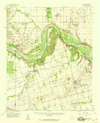
1958 · Elmer
USGS Topo · 1:62,500
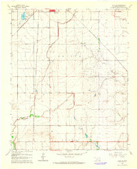
1963 · Altus SE
USGS Topo · 1:24,000
1964 · Tipton
USGS Topo · 1:24,000
1964 · Olustee
USGS Topo · 1:24,000
1975 · Elmore City NE
USGS Topo · 1:24,000
1975 · Frederick SW
USGS Topo · 1:24,000
1975 · Frederick NW
USGS Topo · 1:24,000
1984 · Elmer
USGS Topo · 1:24,000