
1975 Map of Elmore City NE
USGS Topo · Published 1975About this map
The wide, braided channel of the Red River dominates this mid-1970s orthophoto, marking the borderlands of Jackson County. Produced by the Geological Survey from aerial photography taken in February 1975, this map provides a rare visual of the river's complex sandbars and shifting paths before modern vegetation and hydrological changes could alter the view. The small community of Elmer sits in the northwest, while Hess occupies the agricultural lands to the east. The landscape is defined by the rigid geometry of farm plots contrasting against the organic, meandering flow of the river, offering a clear record of rural land use and river morphology during this period.
Find a feature on this map
3 named features on this map. Tap any name to fly to it.
Don’t see what you’re looking for? This feature index may not catch every label — zoom into the map to look around manually.
Map Details
Editions of this 1975 Elmore City NE Map
This is the sole edition of this map. No revisions or reprints were ever made.
Other maps of this area

1955 · Lawton
USGS Topo · 1:250,000

1958 · Frederick
USGS Topo · 1:62,500

1958 · Elmer
USGS Topo · 1:62,500

1963 · Altus SE
USGS Topo · 1:24,000

1964 · Tipton
USGS Topo · 1:24,000

1964 · Olustee
USGS Topo · 1:24,000

1975 · Frederick SW
USGS Topo · 1:24,000

1975 · Frederick NW
USGS Topo · 1:24,000
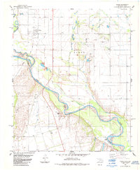
1984 · Elmer
USGS Topo · 1:24,000
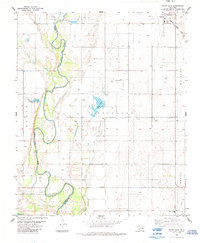
1984 · White Lake
USGS Topo · 1:24,000