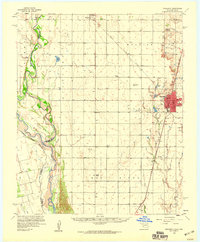
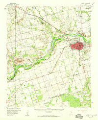
1958 Map of Frederick
USGS Topo · Published 1959About this map
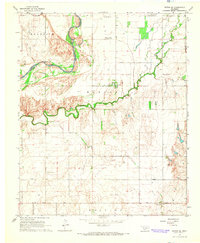
The Red River defines the southwestern boundary of this Tillman County landscape, where the shifting waters separate Oklahoma from Texas. The interior is characterized by a grid of agricultural sections and early energy development, marked by numerous wells and several oil fields that were active during the late 1950s. The regional economy is tied together by the Missouri Kansas Texas and St Louis San Francisco railroads, which converge at Frederick, the area’s primary hub.
Find a feature on this map
39 named features on this map. Tap any name to fly to it.
Don’t see what you’re looking for? This feature index may not catch every label — zoom into the map to look around manually.
Map Details
Editions of this 1958 Frederick Map
This is the sole edition of this map. No revisions or reprints were ever made.
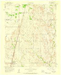
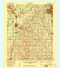
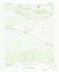
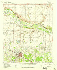
Other maps of this area

1950 · Snyder
USGS Topo · 1:62,500

1955 · Lawton
USGS Topo · 1:250,000
1956 · Manitou
USGS Topo · 1:24,000
1956 · Snyder
USGS Topo · 1:62,500
1958 · Davidson
USGS Topo · 1:62,500
1958 · Vernon
USGS Topo · 1:62,500
1958 · Electra
USGS Topo · 1:62,500
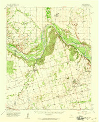
1958 · Elmer
USGS Topo · 1:62,500
1963 · Altus SE
USGS Topo · 1:24,000
1964 · Tipton SE
USGS Topo · 1:24,000