Loading...
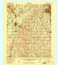
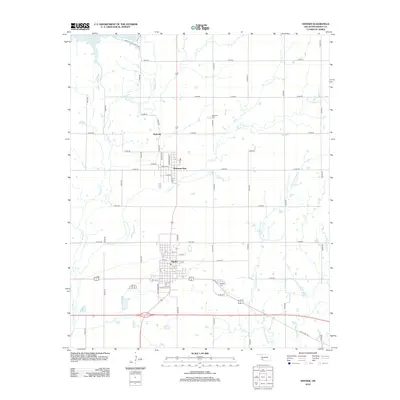
Loading map...1956 Map of Snyder
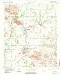
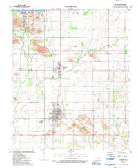
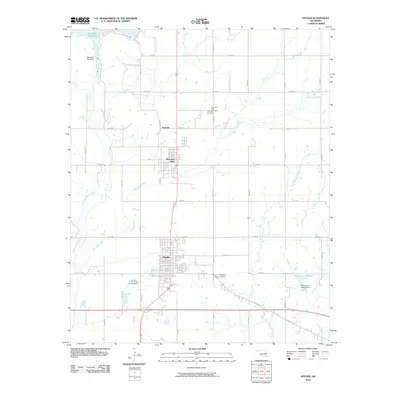
USGS Topo · Published 1960About this map
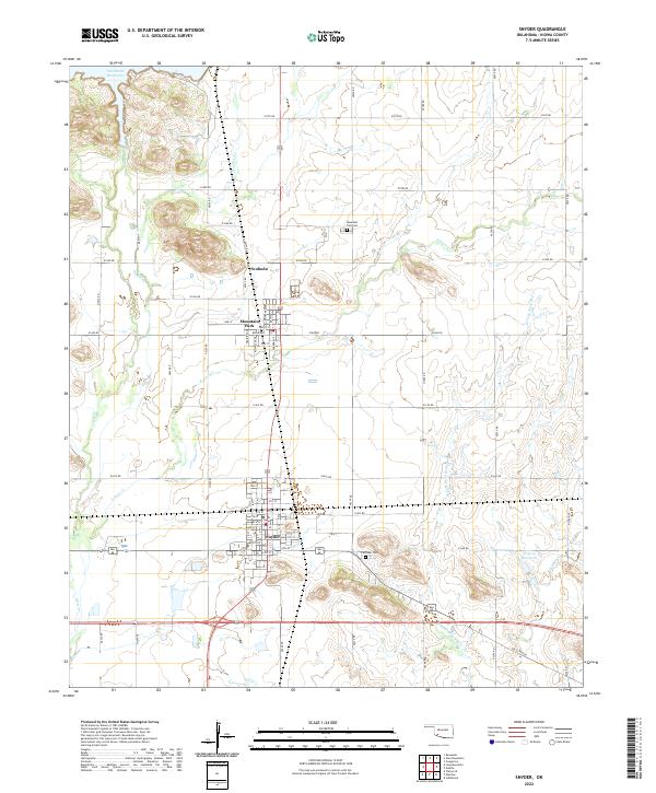
The St Louis-San Francisco railroad serves as the industrial spine of this southwestern Oklahoma landscape, connecting the agricultural hub of Snyder with outlying settlements like Odetta and Indiahoma. To the north, the terrain transitions into the granite outcroppings of the Wichita Mountains, where the Wichita Mountains Wildlife Refuge and peaks like Charons Garden Mountain stand in contrast to the surrounding plains.
Find a feature on this map
36 named features on this map. Tap any name to fly to it.
Don’t see what you’re looking for? This feature index may not catch every label — zoom into the map to look around manually.
Map Details
Date Portrayed1956
Date Published1960
PublisherU.S. Geological Survey
Map TypeTopographic
Scale1:62,500
Physical Dimensions19.1 x 21.3 inches
Editions of this 1956 Snyder Map
This is the sole edition of this map. No revisions or reprints were ever made.
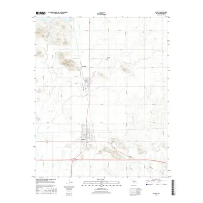
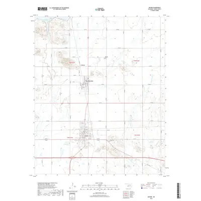
Historical Maps of Snyder Through Time
9 maps found

Featured Locations
Source Details
SourceU.S. Geological Survey
CopyrightPublic Domain