Loading...
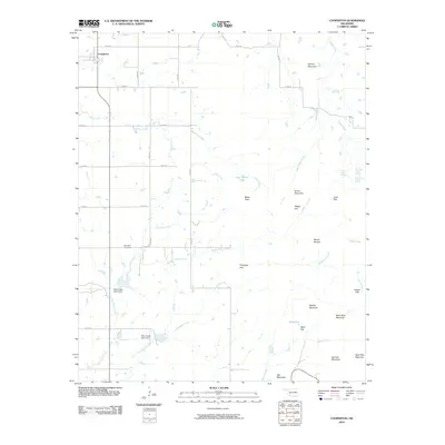
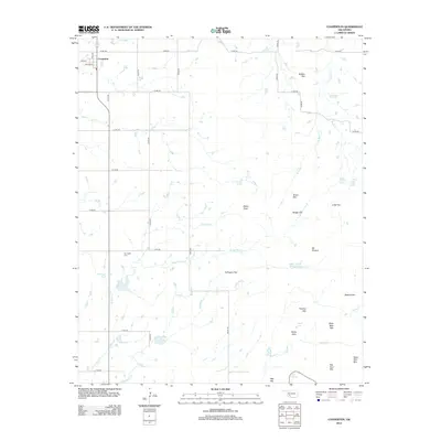
Loading map...1949 Map of Cooperton
USGS Topo · Published 1953About this map
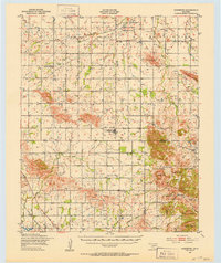
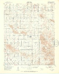
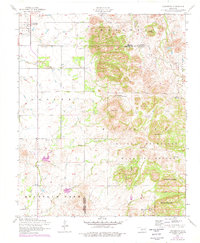
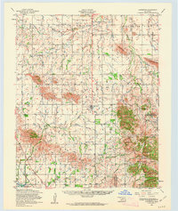
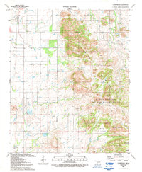
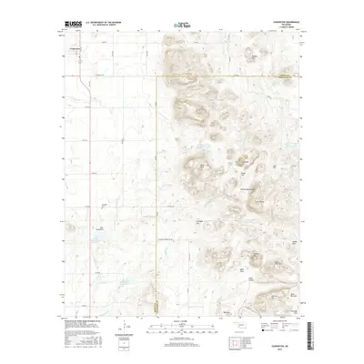
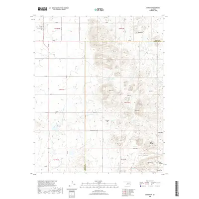
The Rainy Mountain Indian School Reservation anchors the northern portion of this Kiowa County landscape, a region where the plains meeting the southern foothills of the Wichita Mountains. The settlement of Cooperton sits centrally within its namesake township, surrounded by an extensive network of windmills that speak to the agricultural demands of the late 1940s. To the south, the terrain becomes increasingly complex within the Wichita Mountains Wildlife Refuge, featuring prominent elevations like Baker Peak and Mt Pinchot.
Find a feature on this map
38 named features on this map. Tap any name to fly to it.
Don’t see what you’re looking for? This feature index may not catch every label — zoom into the map to look around manually.
Map Details
Date Portrayed1949
Date Published1953
PublisherU.S. Geological Survey
Map TypeTopographic
Scale1:62,500
Physical Dimensions18 x 21.4 inches
Editions of this 1949 Cooperton Map
2 editions found
Historical Maps of Cooperton Through Time
9 maps found

Featured Locations
Source Details
SourceU.S. Geological Survey
CopyrightPublic Domain