
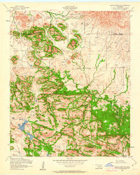
1956 Map of Saddle Mountain
USGS Topo · Published 1959About this map
Saddle Mountain Indian Mission stands at the northern edge of this landscape, marking a site of cultural and spiritual significance in the mid-1950s. The terrain transitions from the open plains of Graham Flat and Antelope Flat into the high granite elevations of the Wichita Mountains Wildlife Refuge. This map illustrates a transition between Kiowa and Comanche Counties, where the water of Medicine Creek and Cache Creek cuts through the rocky highlands.
Find a feature on this map
34 named features on this map. Tap any name to fly to it.
Don’t see what you’re looking for? This feature index may not catch every label — zoom into the map to look around manually.
Map Details
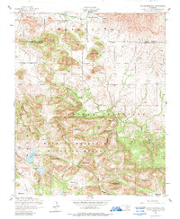
Editions of this 1956 Saddle Mountain Map
3 editions found
Other maps of this area

1937 · Cache
USGS Topo · 1:48,000

1937 · Quanah Mountain
USGS Topo · 1:24,000

1942 · Cache
USGS Topo · 1:62,500

1949 · Mount Scott
USGS Topo · 1:24,000

1949 · Cooperton
USGS Topo · 1:62,500

1949 · Quanah Mountain
USGS Topo · 1:24,000

1950 · Snyder
USGS Topo · 1:62,500

1950 · Saddle Mountain
USGS Topo · 1:62,500

1955 · Lawton
USGS Topo · 1:250,000

1956 · Cooperton
USGS Topo · 1:24,000