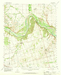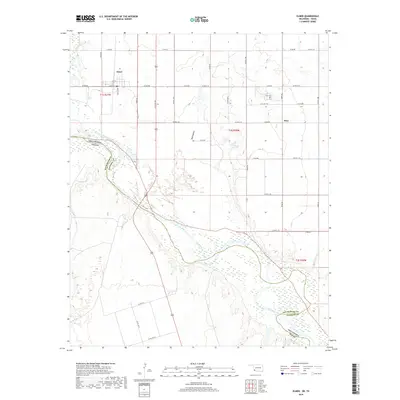
1984 Map of Elmer
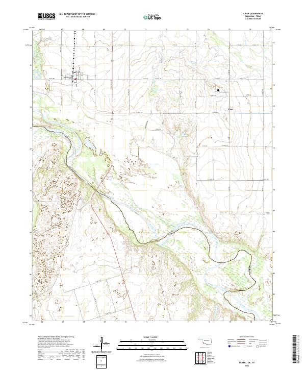
USGS Topo · Published 1985About this map
Red River and the Salt Fork Red River converge in this corner of southwestern Oklahoma, defining a landscape where agriculture and transport meet the shifting sands of the Texas border. The settlement of Elmer serves as a central hub, linked by the Atchison Topeka and Santa Fe railroad line that cuts across the western portion of the map. An Indefinite Boundary along the river highlights the historically complex surveying of this region between Jackson Co, Oklahoma, and Wilbarger Co, Texas.
Find a feature on this map
11 named features on this map. Tap any name to fly to it.
Don’t see what you’re looking for? This feature index may not catch every label — zoom into the map to look around manually.
Map Details
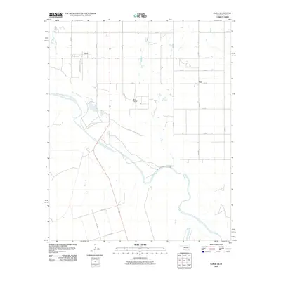
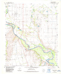
Editions of this 1984 Elmer Map
This is the sole edition of this map. No revisions or reprints were ever made.
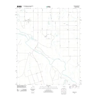
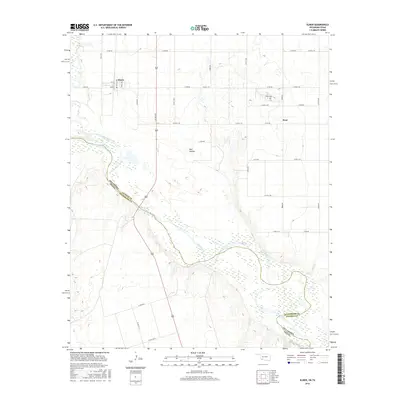
Historical Maps of Elmer Through Time
7 maps found