
1975 Map of Frederick SW
USGS Topo · Published 1975About this map
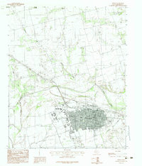
The North Fork Red River dominates the western half of this 1975 aerial orthophotograph, winding in a complex, braided pattern across the Oklahoma-Texas border. This advance print captures the high-contrast textures of the river's sandy bed and meandering channels against the starkly organized agricultural landscape of Tillman County. The imagery reveals the sharp division between the dynamic, shifting fluvial environment and the rigid section-line roads and rectangular fields that define the regional farming economy. In this mid-1970s view, the absence of named towns emphasizes the rural character of the area, focusing instead on the natural hydraulics of the river fork and the systematic land divisions that surround it.
Find a feature on this map
1 named feature on this map. Tap any name to fly to it.
Don’t see what you’re looking for? This feature index may not catch every label — zoom into the map to look around manually.
Map Details
Editions of this 1975 Frederick SW Map
This is the sole edition of this map. No revisions or reprints were ever made.
Other maps of this area

1955 · Lawton
USGS Topo · 1:250,000

1958 · Davidson
USGS Topo · 1:62,500

1958 · Frederick
USGS Topo · 1:62,500

1958 · Vernon
USGS Topo · 1:62,500

1958 · Elmer
USGS Topo · 1:62,500

1975 · Elmore City NE
USGS Topo · 1:24,000

1975 · Frederick NE
USGS Topo · 1:24,000

1975 · Frederick NW
USGS Topo · 1:24,000

1975 · Frederick SE
USGS Topo · 1:24,000
1983 · Vernon
USGS Topo · 1:24,000