Old Maps of Middleburg, Texas for Academic Research
Study the evolution of Middleburg with 10 high-resolution historic maps. Whether you're teaching, researching, or modeling changes in land use, these maps provide essential visual documentation of urban, environmental, and geographic change.
- Analyze long-term change: Track patterns in development, transportation, and natural features.
- Ideal for environmental or urban studies: Support academic projects with primary historical map data.
- Use in the classroom or lab: Educators and researchers rely on these maps to bring historical context to life.
These maps are a powerful tool for teaching, research, and visualizing how Middleburg has changed over the decades.
Middleburg, TX maps
(10)- 1955 Map of Lawton, 1958 Print
 1955 Lawton1958 Print · USGSSouthwestern Oklahoma and North Texas are shown here in the mid-fifties, dominated by the Wichita Mountains and the vital Red River watershed. Genealogists and historians can trace the foundations of Lawton alongside rural landmarks like Rainy Mountain Church and Pleasant Hill School.5 unique versions available
 - 1960 Map of Goodlett, 1962 Print
 1960 Goodlett1962 Print · USGSHardeman County at the dawn of the 1960s was a landscape defined by the Red River and a busy network of converging rail lines. Researchers can trace the layouts of small communities like Goodlett and Punkin Center or locate rural burial grounds including Elba Cem and Johnson Cem.2 unique versions available
 - 1984 Map of Quanah West, 1985 Print
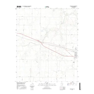
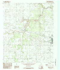 1984 Quanah West1985 Print · USGSHardeman County, Texas, was defined by its railroad arteries and creek drainage systems in the 1980s. Genealogists and local historians can trace the paths of the Burlington Northern Railroad, the settlement at Acme, and the legacy of the Old RR Grade.
 - 1986 Map of Vernon
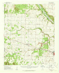
 1986 Vernon1986 Print · USGSNorth Texas and Southern Oklahoma meet along the river in the mid-1980s, revealing a landscape defined by ranching, oil production, and rail transport. Researchers can locate distinct landmarks such as Medicine Mound, the Conley Oil Field, and the community of Punkin Center.
 - 1990 Map of Quanah West, 1995 Print
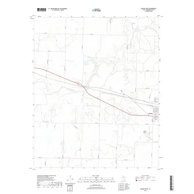
 1990 Quanah West1995 Print · USGSHardeman County's ranching and industrial landscape is captured here in the 1990s as the regional economy centered around Quanah. Researchers can trace the path of Groesbeck Creek through small outposts like Acme and Talbert Crossing.
 - 2010 Map of Quanah West, 2010 Print
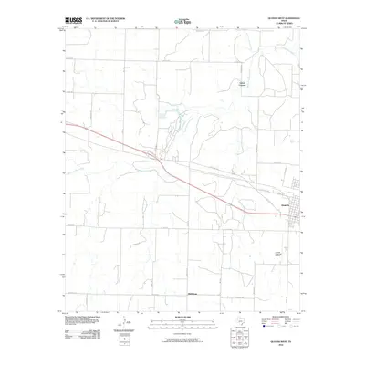 2010 Quanah West2010 Print · USGSCovers Middleburg, including Quanah, Talbert Crossing, and other nearby areas
 - 2012 Map of Quanah West, 2012 Print
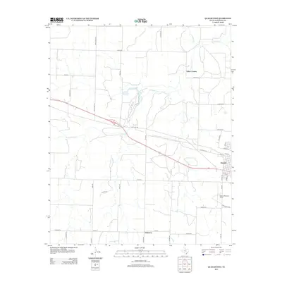 2012 Quanah West2012 Print · USGSCovers Middleburg, including Quanah, Talbert Crossing, and other nearby areas
 - 2016 Map of Quanah West, 2016 Print
 2016 Quanah West2016 Print · USGSCovers Middleburg, including Quanah, Talbert Crossing, and other nearby areas
 - 2019 Map of Quanah West, 2019 Print
 2019 Quanah West2019 Print · USGSCovers Middleburg, including Quanah, Talbert Crossing, and other nearby areas
 - 2022 Map of Quanah West, 2022 Print
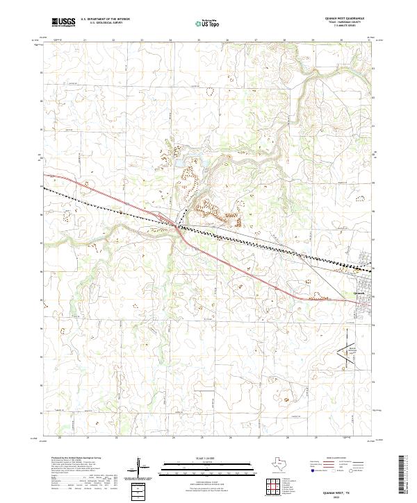 2022 Quanah West2022 Print · USGSHardeman County's ranching and agricultural heartland is captured here in the early twenty-first century as it spreads west from the town of Quanah. Trace the drainage of Groesbeck Cr and locate local landmarks like Quanah Municipal Airport and Georgia Pacific Rd.
End of results
Showing maps 1-10 of 10
Top cities near Middleburg
Frequently asked questions
- What are the different types of historical maps available for Middleburg?
- What is the oldest map of Middleburg?
- Where can I purchase historical maps of Middleburg for my home or office?
- Where can I download high-res historical maps of Middleburg?
- Are there historical topographic maps available for Middleburg?
- Is there historical aerial imagery available for Middleburg?
- Where are historical maps of Middleburg sourced from?