Old Maps of Jasper, Texas
Explore 22 old maps of Jasper, spanning from 1952 to today. These high-resolution historic maps reveal how streets, neighborhoods, landmarks, and natural features evolved over time — perfect for genealogy, metal detecting, research, and local history exploration.
What you can do with these maps:
- See how Jasper changed over time: Compare historical maps to modern-day views to trace roads, homesites, rail lines & more.
- View detailed metadata: Each map includes creators, publishers, year, scale, and archive source.
- Overlay maps with satellite & LiDAR: Visualize the past alongside modern tools to explore terrain & human change.
- Trusted historical sources: Maps sourced from the USGS, Library of Congress, and other archives.
- Access maps your way: View online, download high-res files, or order prints for personal or research use.
Start exploring old maps of Jasper to uncover forgotten places, hidden landmarks, and the deep history beneath your feet.
Jasper, TX maps
(22)- 1952 Map of Lake Charles
 1952 Lake Charles1952 Print · USGSSouthwest Louisiana is captured here in the mid-fifties, showing a landscape defined by the rise of the petrochemical industry and deep-water navigation. Researchers can trace family roots through numerous small-town settlements and oil developments like Nibletts Bluff, the Lockport Oil Field, and Starks.
 - 1954 Map of Lake Charles, 1964 Print
 1954 Lake Charles1964 Print · USGSSouthwest Louisiana in the mid-fifties is defined by its massive petroleum industry and its complex network of bayous and rail lines. Researchers can trace the development of the Sulphur Mines Oil Field or locate historic settlements like Longville and De Quincy.3 unique versions available
 - 1954 Map of Beaumont, 1964 Print
 1954 Beaumont1964 Print · USGSSoutheast Texas in the mid-fifties reveals a landscape of massive national forests, emerging reservoirs, and a booming oil economy. Genealogists and researchers can trace rural settlements like Dallardsville and Village Mills or locate early drilling sites at Sour Lake Oil Field.3 unique versions available
 - 1955 Map of Roganville, 1956 Print
 1955 Roganville1956 Print · USGSDeep in the East Texas piney woods during the mid-fifties, this area shows a landscape of timber-focused rail lines and small country congregations. Researchers can locate family landmarks like Cole Springs Cemetery, Holly Springs, and the Zion Lookout tower.2 unique versions available
 - 1955 Map of Curtis, 1956 Print
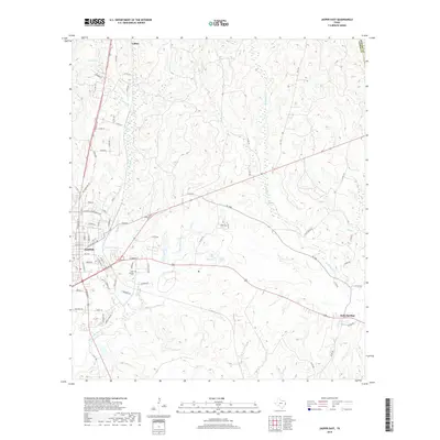
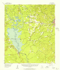 1955 Curtis1956 Print · USGSJasper County is captured here in the mid-fifties just as the landscape was transforming around the Dam B Reservoir. Genealogists can trace family names across a dozen rural burial grounds, from Lanier Cem to Trotti Cem, and locate historical markers like the Bevelport Townsite.3 unique versions available
 - 1957 Map of Beaumont
 1957 Beaumont1957 Print · USGSSoutheast Texas in the mid-fifties is defined by the timber-rich lands between the Trinity River and Beaumont. Trace the history of the Alabama and Coushatti Indian Reservation or locate early campus sites like Prairie View College.
 - 1984 Map of Beaumont
 1984 Beaumont1984 Print · USGSSoutheast Texas in the late seventies and early eighties shows a landscape of expanding reservoirs and deep timber industry. Researchers can trace the development of the Sam Houston National Forest or locate regional landmarks like Grabbs Prairie and the Wynne State Prison Farm.3 unique versions available
 - 1984 Map of Jasper East, 1985 Print
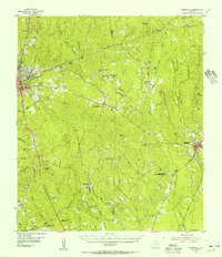
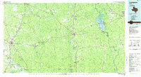
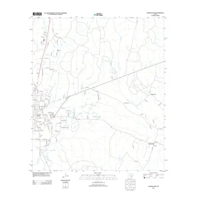
 1984 Jasper East1985 Print · USGSThe city of Jasper during the mid-eighties shows its growth and its relationship with the surrounding piney woods landscape. Genealogists and local historians can trace family locations near Holly Springs, Huff, and the banks of Big Walnut Run.
 - 1984 Map of Jasper West, 1985 Print
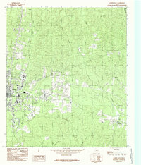
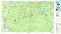
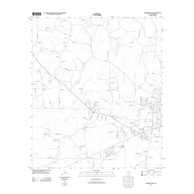
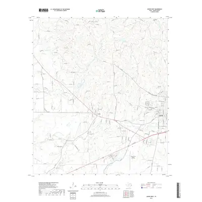
 1984 Jasper West1985 Print · USGSThe western outskirts of Jasper and its surrounding timberlands are captured here in the mid-1980s. Genealogists and local historians can trace family-named locations like Peachtree, Curtis, and the Jasper County-Bell Field airport.
 - 1985 Map of Livingston
 1985 Livingston1985 Print · USGSEast Texas timber and oil country comes to life in the mid-eighties, showing the deep-set river valleys and forests of Polk and Tyler Counties. Researchers can locate family landmarks like Bold Springs Cem, the Alabama and Coushatta Indian Reservation, and the Livingston Oil Field.
 - 1986 Map of DeRidder
 1986 DeRidder1986 Print · USGSThe Louisiana-Texas borderlands come to life in the mid-eighties, showcasing the timber country and rail corridors of the Sabine River valley. Researchers can trace the legacy of small communities and transit lines through Merryville, Holly Springs, and the Missouri Pacific railroad.2 unique versions available
 - 1992 Map of Livingston
 1992 Livingston1992 Print · USGSSoutheast Texas at the start of the nineties reveals a landscape of deep pine forests, oil fields, and historic rural communities. Researchers can locate family landmarks like Holly Grove Cem and Wildwood Sch, or trace the winding Angelina River near B A Steinhagen Lake.
 - 2010 Map of Jasper East, 2010 Print
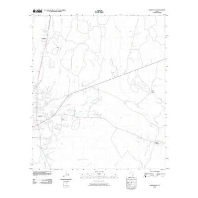 2010 Jasper East2010 Print · USGSCovers Jasper, including Huff Creek, Blox, and other nearby areas
 - 2010 Map of Jasper West, 2010 Print
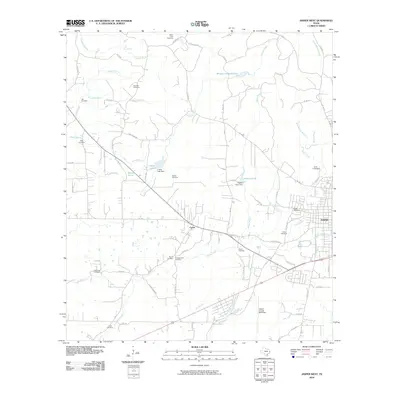 2010 Jasper West2010 Print · USGSCovers Jasper, including Curtis, Jasper County, and other nearby areas
 - 2012 Map of Jasper East, 2012 Print
 2012 Jasper East2012 Print · USGSCovers Jasper, including Huff Creek, Blox, and other nearby areas
 - 2013 Map of Jasper West, 2013 Print
 2013 Jasper West2013 Print · USGSCovers Jasper, including Curtis, Jasper County, and other nearby areas
 - 2016 Map of Jasper East, 2016 Print
 2016 Jasper East2016 Print · USGSCovers Jasper, including Huff Creek, Blox, and other nearby areas
 - 2016 Map of Jasper West, 2016 Print
 2016 Jasper West2016 Print · USGSCovers Jasper, including Curtis, Jasper County, and other nearby areas
 - 2019 Map of Jasper East, 2019 Print
 2019 Jasper East2019 Print · USGSCovers Jasper, including Huff Creek, Blox, and other nearby areas
 - 2019 Map of Jasper West, 2019 Print
 2019 Jasper West2019 Print · USGSCovers Jasper, including Curtis, Jasper County, and other nearby areas
 - 2022 Map of Jasper East, 2022 Print
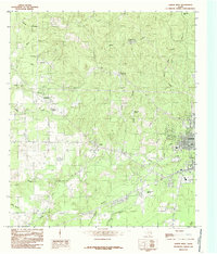
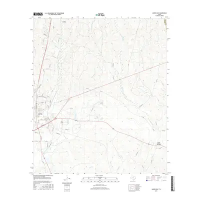
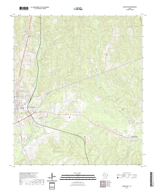 2022 Jasper East2022 Print · USGSJasper and its eastern timberlands are documented in this recent survey of the Deep East Texas landscape. Researchers can locate family burial sites at Cold Springs Cem and Evergreen Cem or trace the rural environs of Holly Springs.
 - 2022 Map of Jasper West, 2022 Print
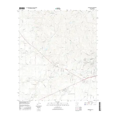
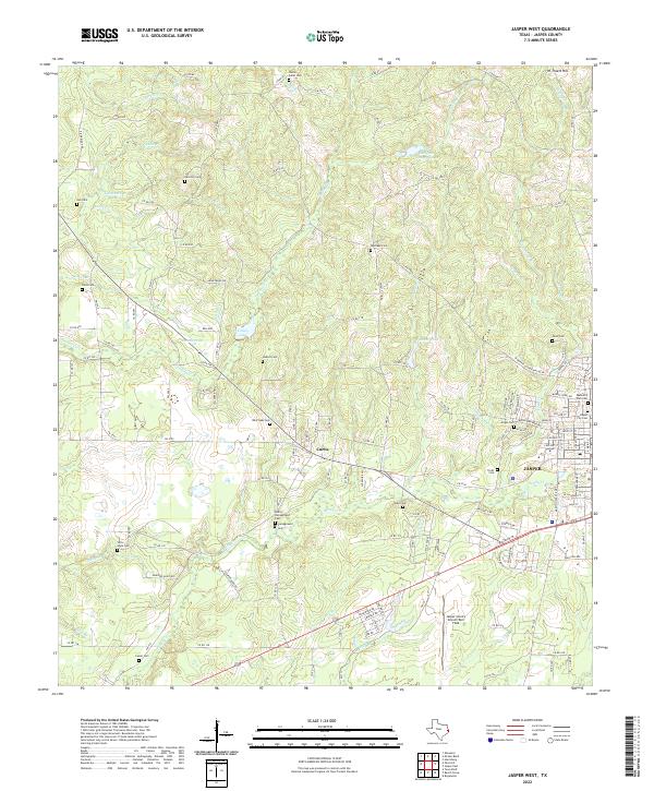 2022 Jasper West2022 Print · USGSWestern Jasper and the community of Curtis are documented here in the early 2020s. Genealogists can locate numerous family burial sites, such as Trotti Cem, Watts-Fuller Cem, and Hadnot Cem, alongside the Jasper County Airport/Bell Field.
End of results
Showing maps 1-22 of 22
Top cities near Jasper
Frequently asked questions
- What are the different types of historical maps available for Jasper?
- What is the oldest map of Jasper?
- Where can I purchase historical maps of Jasper for my home or office?
- Where can I download high-res historical maps of Jasper?
- Are there historical topographic maps available for Jasper?
- Is there historical aerial imagery available for Jasper?
- Where are historical maps of Jasper sourced from?