Old Maps of Bergheim, Texas for Hiking & Exploration
Hike through history with 11 historic maps of Bergheim. Explore old trails, ghost towns, and forgotten backroads — perfect for outdoor adventurers and local explorers.
- Rediscover forgotten places: Map out old mining camps, roads, and footpaths that no longer exist on modern maps.
- Layer with modern tools: Combine with LiDAR or satellite views to plan hikes through historical terrain.
- Made for exploration: Popular among hikers, overlanders, and local history lovers.
Use these maps to find adventure and explore the hidden past of Bergheim.
Bergheim, TX maps
(11)- 1954 Map of San Antonio, 1964 Print
 1954 San Antonio1964 Print · USGSSan Antonio and the Texas Hill Country are captured here in the mid-fifties, showing a landscape defined by massive military air bases and the rising Canyon Reservoir. Trace family ties through historic rail towns like D'Hanis and Castroville or explore the Cold War footprint of Lackland AFB and Randolph AFB.3 unique versions available
 - 1957 Map of Boerne
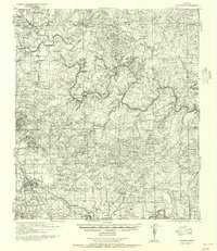 1957 Boerne1957 Print · USGSThe Texas Hill Country around the mid-century shows a network of family ranch-lands and rural schoolhouses. Genealogists can trace family homesteads like E Fischer or Zoeller and locate historic sites such as Cascade Cavern and Bergheim Cemetery.
 - 1957 Map of San Antonio
 1957 San Antonio1957 Print · USGSSan Antonio and the Texas Hill Country are shown here during the mid-fifties, capturing the region's expanding post-war military and transportation footprint. Genealogists and local historians can trace the early residential boundaries of Alamo Heights or locate rural landmarks like St Hedwig and Medina Lake.
 - 1964 Map of Bergheim, 1967 Print
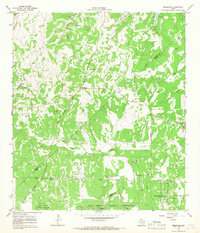 1964 Bergheim1967 Print · USGSThe Texas Hill Country at the intersection of Kendall and Comal counties is captured here in the mid-1960s as rural crossroads began to evolve. Researchers can locate several family burial sites including Willke Cem and Honey Creek Cem, or trace the winding course of Cibolo Creek.2 unique versions available
 - 1985 Map of New Braunfels
 1985 New Braunfels1985 Print · USGSThe Texas Hill Country meets the growing San Antonio suburbs in the mid-1980s, showing a landscape of river-fed towns and military grounds. Trace family roots in historic Gruene or Boerne, and locate landmarks like Canyon Lake and Randolph Air Force Base.
 - 1992 Map of New Braunfels
 1992 New Braunfels1992 Print · USGSThe San Antonio and New Braunfels corridor was expanding rapidly in the early nineties, balancing heavy military presence with Hill Country recreation. Trace the footprint of CAMP BULLIS MILITARY RESERVATION or locate old railroad stops along the Southern Pacific and Missouri Pacific lines.2 unique versions available
 - 2010 Map of Bergheim, 2010 Print
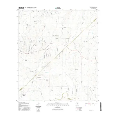
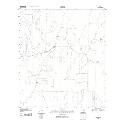 2010 Bergheim2010 Print · USGSCovers Bergheim, including Fair Oaks Ranch, Bulverde, and other nearby areas
 - 2013 Map of Bergheim, 2013 Print
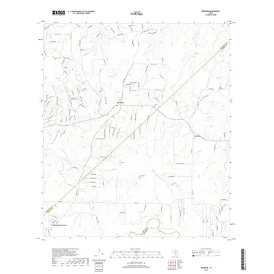
 2013 Bergheim2013 Print · USGSCovers Bergheim, including Fair Oaks Ranch, Bulverde, and other nearby areas
 - 2016 Map of Bergheim, 2016 Print
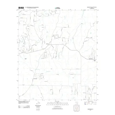
 2016 Bergheim2016 Print · USGSCovers Bergheim, including Fair Oaks Ranch, Bulverde, and other nearby areas
 - 2019 Map of Bergheim, 2019 Print
 2019 Bergheim2019 Print · USGSCovers Bergheim, including Fair Oaks Ranch, Bulverde, and other nearby areas
 - 2022 Map of Bergheim, 2022 Print
 2022 Bergheim2022 Print · USGSTexas hill country life near the Kendall and Comal county line shows a mix of rural ranching roots and newer suburban growth. Genealogists can trace family footprints at Saur Cem, Kruckemeier Cem, or the complex at Saint Joseph Honey Creek Cem.
End of results
Showing maps 1-11 of 11
Top cities near Bergheim
- San Antonio historical maps
- Boerne historical maps
- Helotes historical maps
- Fair Oaks Ranch historical maps
- Bulverde historical maps
- Hollywood Park historical maps
See more
Frequently asked questions
- What are the different types of historical maps available for Bergheim?
- What is the oldest map of Bergheim?
- Where can I purchase historical maps of Bergheim for my home or office?
- Where can I download high-res historical maps of Bergheim?
- Are there historical topographic maps available for Bergheim?
- Is there historical aerial imagery available for Bergheim?
- Where are historical maps of Bergheim sourced from?