Old Maps of Clardy, Texas for Genealogy
Trace your family roots with 10 historic maps of Clardy. These high-res maps reveal old neighborhoods, homesites, landmarks, and streets — helping you uncover where your ancestors lived and how the area evolved over time.
- Explore historic neighborhoods: Identify where your relatives may have lived in the 1800s or 1900s.
- Compare maps over time: Trace the changes in streets, buildings, and landmarks for multi-generational research.
- Perfect for genealogy & ancestry research: Used by family historians and researchers to map out lineage and migration.
These maps are an incredible resource for exploring your personal connection to Clardy's past.
Clardy, TX maps
(10)- 1953 Map of Texarkana, 1964 Print
 1953 Texarkana1964 Print · USGSThe Texas-Arkansas borderlands are captured here in the mid-fifties, during a decade of massive military and hydraulic engineering projects. Genealogists and researchers can locate family landmarks like Old Boston Cem, Siloam Ch, and the vast Red River Arsenal.4 unique versions available
 - 1956 Map of Texarkana
 1956 Texarkana1956 Print · USGSThe Ark-La-Tex borderlands come alive in the mid-fifties, showing the transition from a rail-dependent rural economy to a post-war industrial landscape. Researchers can trace the massive Red River Ordnance Depot and find towns like Talco, Bogata, and Naples.
 - 1964 Map of Pattonville, 1967 Print
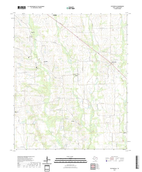
 1964 Pattonville1967 Print · USGSLamar County's rural communities and creek-side settlements are captured here in the mid-1960s. Genealogists and local historians can trace family roots through landmarks like Biardstown Cem, the Plainview Community Hall, and the Old Railroad Grade that once spanned the county.
 - 1985 Map of Paris
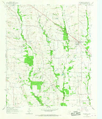
 1985 Paris1985 Print · USGSThe Red River Valley in the mid-eighties shows a landscape of military training grounds and rail-connected agricultural towns. Genealogists and historians can trace local landmarks like Allens Chapel Cem, the grounds of Camp Maxey, and the early footprint of Paris Junior College.
 - 1991 Map of Paris
 1991 Paris1991 Print · USGSNorthern Texas and southern Oklahoma meet along the Red River valley during the early nineties. Researchers can trace the rail networks of the Texas and Pacific RR and visit rural communities like Manchester, Sylvan, and Arthur City.
 - 2010 Map of Pattonville, 2010 Print
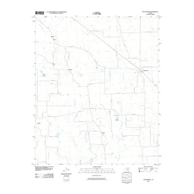 2010 Pattonville2010 Print · USGSCovers Clardy, including Paris, Marvin, and other nearby areas
 - 2013 Map of Pattonville, 2013 Print
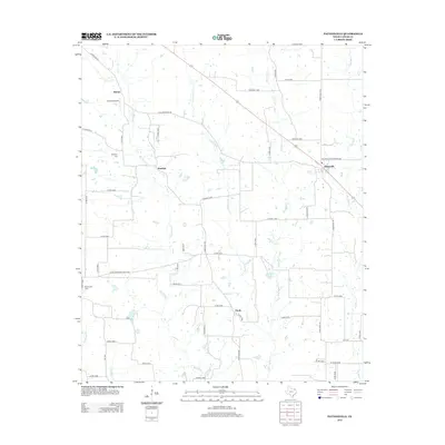 2013 Pattonville2013 Print · USGSCovers Clardy, including Paris, Marvin, and other nearby areas
 - 2016 Map of Pattonville, 2016 Print
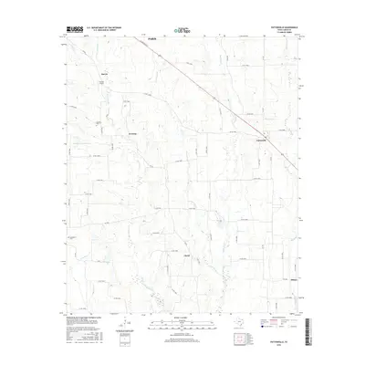 2016 Pattonville2016 Print · USGSCovers Clardy, including Paris, Marvin, and other nearby areas
 - 2019 Map of Pattonville, 2019 Print
 2019 Pattonville2019 Print · USGSCovers Clardy, including Paris, Marvin, and other nearby areas
 - 2022 Map of Pattonville, 2022 Print
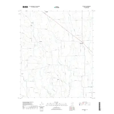
 2022 Pattonville2022 Print · USGSLamar County's rural ranching and farming communities are documented here as they appeared in the early 2020s. Genealogists can locate family landmarks like Biardstown Cem and Shady Grove Cem or trace the winding course of Big Sandy Cr.
End of results
Showing maps 1-10 of 10
Top cities near Clardy
- Paris historical maps
- Reno historical maps
- Blossom historical maps
- Bogata historical maps
- Detroit historical maps
- Tira historical maps
See more
Frequently asked questions
- What are the different types of historical maps available for Clardy?
- What is the oldest map of Clardy?
- Where can I purchase historical maps of Clardy for my home or office?
- Where can I download high-res historical maps of Clardy?
- Are there historical topographic maps available for Clardy?
- Is there historical aerial imagery available for Clardy?
- Where are historical maps of Clardy sourced from?