Old Maps of Lone Oak, Texas for Academic Research
Study the evolution of Lone Oak with 10 high-resolution historic maps. Whether you're teaching, researching, or modeling changes in land use, these maps provide essential visual documentation of urban, environmental, and geographic change.
- Analyze long-term change: Track patterns in development, transportation, and natural features.
- Ideal for environmental or urban studies: Support academic projects with primary historical map data.
- Use in the classroom or lab: Educators and researchers rely on these maps to bring historical context to life.
These maps are a powerful tool for teaching, research, and visualizing how Lone Oak has changed over the decades.
Lone Oak, TX maps
(10)- 1953 Map of Texarkana, 1964 Print
 1953 Texarkana1964 Print · USGSThe Texas-Arkansas borderlands are captured here in the mid-fifties, during a decade of massive military and hydraulic engineering projects. Genealogists and researchers can locate family landmarks like Old Boston Cem, Siloam Ch, and the vast Red River Arsenal.4 unique versions available
 - 1956 Map of Texarkana
 1956 Texarkana1956 Print · USGSThe Ark-La-Tex borderlands come alive in the mid-fifties, showing the transition from a rail-dependent rural economy to a post-war industrial landscape. Researchers can trace the massive Red River Ordnance Depot and find towns like Talco, Bogata, and Naples.
 - 1963 Map of Cunningham, 1964 Print
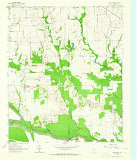 1963 Cunningham1964 Print · USGSNortheast Texas river country in the early sixties reveals a landscape shaped by the meeting of the North and South Sulphur Rivers. Researchers can locate family landmarks like Restland Cem and Morris Chapel Cem near the historic settlements of Cunningham and Halesboro.
 - 1985 Map of Sulphur Springs
 1985 Sulphur Springs1985 Print · USGSNortheast Texas in the mid-eighties shows a landscape transitioning between its deep-rooted rail towns and a new era of reservoir development. Genealogists and historians can trace family locations near Shooks Chapel, the rural Farmers Academy, and the banks of the South Sulphur River.
 - 1991 Map of Sulphur Springs
 1991 Sulphur Springs1991 Print · USGSNortheast Texas in the early nineties shows a transition from rail-dependent agriculture to a landscape defined by massive reservoirs. Researchers can trace rural lineages through sites like Gafford Chapel and the Forest Academy Cem, or follow the path of the St Louis Southwestern RR.
 - 2010 Map of Cunningham, 2010 Print
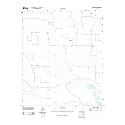 2010 Cunningham2010 Print · USGSCovers Lone Oak, including Halesboro, Rugby, and other nearby areas
 - 2013 Map of Cunningham, 2013 Print
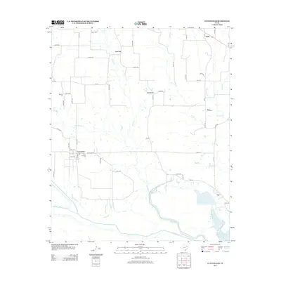 2013 Cunningham2013 Print · USGSCovers Lone Oak, including Halesboro, Rugby, and other nearby areas
 - 2016 Map of Cunningham, 2016 Print
 2016 Cunningham2016 Print · USGSCovers Lone Oak, including Halesboro, Rugby, and other nearby areas
 - 2019 Map of Cunningham, 2019 Print
 2019 Cunningham2019 Print · USGSCovers Lone Oak, including Halesboro, Rugby, and other nearby areas
 - 2022 Map of Cunningham, 2022 Print
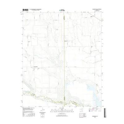
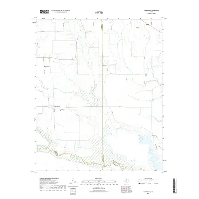
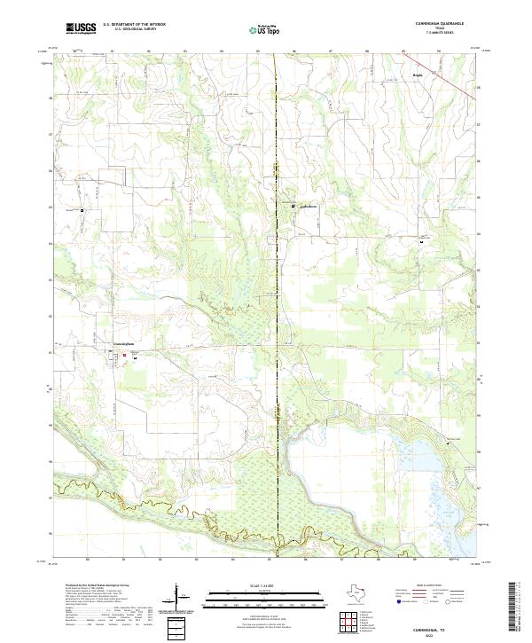 2022 Cunningham2022 Print · USGSLamar and Red River counties meet at the Sulphur River forks in this contemporary look at the rural Texas plains. Researchers can trace local heritage through numerous community burial sites like Restland Cem, Halesboro Cem, and McCrury Cem.
End of results
Showing maps 1-10 of 10
Top cities near Lone Oak
- Paris historical maps
- Clarksville historical maps
- Reno historical maps
- Blossom historical maps
- Bogata historical maps
- Detroit historical maps
See more
Frequently asked questions
- What are the different types of historical maps available for Lone Oak?
- What is the oldest map of Lone Oak?
- Where can I purchase historical maps of Lone Oak for my home or office?
- Where can I download high-res historical maps of Lone Oak?
- Are there historical topographic maps available for Lone Oak?
- Is there historical aerial imagery available for Lone Oak?
- Where are historical maps of Lone Oak sourced from?