Old Maps of North Salem, Texas for Academic Research
Study the evolution of North Salem with 10 high-resolution historic maps. Whether you're teaching, researching, or modeling changes in land use, these maps provide essential visual documentation of urban, environmental, and geographic change.
- Analyze long-term change: Track patterns in development, transportation, and natural features.
- Ideal for environmental or urban studies: Support academic projects with primary historical map data.
- Use in the classroom or lab: Educators and researchers rely on these maps to bring historical context to life.
These maps are a powerful tool for teaching, research, and visualizing how North Salem has changed over the decades.
North Salem, TX maps
(10)- 1954 Map of Waco, 1964 Print
 1954 Waco1964 Print · USGSCentral Texas during the mid-fifties shows a landscape defined by the expansion of Fort Hood Military Reservation and the Brazos river system. Trace the rail lines and early airfields like James Connally Air Force Base and settlements like Temple or McGregor.2 unique versions available
 - 1955 Map of Waco
 1955 Waco1955 Print · USGSCentral Texas at the peak of the Cold War reveals a landscape defined by military expansion and major water projects. Researchers can trace the footprints of Fort Hood, the waters of Lake Waco, and regional hubs like Temple or Mexia.
 - 1956 Map of Jewett
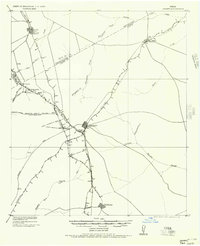 1956 Jewett1956 Print · USGSLeon and Freestone counties emerge as a vital rail and mining hub in this early twentieth-century survey. Genealogists and historians can trace the growth of settlements like Jewett and Buffalo, or locate defunct stops such as Newly and the Evansville Coal Spur.
 - 1965 Map of Robbins, 1967 Print
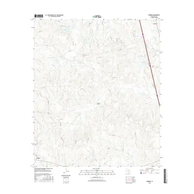
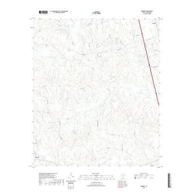
 1965 Robbins1967 Print · USGSLeon County's rural landscape is captured here in the mid-1960s, showing a transition toward energy extraction. Family historians can trace local roots at Old Upton Cemetery and Liberty Cemetery or locate the site of Mount Lily Church.2 unique versions available
 - 1985 Map of Marlin
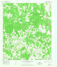
 1985 Marlin1985 Print · USGSMid-century Texas agriculture and transit converge here during the mid-1980s, centered on the Brazos River corridor. Genealogists can locate family sites near Tidwell Prairie or trace the Missouri Pacific RR through Bremond and Kosse.2 unique versions available
 - 2010 Map of Robbins, 2010 Print
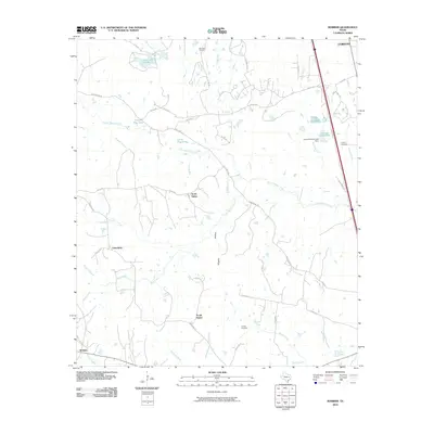 2010 Robbins2010 Print · USGSCovers North Salem, including Friendship, South Salem, and other nearby areas
 - 2013 Map of Robbins, 2013 Print
 2013 Robbins2013 Print · USGSCovers North Salem, including Friendship, South Salem, and other nearby areas
 - 2016 Map of Robbins, 2016 Print
 2016 Robbins2016 Print · USGSCovers North Salem, including Friendship, South Salem, and other nearby areas
 - 2019 Map of Robbins, 2019 Print
 2019 Robbins2019 Print · USGSCovers North Salem, including Friendship, South Salem, and other nearby areas
 - 2022 Map of Robbins, 2022 Print
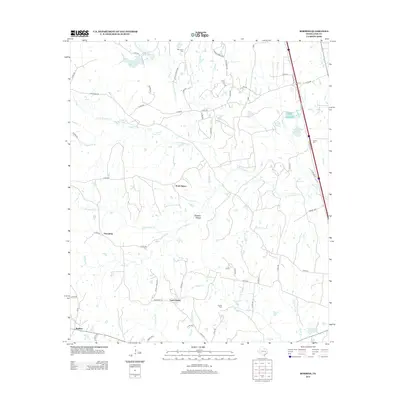
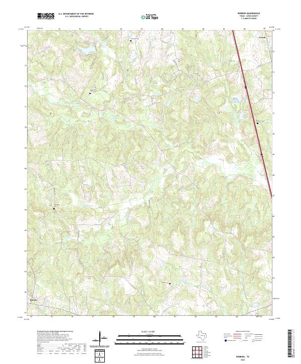 2022 Robbins2022 Print · USGSLeon County, Texas, reveals its rural character in the early twenty-first century, showing a landscape defined by family legacies and creek drainages. Researchers can locate family landmarks like the Simon White Family Cem or trace the water levels of Upper Flag Pond and Lower Flag Pond.
End of results
Showing maps 1-10 of 10
Top cities near North Salem
- Buffalo historical maps
- Centerville historical maps
- Jewett historical maps
- Marquez historical maps
- Leona historical maps
Frequently asked questions
- What are the different types of historical maps available for North Salem?
- What is the oldest map of North Salem?
- Where can I purchase historical maps of North Salem for my home or office?
- Where can I download high-res historical maps of North Salem?
- Are there historical topographic maps available for North Salem?
- Is there historical aerial imagery available for North Salem?
- Where are historical maps of North Salem sourced from?