Old Maps of Cottonwood, Texas for Academic Research
Study the evolution of Cottonwood with 12 high-resolution historic maps. Whether you're teaching, researching, or modeling changes in land use, these maps provide essential visual documentation of urban, environmental, and geographic change.
- Analyze long-term change: Track patterns in development, transportation, and natural features.
- Ideal for environmental or urban studies: Support academic projects with primary historical map data.
- Use in the classroom or lab: Educators and researchers rely on these maps to bring historical context to life.
These maps are a powerful tool for teaching, research, and visualizing how Cottonwood has changed over the decades.
Cottonwood, TX maps
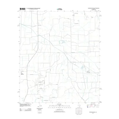
(12)- 1943 Map of Whites Bayou
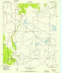 1943 Whites Bayou1943 Print · USGSTexas coastal prairie life comes into focus during the early 1940s, showing the intersection of ranching, rice farming, and the oil industry. Genealogists and historians can trace the Hankamer Oil Field and the Abshier Cem near Hankamer.
 - 1950 Map of Houston, 1953 Print
 1950 Houston1953 Print · USGSCoastal Texas in the early fifties reveals a landscape of massive civil engineering and industrial transit. Genealogists and researchers can trace the growth of the Houston suburbs and the maritime infrastructure of Galveston Bay, including the Gulf Freeway and the Texas City Dike.
 - 1956 Map of Houston, 1963 Print
 1956 Houston1963 Print · USGSSoutheast Texas in the mid-fifties is captured here as a powerhouse of oil and maritime trade. Genealogists and historians can trace the foundations of Houston and its ports, alongside landmarks like the Rice Institute and the Spindletop Oil Field.2 unique versions available
 - 1961 Map of Whites Bayou, 1964 Print
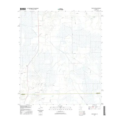
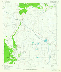 1961 Whites Bayou1964 Print · USGSCoastal Texas ranching and rice farming come to life in the early 1960s as irrigation canals reshape the Liberty and Chambers county line. Genealogists can locate several family burial grounds, including Sahara Cem and Freeman Cem, alongside landmarks like Sparks and the Rice Belt Road.
 - 1975 Map of Houston, 1977 Print
 1975 Houston1977 Print · USGSThe Texas Gulf Coast in the mid-seventies shows a sprawling Houston metropolis linked to the sea by the massive Houston Ship Channel. Researchers can trace the mid-century industrial landscape from the Astrodome to the Lyndon B. Johnson Space Center.2 unique versions available
 - 1983 Map of Anahuac
 1983 Anahuac1983 Print · USGSThe Upper Texas Coast and its energy-driven landscape are detailed here in the early eighties. Genealogists and historians can trace coastal settlements like Anahuac and Winnie alongside the storied Spindletop Oil Field and the Anahuac National Wildlife Refuge.2 unique versions available
 - 1994 Map of Whites Bayou
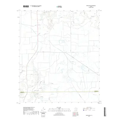
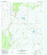 1994 Whites Bayou1994 Print · USGSThe rural landscape of Liberty County is captured here in the early nineties, showing the balance between coastal agriculture and water management. Researchers can trace the path of Whites Bayou and locate the settlement of Devers amidst a complex network of irrigation canals.
 - 2010 Map of Whites Bayou, 2010 Print
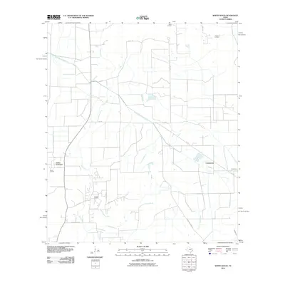 2010 Whites Bayou2010 Print · USGSCovers Cottonwood, including Abshier Settlement, Liberty County, and other nearby areas
 - 2013 Map of Whites Bayou, 2013 Print
 2013 Whites Bayou2013 Print · USGSCovers Cottonwood, including Abshier Settlement, Liberty County, and other nearby areas
 - 2016 Map of Whites Bayou, 2016 Print
 2016 Whites Bayou2016 Print · USGSCovers Cottonwood, including Abshier Settlement, Liberty County, and other nearby areas
 - 2019 Map of Whites Bayou, 2019 Print
 2019 Whites Bayou2019 Print · USGSCovers Cottonwood, including Abshier Settlement, Liberty County, and other nearby areas
 - 2022 Map of Whites Bayou, 2022 Print
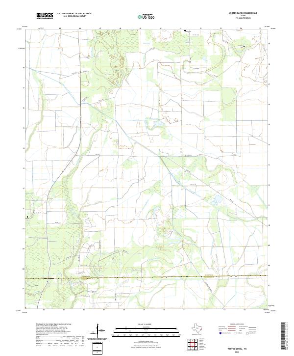 2022 Whites Bayou2022 Print · USGSLiberty and Chambers counties are documented here in the early 2020s, showing a coastal landscape defined by bayous and irrigation canals. Researchers can trace family sites at Sahara Cem and Abshier Cem or follow the paths of Whites Bayou and Crooked Bayou.
End of results
Showing maps 1-12 of 12
Top cities near Cottonwood
- Liberty historical maps
- Winnie historical maps
- Anahuac historical maps
- Sour Lake historical maps
- Daisetta historical maps
- China historical maps
See more
Frequently asked questions
- What are the different types of historical maps available for Cottonwood?
- What is the oldest map of Cottonwood?
- Where can I purchase historical maps of Cottonwood for my home or office?
- Where can I download high-res historical maps of Cottonwood?
- Are there historical topographic maps available for Cottonwood?
- Is there historical aerial imagery available for Cottonwood?
- Where are historical maps of Cottonwood sourced from?