Old Maps of Kosse, Texas
Explore 15 old maps of Kosse, spanning from 1954 to today. These high-resolution historic maps reveal how streets, neighborhoods, landmarks, and natural features evolved over time — perfect for genealogy, metal detecting, research, and local history exploration.
What you can do with these maps:
- See how Kosse changed over time: Compare historical maps to modern-day views to trace roads, homesites, rail lines & more.
- View detailed metadata: Each map includes creators, publishers, year, scale, and archive source.
- Overlay maps with satellite & LiDAR: Visualize the past alongside modern tools to explore terrain & human change.
- Trusted historical sources: Maps sourced from the USGS, Library of Congress, and other archives.
- Access maps your way: View online, download high-res files, or order prints for personal or research use.
Start exploring old maps of Kosse to uncover forgotten places, hidden landmarks, and the deep history beneath your feet.
Kosse, TX maps
(15)- 1954 Map of Waco, 1964 Print
 1954 Waco1964 Print · USGSCentral Texas during the mid-fifties shows a landscape defined by the expansion of Fort Hood Military Reservation and the Brazos river system. Trace the rail lines and early airfields like James Connally Air Force Base and settlements like Temple or McGregor.2 unique versions available
 - 1955 Map of Waco
 1955 Waco1955 Print · USGSCentral Texas at the peak of the Cold War reveals a landscape defined by military expansion and major water projects. Researchers can trace the footprints of Fort Hood, the waters of Lake Waco, and regional hubs like Temple or Mexia.
 - 1965 Map of Kosse West, 1969 Print
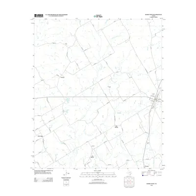
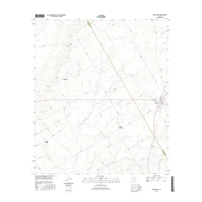
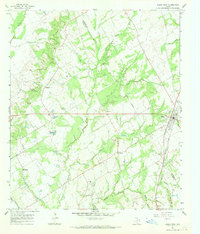 1965 Kosse West1969 Print · USGSThe rural border of Falls and Limestone counties comes to life in the mid-1960s, showing a landscape of small farming communities and country roads. Genealogists can trace old family sites near Antioch Cem, Alto Springs, and the Southern Pacific rail line.
 - 1966 Map of Kosse East, 1969 Print
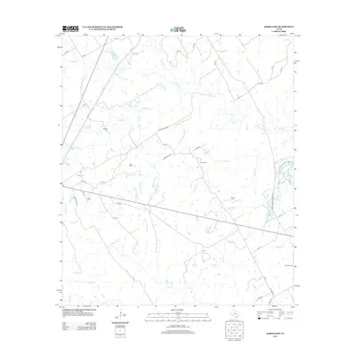
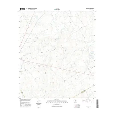
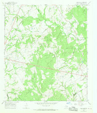 1966 Kosse East1969 Print · USGSThe community of Kosse and the Southern Pacific rail line define this central Texas landscape during the mid-1960s. Genealogists and local historians can trace numerous rural burial grounds and sanctuaries, including Eutaw Cem, Shady Grove Ch, and Buttrill Cem.2 unique versions available
 - 1985 Map of Marlin
 1985 Marlin1985 Print · USGSMid-century Texas agriculture and transit converge here during the mid-1980s, centered on the Brazos River corridor. Genealogists can locate family sites near Tidwell Prairie or trace the Missouri Pacific RR through Bremond and Kosse.2 unique versions available
 - 2010 Map of Kosse West, 2010 Print
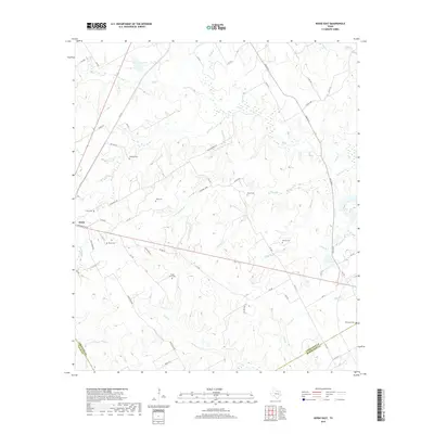
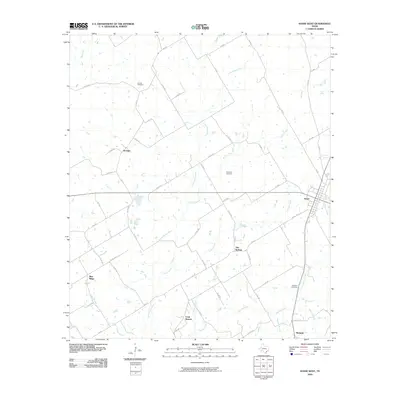 2010 Kosse West2010 Print · USGSCovers Kosse, including Stranger, Long Branch, and other nearby areas
 - 2010 Map of Kosse East, 2010 Print
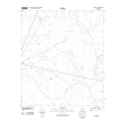 2010 Kosse East2010 Print · USGSCovers Kosse, including Limestone County, Falls County, and other nearby areas
 - 2013 Map of Kosse East, 2013 Print
 2013 Kosse East2013 Print · USGSCovers Kosse, including Limestone County, Falls County, and other nearby areas
 - 2013 Map of Kosse West, 2013 Print
 2013 Kosse West2013 Print · USGSCovers Kosse, including Stranger, Long Branch, and other nearby areas
 - 2016 Map of Kosse West, 2016 Print
 2016 Kosse West2016 Print · USGSCovers Kosse, including Stranger, Long Branch, and other nearby areas
 - 2016 Map of Kosse East, 2016 Print
 2016 Kosse East2016 Print · USGSCovers Kosse, including Limestone County, Falls County, and other nearby areas
 - 2019 Map of Kosse East, 2019 Print
 2019 Kosse East2019 Print · USGSCovers Kosse, including Limestone County, Falls County, and other nearby areas
 - 2019 Map of Kosse West, 2019 Print
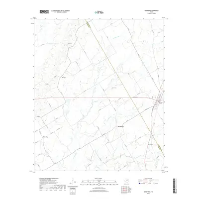 2019 Kosse West2019 Print · USGSCovers Kosse, including Stranger, Long Branch, and other nearby areas
 - 2022 Map of Kosse East, 2022 Print
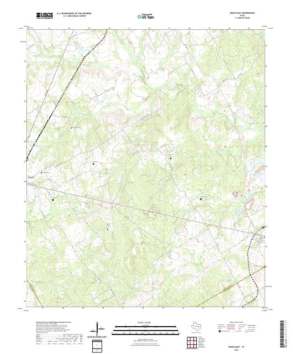 2022 Kosse East2022 Print · USGSLimestone County's rural heartland is captured here in the early 2020s, showing the enduring settlement patterns around Kosse. Genealogists can locate several historic burial sites, including Eutaw Cem, King Williams Cem, and Ebenezer Cem among the creek valleys.
 - 2022 Map of Kosse West, 2022 Print
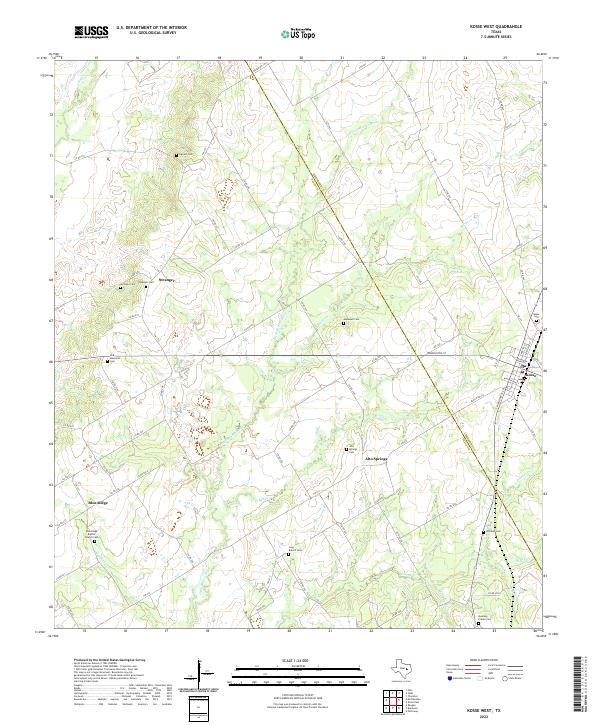 2022 Kosse West2022 Print · USGSThe rural borderlands of Falls and Limestone Counties are captured here in the early twenty-first century. Genealogists can trace family sites at Stranger Cem, Mustang Prairie Cem, and Blue Ridge Baptist Church among the tributaries of the Little Brazos River.
End of results
Showing maps 1-15 of 15
Top cities near Kosse
Frequently asked questions
- What are the different types of historical maps available for Kosse?
- What is the oldest map of Kosse?
- Where can I purchase historical maps of Kosse for my home or office?
- Where can I download high-res historical maps of Kosse?
- Are there historical topographic maps available for Kosse?
- Is there historical aerial imagery available for Kosse?
- Where are historical maps of Kosse sourced from?