Old Maps of Follett, Texas for Academic Research
Study the evolution of Follett with 9 high-resolution historic maps. Whether you're teaching, researching, or modeling changes in land use, these maps provide essential visual documentation of urban, environmental, and geographic change.
- Analyze long-term change: Track patterns in development, transportation, and natural features.
- Ideal for environmental or urban studies: Support academic projects with primary historical map data.
- Use in the classroom or lab: Educators and researchers rely on these maps to bring historical context to life.
These maps are a powerful tool for teaching, research, and visualizing how Follett has changed over the decades.
Follett, TX maps
(9)- 1954 Map of Perryton, 1966 Print
 1954 Perryton1966 Print · USGSThe High Plains of the Texas and Oklahoma panhandles are shown during a period of steady growth in the mid-1950s. Genealogists and researchers can trace rail history and local landmarks like Panhandle A & M College, Spurlock Chapel, and the isolated Lord Station.3 unique versions available
 - 1958 Map of Perryton
 1958 Perryton1958 Print · USGSThe Oklahoma Panhandle and Texas borderlands come alive in this mid-century survey, showing the vital rail-and-ranch economy of the High Plains. Researchers can trace historic stops along the Chicago Rock Island and Pacific and locate rural landmarks like Bethel Church and Spurlock Chapel.
 - 1972 Map of Follett, 1974 Print
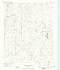 1972 Follett1974 Print · USGSFollett and the northeastern Texas Panhandle are captured here in the early seventies as the local energy economy expanded along the rail lines. Genealogists and historians can trace the town’s development near St Johns Ch, Fairview Cem, and the Atchison Topeka and Santa Fe railroad.
 - 1986 Map of Perryton
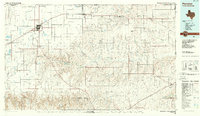 1986 Perryton1986 Print · USGSThe High Plains and canyon breaks of the Texas Panhandle are captured here in the mid-eighties, showing the region's vital energy and rail corridors. Trace the path of the Atchison Topeka and Santa Fe through Perryton and Booker or locate remote rural outposts like Lipscomb and Higgins.
 - 2010 Map of Follett, 2010 Print
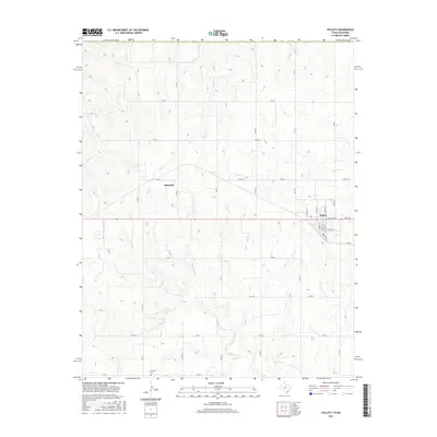
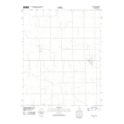 2010 Follett2010 Print · USGSCovers Follett, including Sherlock, Beaver County, and other nearby areas
 - 2012 Map of Follett, 2012 Print
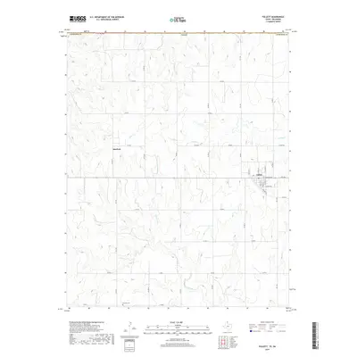
 2012 Follett2012 Print · USGSCovers Follett, including Sherlock, Beaver County, and other nearby areas
 - 2016 Map of Follett, 2016 Print
 2016 Follett2016 Print · USGSCovers Follett, including Sherlock, Beaver County, and other nearby areas
 - 2019 Map of Follett, 2019 Print
 2019 Follett2019 Print · USGSCovers Follett, including Sherlock, Beaver County, and other nearby areas
 - 2022 Map of Follett, 2022 Print
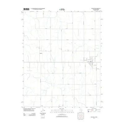
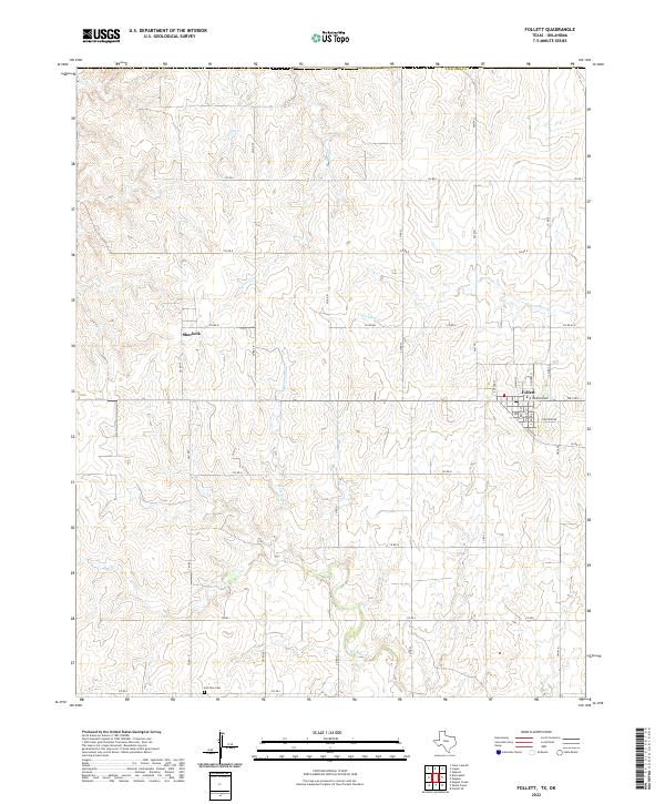 2022 Follett2022 Print · USGSThe northeastern Texas Panhandle at the edge of the Oklahoma border remains a landscape of high plains and deep creek drainages. Researchers can locate the Fairview Cem and the settlement of Sherlock alongside the primary town center of Follett.
End of results
Showing maps 1-9 of 9
Top cities near Follett
Frequently asked questions
- What are the different types of historical maps available for Follett?
- What is the oldest map of Follett?
- Where can I purchase historical maps of Follett for my home or office?
- Where can I download high-res historical maps of Follett?
- Are there historical topographic maps available for Follett?
- Is there historical aerial imagery available for Follett?
- Where are historical maps of Follett sourced from?