Old Maps of Mockingbird Heights, Midland for Genealogy
Trace your family roots with 9 historic maps of Mockingbird Heights. These high-res maps reveal old neighborhoods, homesites, landmarks, and streets — helping you uncover where your ancestors lived and how the area evolved over time.
- Explore historic neighborhoods: Identify where your relatives may have lived in the 1800s or 1900s.
- Compare maps over time: Trace the changes in streets, buildings, and landmarks for multi-generational research.
- Perfect for genealogy & ancestry research: Used by family historians and researchers to map out lineage and migration.
These maps are an incredible resource for exploring your personal connection to Mockingbird Heights's past.
Mockingbird Heights, Midland maps
(9)- 1954 Map of Hobbs, 1963 Print
 1954 Hobbs1963 Print · USGSThe High Plains and Permian Basin transition is captured here at the height of the mid-century energy boom. Genealogists and industrial historians can trace the foundations of Humble City, locate the Potash Mine and Plant, and follow the Texas-New Mexico RR.2 unique versions available
 - 1958 Map of Hobbs
 1958 Hobbs1958 Print · USGSThe High Plains of the Texas-New Mexico border are shown here during the height of the mid-century oil boom. Genealogists and historians can trace the development of Hobbs, Lovington, and Jal, alongside ranching landmarks like James Ranch and the early Texas-New Mexico Railway.
 - 1966 Map of Northwest Midland, 1968 Print
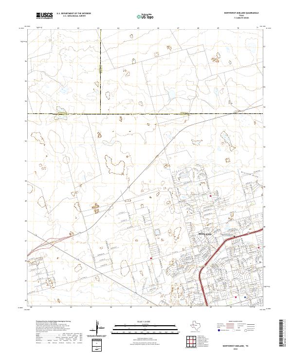
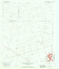 1966 Northwest Midland1968 Print · USGSMidland expands northward during the mid-sixties, showcasing a landscape where local ranching and early suburban growth meet. Trace the development of neighborhood schools like Lee High Sch, the Drive-in Theater, and the unique High Sky Girls Ranch.3 unique versions available
 - 1991 Map of Andrews, 1992 Print
 1991 Andrews1992 Print · USGSThe West Texas oil country comes into sharp focus in the early nineties, centered on the energy hub of Andrews. Researchers can trace the sprawling infrastructure of the Mabee Oil Field and Goldsmith Oil Field alongside Shafter Lake.
 - 2010 Map of Northwest Midland, 2010 Print
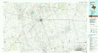
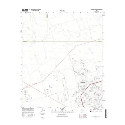
 2010 Northwest Midland2010 Print · USGSCovers Mockingbird Heights, including Midland, Saddle Club Ranch Estates, and other nearby areas
 - 2012 Map of Northwest Midland, 2012 Print
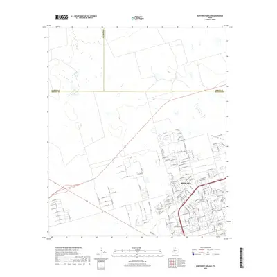
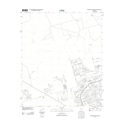 2012 Northwest Midland2012 Print · USGSCovers Mockingbird Heights, including Midland, Saddle Club Ranch Estates, and other nearby areas
 - 2016 Map of Northwest Midland, 2016 Print
 2016 Northwest Midland2016 Print · USGSCovers Mockingbird Heights, including Midland, Saddle Club Ranch Estates, and other nearby areas
 - 2019 Map of Northwest Midland, 2019 Print
 2019 Northwest Midland2019 Print · USGSCovers Mockingbird Heights, including Midland, Saddle Club Ranch Estates, and other nearby areas
 - 2022 Map of Northwest Midland, 2022 Print
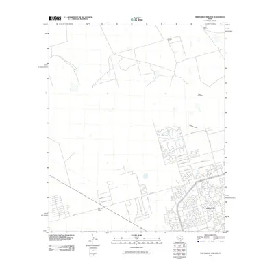
 2022 Northwest Midland2022 Print · USGSMidland’s suburban growth and regional road network are clear in this contemporary look at the West Texas landscape. Researchers can trace local development through Tattenham Corner or find the Saint Nicholas Episcopal Church Columbarium.
End of results
Showing maps 1-9 of 9
Frequently asked questions
- What are the different types of historical maps available for Mockingbird Heights?
- What is the oldest map of Mockingbird Heights?
- Where can I purchase historical maps of Mockingbird Heights for my home or office?
- Where can I download high-res historical maps of Mockingbird Heights?
- Are there historical topographic maps available for Mockingbird Heights?
- Is there historical aerial imagery available for Mockingbird Heights?
- Where are historical maps of Mockingbird Heights sourced from?