Old Maps of Boys Ranch, Texas
Explore 9 old maps of Boys Ranch, spanning from 1954 to today. These high-resolution historic maps reveal how streets, neighborhoods, landmarks, and natural features evolved over time — perfect for genealogy, metal detecting, research, and local history exploration.
What you can do with these maps:
- See how Boys Ranch changed over time: Compare historical maps to modern-day views to trace roads, homesites, rail lines & more.
- View detailed metadata: Each map includes creators, publishers, year, scale, and archive source.
- Overlay maps with satellite & LiDAR: Visualize the past alongside modern tools to explore terrain & human change.
- Trusted historical sources: Maps sourced from the USGS, Library of Congress, and other archives.
- Access maps your way: View online, download high-res files, or order prints for personal or research use.
Start exploring old maps of Boys Ranch to uncover forgotten places, hidden landmarks, and the deep history beneath your feet.
Boys Ranch, TX maps
(9)- 1954 Map of Tucumcari, 1965 Print
 1954 Tucumcari1965 Print · USGSThe high plains along the New Mexico and Texas border come alive in this mid-century survey, just as the regional highway network was maturing. Trace the historic route of U.S. 66 through Glenrio and San Jon or locate remote rail sidings like Rehm Station and Obar.2 unique versions available
 - 1958 Map of Tucumcari
 1958 Tucumcari1958 Print · USGSEastern New Mexico and the Texas Panhandle meet in this mid-century survey of the high plains ranching and rail corridor. Researchers can trace the path of Mother Road travelers through Tucumcari and Glenrio or locate remote rail stops like Nara Visa Station and Hartley Station.
 - 1971 Map of Boys Ranch West, 1974 Print
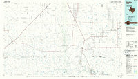
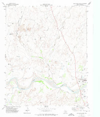 1971 Boys Ranch West1974 Print · USGSThe Canadian River breaks in Oldham County appear here in the early 1970s, showcasing a landscape shaped by ranching and the railroad. Genealogists and historians can locate Tascosa, Boot Hill Cem, and the specialized facilities at Boys Ranch.
 - 1985 Map of Hartley, 1986 Print
 1985 Hartley1986 Print · USGSThe Texas Panhandle in the mid-eighties was a land of sprawling cattle ranches and emerging energy fields linked by deep-rooted rail lines. Genealogists and historians can trace the paths of the Burlington Northern through Channing or locate riverside landmarks like Tascosa and Boys Ranch.2 unique versions available
 - 2010 Map of Boys Ranch West, 2010 Print
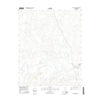
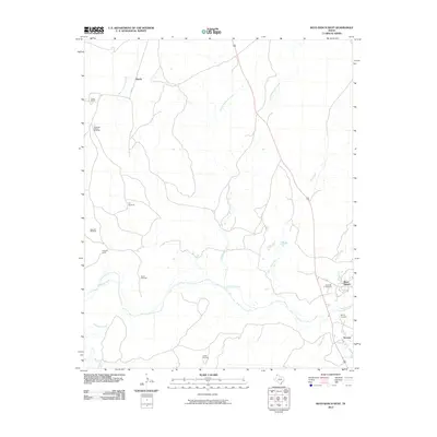 2010 Boys Ranch West2010 Print · USGSCovers Boys Ranch, including Tascosa, Murdo, and other nearby areas
 - 2012 Map of Boys Ranch West, 2012 Print
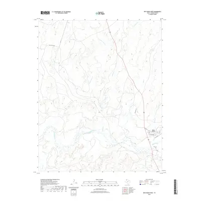
 2012 Boys Ranch West2012 Print · USGSCovers Boys Ranch, including Tascosa, Murdo, and other nearby areas
 - 2016 Map of Boys Ranch West, 2016 Print
 2016 Boys Ranch West2016 Print · USGSCovers Boys Ranch, including Tascosa, Murdo, and other nearby areas
 - 2019 Map of Boys Ranch West, 2019 Print
 2019 Boys Ranch West2019 Print · USGSCovers Boys Ranch, including Tascosa, Murdo, and other nearby areas
 - 2022 Map of Boys Ranch West, 2022 Print
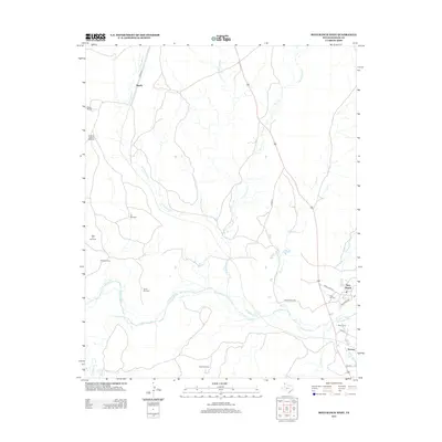
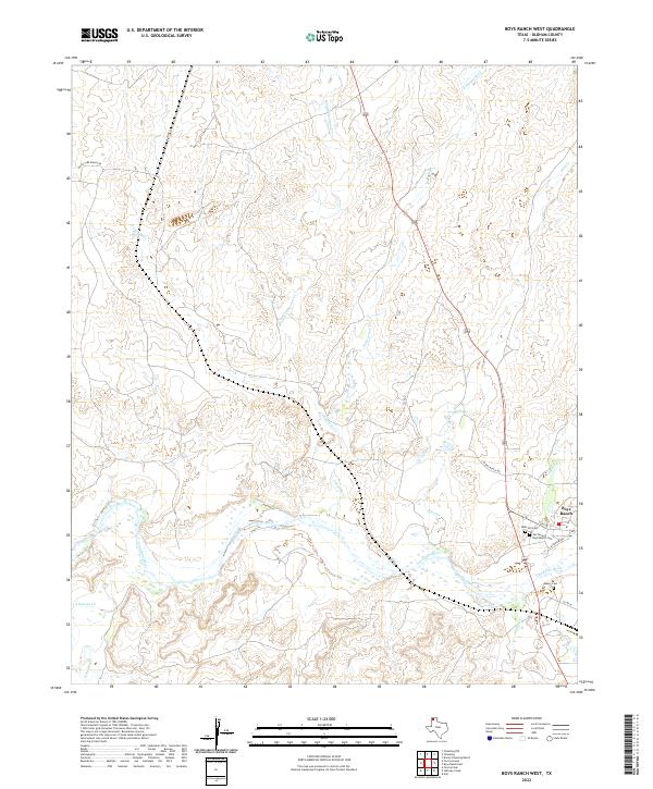 2022 Boys Ranch West2022 Print · USGSThe Texas Panhandle's ranching country comes into focus in this contemporary survey of the Canadian River valley. Researchers can locate significant local burial sites like Boot Hill Cem and Muncy Cem while tracing the winding paths of Rica Cr and Tascosa Cr.
End of results
Showing maps 1-9 of 9
Top cities near Boys Ranch
Frequently asked questions
- What are the different types of historical maps available for Boys Ranch?
- What is the oldest map of Boys Ranch?
- Where can I purchase historical maps of Boys Ranch for my home or office?
- Where can I download high-res historical maps of Boys Ranch?
- Are there historical topographic maps available for Boys Ranch?
- Is there historical aerial imagery available for Boys Ranch?
- Where are historical maps of Boys Ranch sourced from?