Old Maps of Bakersfield, Texas
Explore 11 old maps of Bakersfield, spanning from 1929 to today. These high-resolution historic maps reveal how streets, neighborhoods, landmarks, and natural features evolved over time — perfect for genealogy, metal detecting, research, and local history exploration.
What you can do with these maps:
- See how Bakersfield changed over time: Compare historical maps to modern-day views to trace roads, homesites, rail lines & more.
- View detailed metadata: Each map includes creators, publishers, year, scale, and archive source.
- Overlay maps with satellite & LiDAR: Visualize the past alongside modern tools to explore terrain & human change.
- Trusted historical sources: Maps sourced from the USGS, Library of Congress, and other archives.
- Access maps your way: View online, download high-res files, or order prints for personal or research use.
Start exploring old maps of Bakersfield to uncover forgotten places, hidden landmarks, and the deep history beneath your feet.
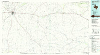
Bakersfield, TX maps
(11)- 1929 Map of Independence Draw Quadrangle
 1929 Independence Draw Quadrangle1929 Print · USGSPecos and Terrell Counties come into focus during the late 1920s as ranching outposts and the Old Spanish Trail defined the West Texas landscape. Genealogists and historians can trace family-named sites like Harral Headquarters, the Salt Works, and the abandoned site at Free (Abd).
 - 1954 Map of Fort Stockton, 1965 Print
 1954 Fort Stockton1965 Print · USGSWest Texas ranching and the early energy industry converge in this mid-century survey of the Trans-Pecos. Genealogists and historians can locate specific family lands like Graef Brothers Ranch and trace the paths of the Old Spanish Trail and the Southern Pacific railroad.3 unique versions available
 - 1958 Map of Fort Stockton
 1958 Fort Stockton1958 Print · USGSThe Trans-Pecos region of West Texas in the late fifties is a landscape of vast mesas and isolated ranching hubs. Genealogists and historians can trace the paths of the Texas and New Orleans RR through Alpine or locate early settlements like Bakersfield and Sanderson.
 - 1969 Map of Bakersfield, 1973 Print
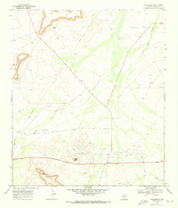 1969 Bakersfield1973 Print · USGSPecos County energy and ranching operations are captured here during the late sixties. Researchers can trace the Taylor-Link Oil And Gas Field, find the McDonald Ranch, or locate landmarks like Squawteat Peak.
 - 1973 Map of Fort Stockton, 1974 Print
 1973 Fort Stockton1974 Print · USGSThe Trans-Pecos region of West Texas comes alive in the early seventies, from the desert flats of the Stockton Plateau to the heights of the Davis Mountains. Researchers can trace the legacy of frontier outposts and rail lines through Fort Davis Nat Hist Site, Alpine, and the Southern Pacific RR.
 - 1985 Map of Fort Stockton, 1986 Print
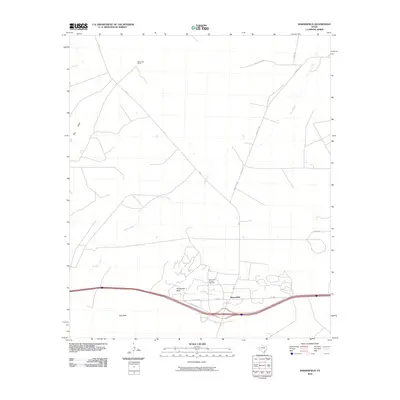
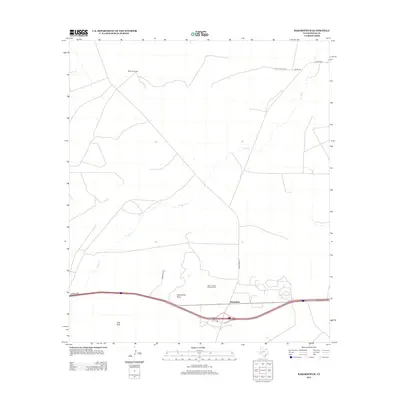
 1985 Fort Stockton1986 Print · USGSFort Stockton and the surrounding West Texas mesas are captured here in the mid-1980s, revealing a landscape of ranching, rail, and energy. Genealogists and historians can trace local landmarks like the Cem, the City-County Airport, and the settlement of Bakersfield.2 unique versions available
 - 2010 Map of Bakersfield, 2010 Print
 2010 Bakersfield2010 Print · USGSCovers Bakersfield, including Pecos County, United States, and other nearby areas
 - 2012 Map of Bakersfield, 2012 Print
 2012 Bakersfield2012 Print · USGSCovers Bakersfield, including Pecos County, United States, and other nearby areas
 - 2016 Map of Bakersfield, 2016 Print
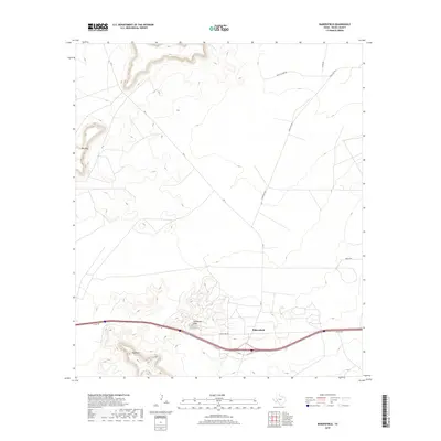
 2016 Bakersfield2016 Print · USGSCovers Bakersfield, including Pecos County, United States, and other nearby areas
 - 2019 Map of Bakersfield, 2019 Print
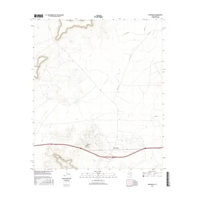
 2019 Bakersfield2019 Print · USGSCovers Bakersfield, including Pecos County, United States, and other nearby areas
 - 2023 Map of Bakersfield, 2023 Print
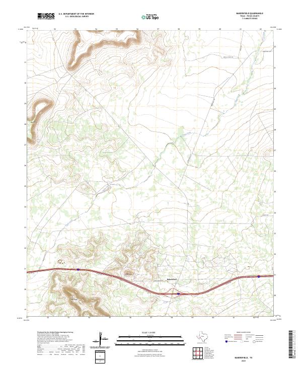 2023 Bakersfield2023 Print · USGSThe West Texas landscape around the community of Bakersfield is documented here in the early 2020s. Researchers can locate distinctive landmarks like Tunas Peak and Hog Peak or trace the route of Tunas Creek across the ranchlands.
End of results
Showing maps 1-11 of 11
Top cities near Bakersfield
Frequently asked questions
- What are the different types of historical maps available for Bakersfield?
- What is the oldest map of Bakersfield?
- Where can I purchase historical maps of Bakersfield for my home or office?
- Where can I download high-res historical maps of Bakersfield?
- Are there historical topographic maps available for Bakersfield?
- Is there historical aerial imagery available for Bakersfield?
- Where are historical maps of Bakersfield sourced from?